Great Barrier Reef / 10 photo spots
10 Instagram spots around Great Barrier Reef
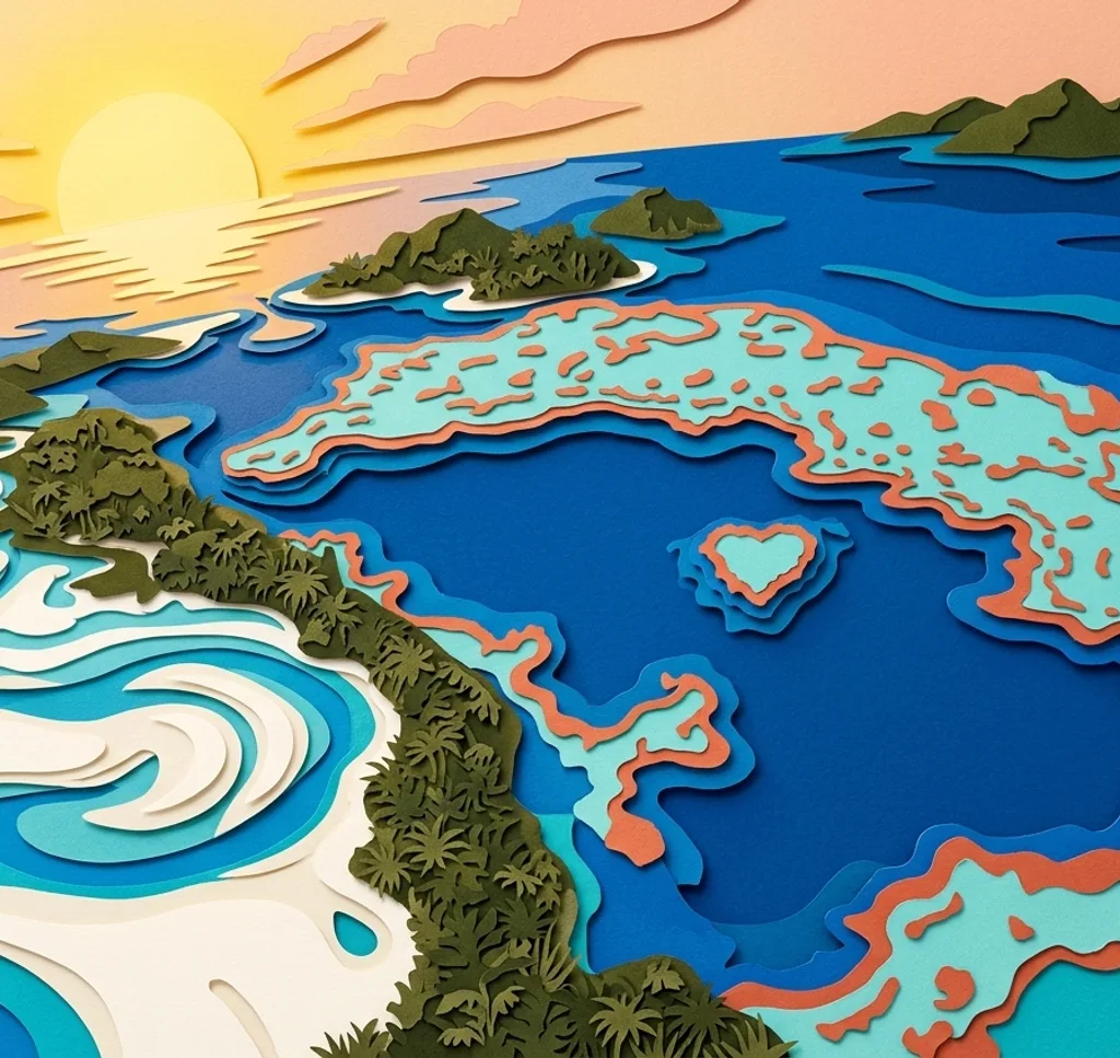
The Great Barrier Reef region stretches across islands, beaches and coral cays. These locations show a range of coastal and aerial perspectives.
Explore the map
Photo spots on the map
0 of 10 photo ideas have sourced location coordinates. The initial view is for orientation. An area marker does not indicate an exact photo position.
Select a highlighted number to show its sourced location on the map. Every name links to the photo spot.
If the map does not load, use the OpenStreetMap link or the photo spot list.
Map data: © OpenStreetMap contributors, ODbL.
Destination reference: GeoNames (CC BY 4.0). Spot coordinates: Wikidata, CC0. Selection, association and some calculations by You, Me, Away.
Heart Reef
Seen from the air, Heart Reef has a recognisable heart-shaped outline within the surrounding water. A wider composition shows the reef’s shape in context.
Search Google MapsWhitehaven Beach
Whitehaven Beach in the Whitsundays is known for its pale sand and blue water. Compose along the shoreline to emphasise the meeting of beach and sea.
Search Google MapsHamilton Island
Hamilton Island provides views over the Whitsunday Islands and surrounding water. Use the island landscape in the foreground to add depth to a coastal panorama.
Search Google MapsLady Musgrave Island
Lady Musgrave Island sits beside a lagoon on the southern reef. Look for a composition that balances the island’s shore with the water around it.
Search Google MapsLady Elliot Island
Lady Elliot Island is a coral cay on the southern Great Barrier Reef. Frame its shoreline against the sea for a simple island landscape.
Search Google MapsHeron Island
Heron Island is another coral cay in the southern reef region. Use a broad shoreline view to show the island’s position among the surrounding water.
Search Google MapsGreat Keppel Island
Great Keppel Island combines island scenery with beaches in the southern reef region. Let the shoreline guide the eye across the frame towards the water.
Search Google MapsNudey Beach, Fitzroy Island
Nudey Beach on Fitzroy Island brings together beach, sea and the island’s greenery. Use the shore as a leading line for a layered coastal scene.
Search Google MapsGreen Island
Green Island is a coral cay with rainforest and surrounding reef near Cairns. Photograph the edge of the forest together with the beach and water.
Search Google MapsMagnetic Island
Magnetic Island has bays and distinctive granite boulders. Use the rocks in the foreground to add scale and texture to a photograph of the coast.
Search Google Maps