Aarhus / 10 photo spots
10 Instagram spots around Aarhus
Aarhus brings together historic streets, waterfront architecture and parks. These photo ideas use outdoor viewpoints across the city.
Explore the map
Photo spots on the map
4 of 10 photo ideas have sourced location coordinates. The initial view is for orientation. An area marker does not indicate an exact photo position.
Select a highlighted number to show its sourced location on the map. Every name links to the photo spot.
If the map does not load, use the OpenStreetMap link or the photo spot list.
All photo spots
- Aarhus CathedralSourced place
- MøllestienApproximate area
- Aarhus City HallSourced place
- IsbjergetApproximate area
Map data: © OpenStreetMap contributors, ODbL.
Destination reference: GeoNames (CC BY 4.0). Spot coordinates: Wikidata, CC0. Selection, association and some calculations by You, Me, Away.
Aarhus Cathedral
Aarhus Cathedral stands on Store Torv with a tall tower above the square. From the public square, keep the tower to one side and use the open space in front to show its setting.
Search Google MapsMøllestien
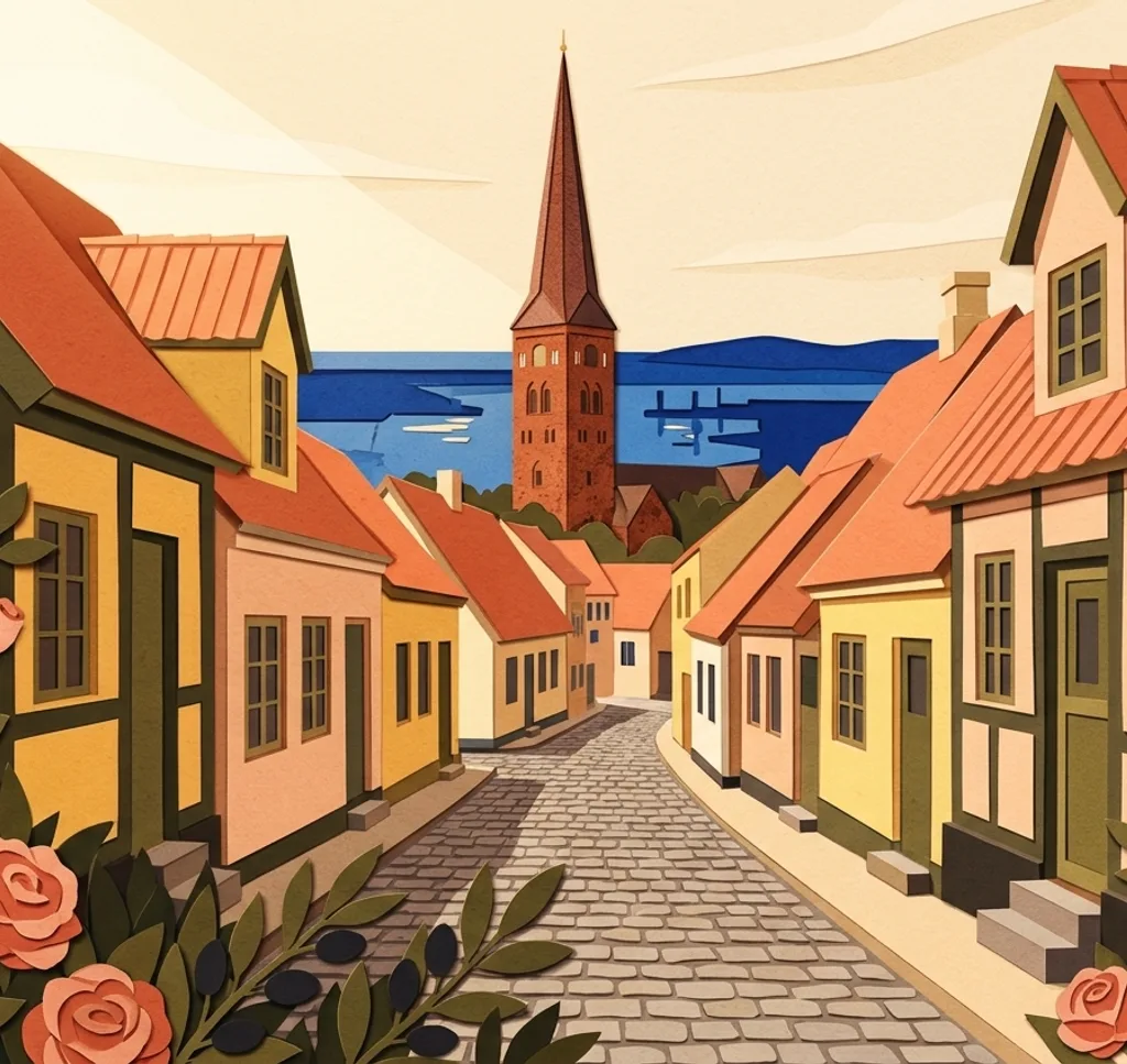
Møllestien is a cobbled public lane with small historic houses. Look for a pair of windows or doorways along the street and keep private entrances clear.
Search Google MapsAarhus City Hall
Aarhus City Hall has a functionalist design and a prominent tower. From Rådhuspladsen, frame a section of the pale stone façade together with the tower.
Search Google MapsAarhus University Park
University Park has paths, lakes and sloping lawns between campus buildings. From a path, use a curve of the lake to lead into the wider green space.
Search Google MapsAarhus Botanical Garden
The Botanical Garden has outdoor planting beds and a central rock garden. Choose a path beside the rockery and make the different heights of the planted beds your subject.
Search Google MapsDOKK1 waterfront
DOKK1 sits at the mouth of the canal by the Aarhus waterfront. From the harbour square outside, include the building and a strip of water in a wide frame.
Search Google MapsMarselisborg Mindepark
Mindeparken lies between Marselisborg Palace and Aarhus Bay, with open lawns and planted sections. Use a path through the greenery as the foreground for a wide park view.
Search Google MapsToldboden Customs House
The red-brick Toldboden stands in the modern harbour area near DOKK1. Photograph the exterior from the waterfront and contrast a section of the older façade with its surroundings.
Search Google MapsIsbjerget
The angular white buildings of Isbjerget form a residential development at Aarhus Ø. From the public harbour area, compose around the zigzag roofline while respecting residents’ windows and entrances.
Search Google MapsARoS exterior
The ARoS art museum carries a circular coloured-glass walkway on its roof. From the street outside, look for an angle that brings part of the ring and the building into the same frame.
Search Google MapsSources for these photo spots
- VisitAarhus: Aarhus Cathedral
- VisitAarhus: Møllestien
- VisitAarhus: Aarhus City Hall
- Aarhus University: University Park
- VisitAarhus: The Botanical Garden in Aarhus
- VisitAarhus: The Culture House DOKK1
- Aarhus Municipality: Mindeparken
- VisitAarhus: Toldboden
- VisitAarhus: Isbjerget
- VisitAarhus: Your rainbow panorama at ARoS