Adelaide / 10 photo spots
10 Instagram spots around Adelaide
Adelaide pairs civic art and heritage streets with formal gardens and open coastal views. These photo ideas identify public outdoor settings and explain how to frame each one without relying on access to private interiors.
Explore the map
Photo spots on the map
3 of 10 photo ideas have sourced location coordinates. The initial view is for orientation. An area marker does not indicate an exact photo position.
Select a highlighted number to show its sourced location on the map. Every name links to the photo spot.
If the map does not load, use the OpenStreetMap link or the photo spot list.
All photo spots
- Adelaide Himeji GardenApproximate area
- North TerraceApproximate area
- Port Adelaide LighthouseSourced place
Map data: © OpenStreetMap contributors, ODbL.
Destination reference: GeoNames (CC BY 4.0). Spot coordinates: Wikidata, CC0. Selection, association and some calculations by You, Me, Away.
The Spheres
Photograph The Spheres from the pedestrian surface of Rundle Mall, where the polished stainless steel reflects shoppers and neighbouring façades. Move slightly off-centre to place both mirrored forms against the long line of the mall.
Search Google MapsAdelaide Himeji Garden
Use the marked perspective stones to compose the lake, waterfall and stone lantern in one layered view. Stay on the paths and keep off the raked sand, showing the garden’s water-and-mountain and dry-garden styles together.
Search Google MapsInternational Rose Garden
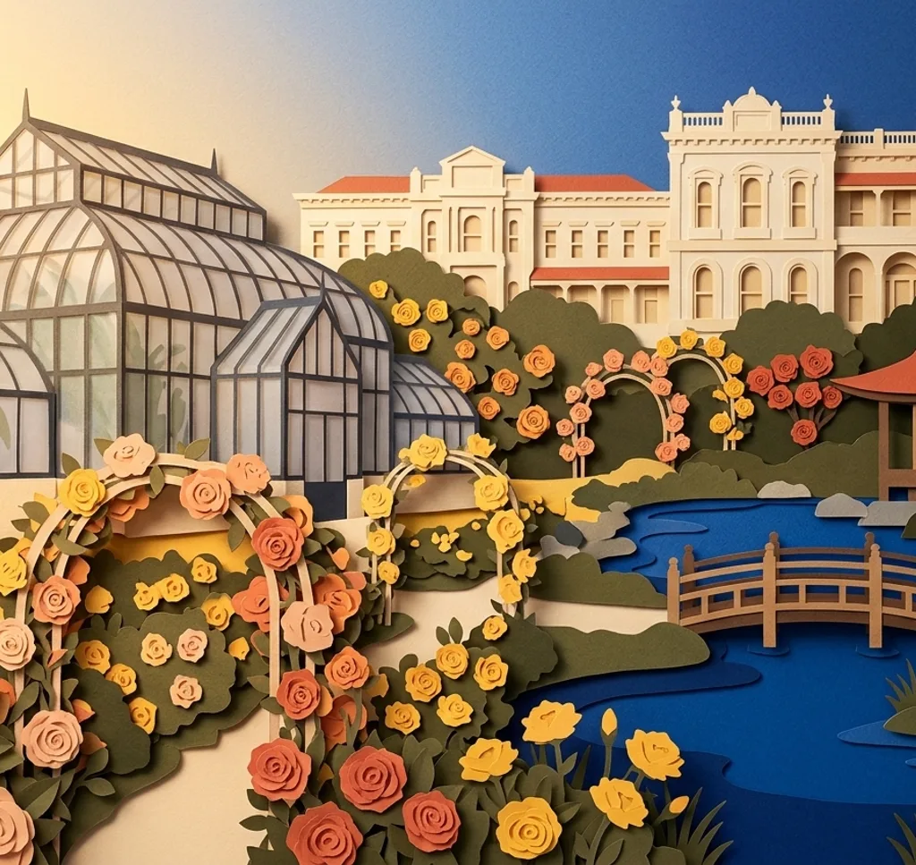
For a personal photograph, place a climbing-rose arch around the next bed and include the circular layout beyond it. The arches and companion plantings create layers. Commercial shoots and paid family photography require a permit.
Search Google MapsNorth Terrace
Walk the public boulevard and line up a statue or memorial with the cultural buildings behind it. A lengthwise composition can show how the Art Gallery, Museum and State Library sit together along Adelaide’s North Terrace.
Search Google MapsThe Three Rivers Fountain
At the southern end of Victoria Square / Tarntanyangga, photograph the fountain from the surrounding square. A three-quarter view can hold the three sculptural forms together while leaving enough space to show the civic setting.
Search Google MapsFestival Plaza
Use an arbour in Festival Plaza’s public space as a frame and let the paving lead towards the long water feature. Focus on open areas, and follow any temporary access signs around neighbouring works.
Search Google MapsMount Lofty Summit
From the official summit lookout, set Adelaide’s skyline below the horizon and leave room for the coast beyond. A wide horizontal frame makes the long view legible. Stay at the lookout rather than stepping onto slopes.
Search Google MapsGlenelg Jetty and Moseley Square
From Moseley Square, frame the Glenelg Jetty with its shore entrance visible. Keep the camera on the foreshore walkway, using the jetty’s straight line to draw the eye towards the water.
Search Google MapsBrighton Jetty
From the beach at Esplanade, step back far enough to include both Brighton Jetty and its memorial arch. Align the deck towards open water so the repeating supports create a clear vanishing point.
Search Google MapsPort Adelaide Lighthouse
Photograph the Port Adelaide Lighthouse from Black Diamond Square at the end of Commercial Road. Use a street-level vertical frame to include its base and tower together. This exterior view does not require entering the structure.
Search Google MapsSources for these photo spots
- The Spheres | Rundle Mall
- Adelaide Himeji Garden map brochure | City of Adelaide
- International Rose Garden | Botanic Gardens of South Australia
- Filming and Photography | Botanic Gardens of South Australia
- North Terrace | Experience Adelaide
- The Three Rivers | Experience Adelaide
- Festival Plaza | Renewal SA
- Mount Lofty Summit | National Parks and Wildlife Service South Australia
- Historic Glenelg self-guided walk | City of Holdfast Bay
- Brighton Jetty | South Australia tourism
- Port Adelaide Lighthouse | History Trust of South Australia
- Event permits, public areas of waterfront precinct | City of Port Adelaide Enfield