Aguascalientes, Mexico / 8 photo spots
8 Instagram spots around Aguascalientes, Mexico
Aguascalientes has garden squares, church façades and civic landmarks within the city. These photo ideas use public paths and exterior views.
Explore the map
Photo spots on the map
3 of 8 photo ideas have sourced location coordinates. The initial view is for orientation. An area marker does not indicate an exact photo position.
Select a highlighted number to show its sourced location on the map. Every name links to the photo spot.
If the map does not load, use the OpenStreetMap link or the photo spot list.
All photo spots
- Jardín de San MarcosApproximate area
- Jardín del EncinoApproximate area
- Teatro MorelosSourced place
Map data: © OpenStreetMap contributors, ODbL.
Destination reference: GeoNames (CC BY 4.0). Spot coordinates: Wikidata, CC0. Selection, association and some calculations by You, Me, Away.
Jardín de San Marcos
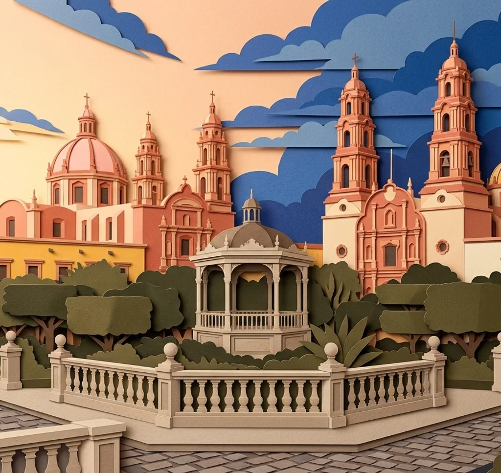
From a path in Jardín de San Marcos, frame the iron kiosk between the trees. Check the garden’s opening hours before visiting.
Search Google MapsTemplo de San Marcos
From the public space outside, photograph the façade of Templo de San Marcos. Leave enough room to include the upper details above the entrance.
Search Google MapsTemplo de San Antonio
Photograph the exterior of Templo de San Antonio from the public pavement. A vertical composition can include the façade and its towers.
Search Google MapsCatedral de Aguascalientes
From Plaza de la Patria, photograph the cathedral’s exterior and its two towers. Include part of the square to give the building context.
Search Google MapsExedra de Aguascalientes
The Exedra and its eagle-topped column stand in Plaza de la Patria. Photograph the monument from the public walkway, keeping the semicircular base in view.
Search Google MapsJardín del Encino
From the garden, photograph the exterior of the Templo del Encino. Use the open space as foreground and make room for visitors during local celebrations.
Search Google MapsJardín de Guadalupe
The Jardín de Guadalupe sits by the neighbourhood church. From the public garden, frame the temple’s façade and its tiled dome.
Search Google MapsTeatro Morelos
From Plaza de la Convención, photograph the front of Teatro Morelos. A straight-on frame makes the entrance the focus.
Search Google MapsSources for these photo spots
- INAH, Aguascalientes historic monuments
- Municipality of Aguascalientes, Jardín de San Marcos
- Municipality of Aguascalientes, San Marcos neighbourhood
- Municipality of Aguascalientes, Exedra
- Municipality of Aguascalientes, Guadalupe neighbourhood
- Secretaría de Cultura, Teatro Morelos
- Municipality of Aguascalientes, Barrio del Encino
- Municipality of Aguascalientes, Templo del Santuario de Nuestra Señora de Guadalupe
- Municipality of Aguascalientes, Cathedral