Alexandria / 8 photo spots
8 Instagram spots around Alexandria
Alexandria combines a Mediterranean waterfront with ancient sites, gardens and contemporary architecture. These eight ideas move between the harbour and the city’s cultural landmarks.
Explore the map
Photo spots on the map
0 of 8 photo ideas have sourced location coordinates. The initial view is for orientation. An area marker does not indicate an exact photo position.
Select a highlighted number to show its sourced location on the map. Every name links to the photo spot.
If the map does not load, use the OpenStreetMap link or the photo spot list.
Map data: © OpenStreetMap contributors, ODbL.
Destination reference: GeoNames (CC BY 4.0). Spot coordinates: Wikidata, CC0. Selection, association and some calculations by You, Me, Away.
Citadel of Qaitbay
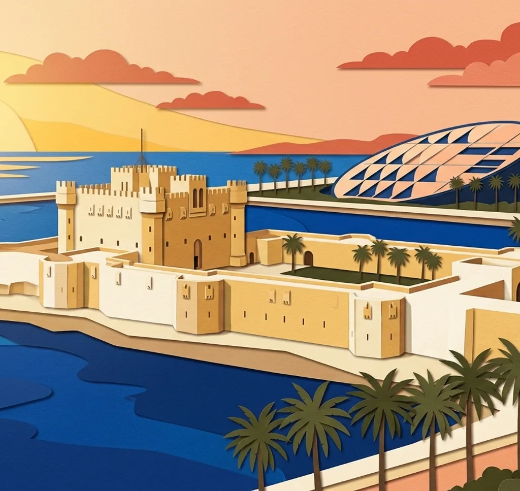
The Citadel of Qaitbay stands beside Alexandria’s harbour. Frame the fort’s outline against the sea, then look for a closer composition of the towers and stonework.
Search Google MapsBibliotheca Alexandrina
The Bibliotheca Alexandrina brings a modern library building to the city’s historic waterfront. Use a wide frame for the building, then isolate a detail of its sloping form.
Search Google MapsMontazah Gardens
The Montazah grounds combine gardens and coastal views. Use trees to frame a view across the grounds, then change direction for a composition with the sea. Check current access arrangements before visiting.
Search Google MapsPompey’s Pillar
The ancient column known as Pompey’s Pillar stands at an archaeological site in Alexandria. Leave space around its height in a vertical photograph and compare it with a wider view of the surroundings.
Search Google MapsRoman Amphitheatre at Kom el-Dikka
At Kom el-Dikka, the Roman amphitheatre offers curved tiers as a geometric subject. If the site is accessible, look for a viewpoint that shows the curve as well as the surrounding remains.
Search Google MapsAlexandria National Museum
The Alexandria National Museum is a stop for the city’s layered history. Photograph the building’s exterior, or ask staff about the rules before considering photographs inside.
Search Google MapsStanley Bridge
Stanley Bridge is a landmark on Alexandria’s waterfront. A wider composition can show the bridge in relation to the coast; keep pedestrian access and traffic in mind when choosing your position.
Search Google MapsAntoniadis Gardens
The Antoniadis Villa and Gardens add a garden setting to an Alexandria itinerary. Look for a composition that pairs planting with the historic villa, and check access before visiting.
Search Google Maps