Alice Springs / 8 photo spots
8 Instagram spots around Alice Springs
Alice Springs sits among the ranges of Central Australia. This selection includes gardens and heritage sites in town as well as two landscapes reached on trips into the surrounding ranges.
Explore the map
Photo spots on the map
0 of 8 photo ideas have sourced location coordinates. The initial view is for orientation. An area marker does not indicate an exact photo position.
Select a highlighted number to show its sourced location on the map. Every name links to the photo spot.
If the map does not load, use the OpenStreetMap link or the photo spot list.
Map data: © OpenStreetMap contributors, ODbL.
Destination reference: GeoNames (CC BY 4.0). Spot coordinates: Wikidata, CC0. Selection, association and some calculations by You, Me, Away.
Anzac Hill
Anzac Hill overlooks Alice Springs and the surrounding ranges. Make a wide panorama of the town, then try a closer composition of the ranges behind it.
Search Google MapsAlice Springs Telegraph Station
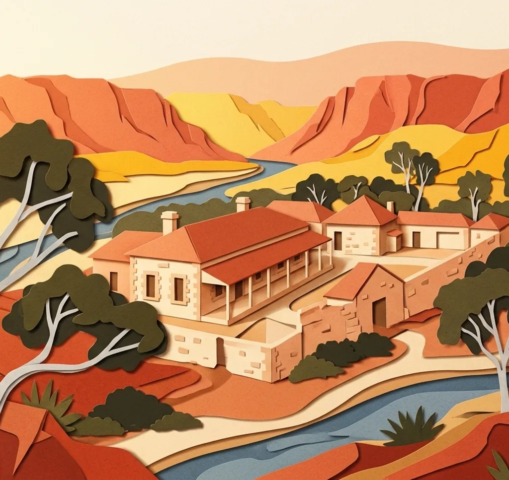
The historic telegraph station preserves original stone buildings. Look for the contrast between the buildings and the dry landscape around the reserve.
Search Google MapsOlive Pink Botanic Garden
Short paths in this botanic garden pass native plants and offer views towards the ranges. Let a path and the surrounding plants lead into a landscape frame.
Search Google MapsAlice Springs Desert Park
At Desert Park, walking trails move through recreated desert habitats. Photograph the textures of desert plants from the paths. Park entry is charged; check the current visitor conditions before going.
Search Google MapsTodd Mall
Todd Mall is a central street with galleries and cafés. Use the street itself as a leading line and ask before photographing people or artwork.
Search Google MapsAraluen Cultural Precinct
The Araluen Cultural Precinct brings galleries and museums together. Treat the exterior as an architectural subject and follow local guidance around cultural sites and photography.
Search Google MapsSimpsons Gap
West of Alice Springs, Simpsons Gap opens between the cliffs of the West MacDonnell Ranges. Visitors who do not live in the Northern Territory need an NT Parks Visitor Pass. Check current trail closures and respect the area’s cultural significance to the Arrernte people.
Search Google MapsStandley Chasm / Angkerle Atwatye
The Arrernte-owned site is outside Alice Springs. The walk leads between rock walls. Entry to the chasm is charged. Check the operator’s current access information and respect this culturally significant place.
Search Google MapsSources for these photo spots
- Tourism NT, Alice Springs and surrounds itinerary
- Tourism NT, walking in Alice Springs
- Alice Springs Desert Park, plan your visit
- Tourism NT, things to do in Alice Springs
- Standley Chasm, visitor information
- Northern Territory Government, Simpsons Gap
- Northern Territory Government, NT Parks Visitor Pass
- Standley Chasm, walk the chasm
- Alice Springs Desert Park, tickets