Antananarivo / 8 photo spots
8 Instagram spots around Antananarivo
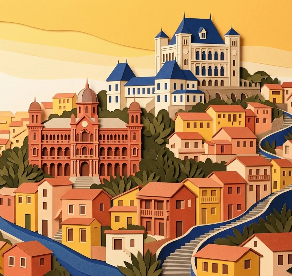
Madagascar’s capital climbs across the central highlands, with royal heritage, markets and a city lake. Ambohimanga is a separate excursion beyond the city.
Official travel advice
Checked on
Germany’s Federal Foreign Office reports frequent pickpocketing and an increase in armed robberies, including during the day, in Antananarivo. It highlights the city centre around Analakely and Avenue de l’Indépendance among the affected areas.
Check the latest advice from the relevant authorities before you travel.
Explore the map
Photo spots on the map
0 of 8 photo ideas have sourced location coordinates. The initial view is for orientation. An area marker does not indicate an exact photo position.
Select a highlighted number to show its sourced location on the map. Every name links to the photo spot.
If the map does not load, use the OpenStreetMap link or the photo spot list.
Map data: © OpenStreetMap contributors, ODbL.
Destination reference: GeoNames (CC BY 4.0). Spot coordinates: Wikidata, CC0. Selection, association and some calculations by You, Me, Away.
Rova of Antananarivo
The royal compound occupies a hill above the capital. Compose an exterior view that includes the compound’s setting and follow local access and photography rules.
Search Google MapsAndafiavaratra Palace Museum
Andafiavaratra is a palace museum in Antananarivo’s historic upper town. Consider the building’s exterior and ask about the current rules before photographing inside.
Search Google MapsPlace Andohalo
Place Andohalo is one of the historic squares of the upper town. Use the square as a foreground for the architecture and streets around it.
Search Google MapsPlace Rasalama
Place Rasalama forms part of the historic upper-town streetscape. Look for a detail of the setting and compare it with a wider view of the square.
Search Google MapsLake Anosy
Lake Anosy is an urban lake in the capital. Frame the water with the surrounding city and hills for context rather than treating the lake as an isolated landscape.
Search Google MapsAnalakely Market
The Analakely area is a central market district. Photograph colours and textures in the stalls, asking people before taking close portraits.
Search Google MapsTsimbazaza Botanical and Zoological Park
Tsimbazaza is a botanical and zoological park in the capital. Look for plant forms and garden scenes, and follow the park’s photography and animal-welfare rules.
Search Google MapsRoyal Hill of Ambohimanga
Ambohimanga is a separate excursion north of Antananarivo and remains a sacred place. Photograph only where permitted, and treat ceremonies and burial areas with respect.
Search Google MapsSources for these photo spots
- Office National du Tourisme de Madagascar, Antananarivo
- UNESCO World Heritage Centre, La Haute Ville d’Antananarivo tentative list
- Office National du Tourisme de Madagascar, Musée d’Andafiavaratra
- UNESCO World Heritage Centre, Royal Hill of Ambohimanga
- Agence universitaire de la Francophonie, Parc Botanique et Zoologique de Tsimbazaza