Antigua Guatemala / 9 photo spots
9 Instagram spots around Antigua Guatemala
Antigua Guatemala has mountain views, church façades and courtyards. These ideas use public viewpoints and visitor areas, with a little extra planning for the convent.
Official travel advice
Checked on
The U.S. Department of State rates Guatemala as a whole at Level 3 and recommends reconsidering travel. Some regions have stricter advice.
Check the latest advice from the relevant authorities before you travel.
Explore the map
Photo spots on the map
1 of 9 photo ideas has sourced location coordinates. The initial view is for orientation. An area marker does not indicate an exact photo position.
Select a highlighted number to show its sourced location on the map. Every name links to the photo spot.
If the map does not load, use the OpenStreetMap link or the photo spot list.
Map data: © OpenStreetMap contributors, ODbL.
Destination reference: GeoNames (CC BY 4.0). Spot coordinates: Wikidata, CC0. Selection, association and some calculations by You, Me, Away.
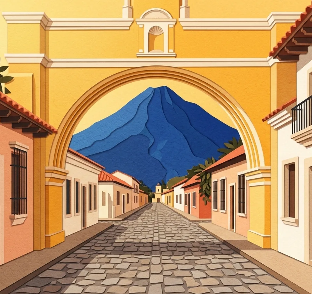
Santa Catalina Arch
Photograph the yellow arch from the sidewalk along Calle del Arco. If the sky is clear, look for Volcán de Agua beyond it. Stay on the sidewalk and watch for traffic.
Search Google MapsParque Central fountain
The Fuente de las Sirenas stands among trees in Parque Central. From a park path, frame the fountain with the foliage behind it.
Search Google MapsAntigua Cathedral
The cathedral faces Parque Central. From the public square, give the façade space in a vertical frame and look for the ornamental details around its entrance.
Search Google MapsPalacio de los Capitanes
The former palace faces Parque Central and has two levels of arches. Photograph a short section of the arcade from the park for a repeating pattern.
Search Google MapsLa Merced
The decorated façade of La Merced is a subject in its own right. From the public area outside, move to one side and frame the doorway and ornament together. Keep clear of services and entrances.
Search Google MapsTanque La Unión
Tanque La Unión is a former public washhouse. From the surrounding public space, use the edge of the basin as a horizontal line and give anyone using the area room.
Search Google MapsCerro de la Cruz
From an open viewpoint in the Cerro de la Cruz recreation park, frame Antigua below with Volcán de Agua in the distance when visible. Stay on open paths and follow any closure signs.
Search Google MapsSan Francisco El Grande
From the open visitor forecourt of San Francisco El Grande, frame the church’s ornate façade and its entrance. Check access before visiting and respect services.
Search Google MapsConvento de Capuchinas
The Capuchinas convent has a cloister and garden for visitors. Frame the arches from the open visitor route. Admission is charged and the site closes on selected holidays, so check visiting times. Ask the heritage authority about casual photos, and arrange paid authorization in advance for professional photo sessions.
Search Google MapsSources for these photo spots
- Agencia Guatemalteca de Noticias: Cinco lugares en Antigua Guatemala
- Visit Guatemala: Arco de Santa Catalina
- Ministerio de Cultura y Deportes: Sirena original de la fuente
- Visit Guatemala: Museos en Antigua Guatemala
- INGUAT: Mapa turístico de Sacatepéquez
- Agencia de Promoción Turística de Centroamérica: Ciudades coloniales
- Ministerio de Cultura y Deportes: Parque Recreativo Cerro de la Cruz
- Radio TGW: Iglesia San Francisco el Grande
- CNPAG: Visitas y fotografía profesional en monumentos
- CNPAG: Reglamento de uso temporal de monumentos
- Universidad de San Carlos de Guatemala: Iglesia de San Francisco el Grande