Antwerp / 10 photo spots
10 Instagram spots around Antwerp
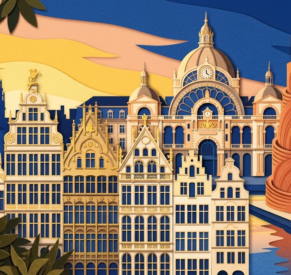
Antwerp’s riverfront, historic squares and contemporary harbour architecture offer different ways to photograph the city. These ideas use outdoor viewpoints and leave time to explore each neighbourhood.
Explore the map
Photo spots on the map
3 of 10 photo ideas have sourced location coordinates. The initial view is for orientation. An area marker does not indicate an exact photo position.
Select a highlighted number to show its sourced location on the map. Every name links to the photo spot.
If the map does not load, use the OpenStreetMap link or the photo spot list.
All photo spots
- Grote MarktApproximate area
- Het SteenSourced place
- Royal Museum of Fine Arts AntwerpSourced place
Map data: © OpenStreetMap contributors, ODbL.
Destination reference: GeoNames (CC BY 4.0). Spot coordinates: Wikidata, CC0. Selection, association and some calculations by You, Me, Away.
MAS Museum
The MAS has rippling glass and stacked volumes by the old docks. From Hanzestedenplaats, frame one glazed corner together with the red exterior to emphasise the building’s layers.
Search Google MapsAntwerp Central Station
The station’s historic entrance facade and dome face Koningin Astridplein. From the square, choose a tighter view of the dome and the stonework around it.
Search Google MapsPort House
The Port House combines an older building with a faceted glass structure. From a public path in the area, photograph the meeting point of the two parts and leave space above the glass.
Search Google MapsGrote Markt
On Grote Markt, the town hall and guild houses surround the square. Use the paving as foreground and choose a row of facades rather than trying to include every side at once.
Search Google MapsSt Charles Borromeo Church
The baroque church faces Hendrik Conscienceplein. From the square, make a close composition of the stone facade and its layered architectural details.
Search Google MapsLeft Bank riverfront
From the Left Bank, look across the Scheldt towards Antwerp’s skyline. Keep the river in the lower part of the image and choose one section of the opposite bank as your focus.
Search Google MapsHet Steen
Het Steen stands beside the Scheldt and combines an old castle with a newer extension. From the public surroundings, photograph the older stone entrance as a detail.
Search Google MapsRoyal Museum of Fine Arts Antwerp
The Royal Museum of Fine Arts faces a public square in the Zuid district. Step back on the square and use the museum’s broad stairs as foreground for the facade.
Search Google MapsCathedral of Our Lady
The Cathedral of Our Lady rises above Handschoenmarkt. From the square, look up towards the tower and keep a piece of the facade in the lower part of a vertical image.
Search Google MapsDroogdokkenpark
At Droogdokkenpark, the Scheldt bends towards the port. From the public park, use the river’s curve to lead into a wide view and keep the horizon level.
Search Google MapsSources for these photo spots
- MAS: A contemporary warehouse
- Flemish Heritage Agency: Antwerp Central Station
- Flemish Heritage Agency: Havenhuis and former fire station
- Flemish Heritage Agency: Grote Markt
- Flemish Heritage Agency: Sint-Carolus Borromeuskerk
- City of Antwerp: Linkeroever waterfront
- Flemish Heritage Agency: Het Steen
- KMSKA: Museum history
- Flemish Heritage Agency: Cathedral of Our Lady
- Visit Antwerpen: Where to find toilets in Antwerp
- Lee Kuan Yew World City Prize: Antwerp Scheldt Quays
- City of Antwerp: Droogdokken site and Scheldt quays