Arequipa / 10 photo spots
10 Instagram spots around Arequipa
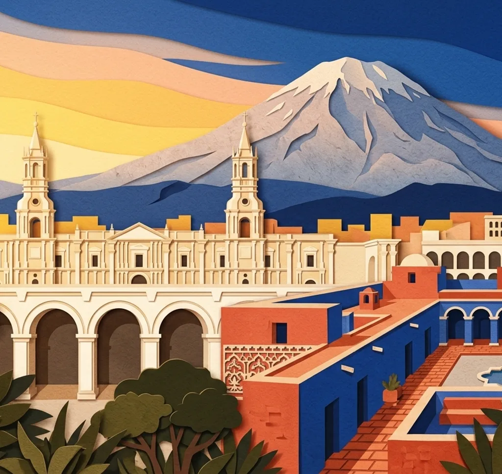
Arequipa’s volcanic stone architecture, historic streets and viewpoints offer contrasting city photographs. Two lookout points in nearby districts add a wider perspective on the surrounding landscape.
Explore the map
Photo spots on the map
1 of 10 photo ideas has sourced location coordinates. The initial view is for orientation. An area marker does not indicate an exact photo position.
Select a highlighted number to show its sourced location on the map. Every name links to the photo spot.
If the map does not load, use the OpenStreetMap link or the photo spot list.
Map data: © OpenStreetMap contributors, ODbL.
Destination reference: GeoNames (CC BY 4.0). Spot coordinates: Wikidata, CC0. Selection, association and some calculations by You, Me, Away.
Plaza de Armas
Arequipa’s main square has a central fountain and arcades built from volcanic sillar stone. Photograph across the square, using the fountain in the foreground and the cathedral beyond to anchor the composition.
Search Google MapsArequipa Cathedral
The cathedral faces the Plaza de Armas and is built from sillar. Stand back on the square for a frontal view that includes both ends of the long façade and enough space around it.
Search Google MapsSanta Catalina Monastery
Santa Catalina contains cloisters and courtyards within its historic walls. Frame the red walls of Plaza Zocodover from the visitor route. Photography is permitted without flash indoors, and professional sessions require advance coordination.
Search Google MapsChurch of La Compañía
La Compañía stands near the Plaza de Armas at the corner of General Morán and Álvarez Thomas. From the public street, make the church façade the subject and retain some space around its edges.
Search Google MapsSan Lázaro
San Lázaro is a traditional neighbourhood of narrow passages and small squares. Look along one of its lanes and use the stone façades on either side to lead the eye into the frame.
Search Google MapsYanahuara Viewpoint
In neighbouring Yanahuara, the viewpoint’s inscribed arches overlook Arequipa and the Misti volcano. Position an arch at the edge of the frame and leave room for the city and mountain beyond.
Search Google MapsSachaca Viewpoint
The lookout tower in nearby Sachaca offers a broad view of Arequipa and its surrounding volcanoes. Compose from the viewpoint with the city low in the frame and the mountains above it.
Search Google MapsPuente Grau
Puente Grau connects central Arequipa with Yanahuara over the Chili River. From the pedestrian side, include the bridge parapet in the foreground and the river or Misti beyond when visibility allows.
Search Google MapsSan Camilo Market
San Camilo is a market in Arequipa’s historic centre where local food is sold. Make a close composition of produce or a stall, and ask vendors before photographing them or their displays.
Search Google MapsSan Francisco Church
The San Francisco complex includes a church and convent at the junction of Zela and San Francisco. Photograph the church from the surrounding public space, keeping the complete structure in a simple architectural frame.
Search Google MapsSources for these photo spots
- Municipalidad Provincial de Arequipa: Turismo
- Monasterio de Santa Catalina: La visita
- Monasterio de Santa Catalina: Horarios y precios
- Monasterio de Santa Catalina: Sesiones fotográficas
- PROMPERÚ: Arequipa, guía práctica para el viajero
- PROMPERÚ: Centro histórico de la ciudad de Arequipa
- MINCETUR: Mirador de Sachaca
- MINCETUR: Puente Grau