Auckland / 10 photo spots
10 Instagram spots around Auckland
Auckland’s harbours, volcanic peaks and western beaches offer city views alongside coastal and garden scenes.
Explore the map
Photo spots on the map
8 of 10 photo ideas have sourced location coordinates. The initial view is for orientation. An area marker does not indicate an exact photo position.
Select a highlighted number to show its sourced location on the map. Every name links to the photo spot.
If the map does not load, use the OpenStreetMap link or the photo spot list.
All photo spots
- Sky TowerSourced place
- Maungawhau / Mount EdenApproximate area
- Rangitoto IslandApproximate area
- Achilles PointApproximate area
- Takapuna BeachApproximate area
- Takarunga / Mount VictoriaApproximate area
- Auckland Domain WintergardensApproximate area
- Kitekite FallsSourced place
Map data: © OpenStreetMap contributors, ODbL.
Destination reference: GeoNames (CC BY 4.0). Spot coordinates: Wikidata, CC0. Selection, association and some calculations by You, Me, Away.
Sky Tower
The Sky Tower rises above central Auckland, while its observation decks look out over the harbour. Photograph the landmark from below or the city from above.
Search Google MapsMaungawhau / Mount Eden
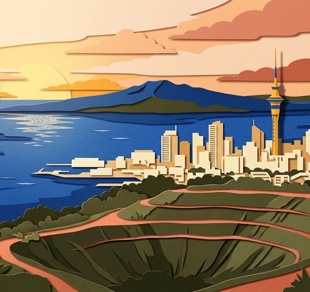
Maungawhau is a volcanic cone overlooking Auckland. Frame the city beyond the slopes for a photograph that puts the landscape and urban skyline together.
Search Google MapsRangitoto Island
Rangitoto Island’s volcanic cone rises from the harbour. Its silhouette makes a distinctive subject from the water, while the summit offers a broader perspective.
Search Google MapsBritomart
Britomart’s streets and buildings offer a central Auckland city scene. Look for a facade or a sequence of storefronts to anchor your composition.
Search Google MapsAchilles Point
Achilles Point overlooks the Hauraki Gulf. Use the headland as a foreground and leave room for the water and islands beyond in a wide landscape frame.
Search Google MapsTakapuna Beach
Takapuna Beach offers a view across the water towards Rangitoto Island. Include the sweep of the shoreline to connect the beach with the volcanic silhouette.
Search Google MapsPiha Beach and Lion Rock
At Piha, Lion Rock rises between stretches of dark sand. Use its outline as the centre of a coastal photograph with waves and beach around it.
Search Google MapsTakarunga / Mount Victoria
Takarunga in Devonport provides an elevated view over Auckland’s harbour. A wide frame can bring the water, the city and the surrounding land together.
Search Google MapsAuckland Domain Wintergardens
The Wintergardens in Auckland Domain bring glasshouses and planting together. Compose around the shapes of the glass structures or focus on the plants inside.
Search Google MapsKitekite Falls
Kitekite Falls near Piha adds a forest and waterfall subject to the Auckland region. Leave room around the falling water to show its green setting.
Search Google Maps