Banff, Alberta / 8 photo spots
8 Instagram spots around Banff, Alberta
Banff combines mountain views with a walkable town centre. This guide also includes lakes and viewpoints outside town in Banff National Park, including the Lake Minnewanka area. Allow time for separate journeys and check current park and trail conditions.
Explore the map
Photo spots on the map
0 of 8 photo ideas have sourced location coordinates. The initial view is for orientation. An area marker does not indicate an exact photo position.
Select a highlighted number to show its sourced location on the map. Every name links to the photo spot.
If the map does not load, use the OpenStreetMap link or the photo spot list.
Map data: © OpenStreetMap contributors, ODbL.
Destination reference: GeoNames (CC BY 4.0). Spot coordinates: Wikidata, CC0. Selection, association and some calculations by You, Me, Away.
Vermilion Lakes
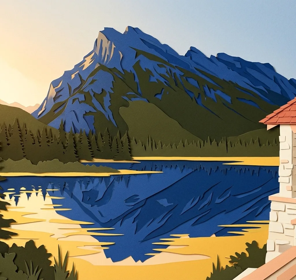
West of Banff, the Vermilion Lakes provide a foreground for Mount Rundle. If the water is calm, place the horizon higher in the frame to leave room for a reflection.
Search Google MapsFenland Loop
The Fenland Loop passes through old-growth spruce forest northwest of downtown Banff. Use the tree trunks to frame the trail, and watch for uneven ground and exposed roots.
Search Google MapsBanff Avenue
Cascade Mountain closes the view along Banff Avenue. From a safe place on the pavement, use the street and buildings as lines leading towards the mountain.
Search Google MapsCascade of Time Garden
Across the Bow River, the Cascade of Time Garden looks back towards town and Cascade Mountain. Include garden paths or the historic Parks Canada building in the foreground.
Search Google MapsBow Falls Viewpoint
The Bow River Trail leads to a viewpoint above Bow Falls. Frame the cascading water with the riverbank, and check trail conditions before setting out.
Search Google MapsSurprise Corner
Surprise Corner overlooks the Fairmont Banff Springs hotel and Bow Falls. Try a wide frame that leaves space for the wooded slopes around the hotel.
Search Google MapsHoodoos Viewpoint
At the viewpoint off Tunnel Mountain Road, rock pillars rise above the Bow River. Try a vertical composition that gives the formations space against the river backdrop.
Search Google MapsLake Minnewanka
The large Lake Minnewanka opens out beyond the town. A broad composition can show how the lake and the mountains fit together; check current parking and access information.
Search Google Maps