Bariloche / 9 photo spots
9 Instagram spots around Bariloche
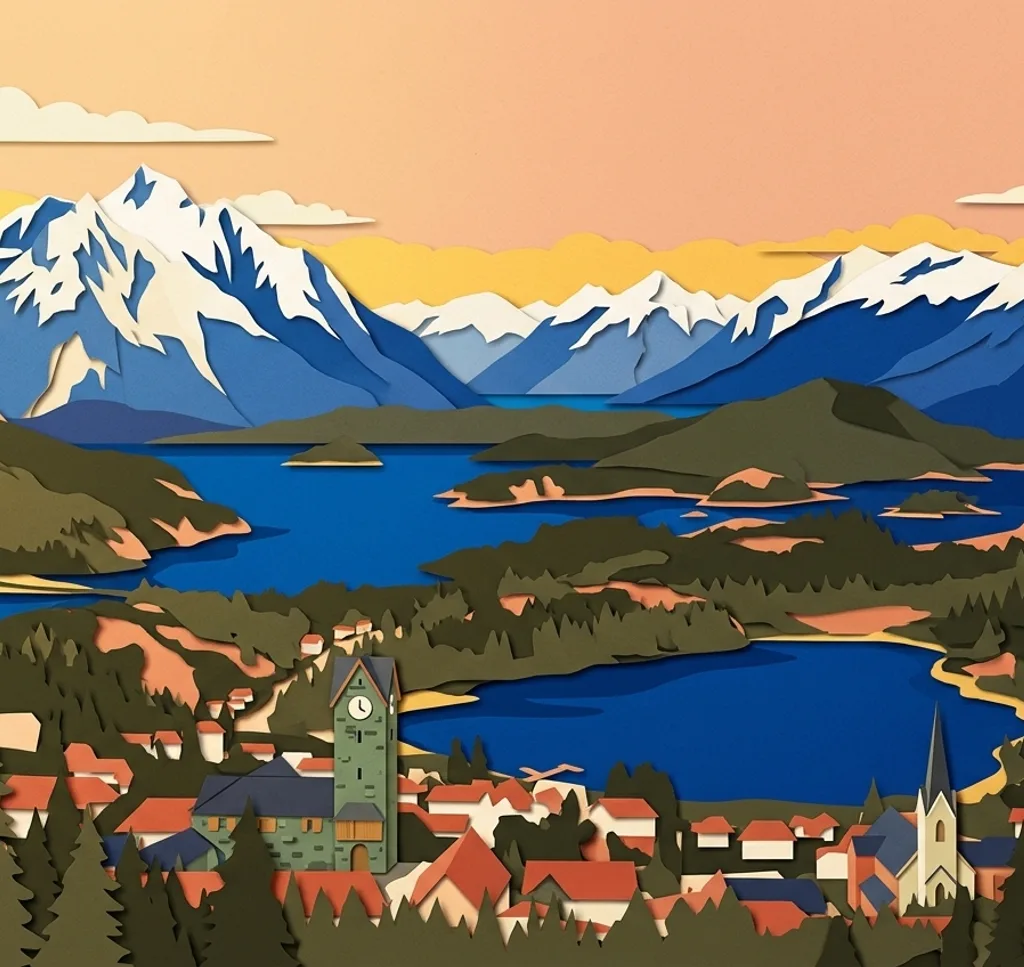
Bariloche pairs stone buildings by Lake Nahuel Huapi with beaches and viewpoints farther west on Circuito Chico. Conditions in the mountains can change, so check access before excursions. For organised filming or special photo productions, check the arrangements with the municipal Film Commission and the site operator.
Explore the map
Photo spots on the map
1 of 9 photo ideas has sourced location coordinates. The initial view is for orientation. An area marker does not indicate an exact photo position.
Select a highlighted number to show its sourced location on the map. Every name links to the photo spot.
If the map does not load, use the OpenStreetMap link or the photo spot list.
Map data: © OpenStreetMap contributors, ODbL.
Destination reference: GeoNames (CC BY 4.0). Spot coordinates: Wikidata, CC0. Selection, association and some calculations by You, Me, Away.
Centro Cívico
Stone and timber buildings frame the civic centre square. From the square, include a section of the buildings and Lake Nahuel Huapi beyond them.
Search Google MapsCatedral del Nahuel Huapi
The cathedral near the civic centre has a Gothic Revival exterior. From the public sidewalk, use a vertical frame to include the stone façade and tower.
Search Google MapsPlaya Bonita
This pebble beach west of the centre looks across Lake Nahuel Huapi towards several islands. Include a strip of pebbles in the foreground and keep a safe distance from the water.
Search Google MapsCerro Campanario
From the summit lookout, layer lakes and wooded peninsulas in a wide frame. The chairlift requires a ticket and may close for maintenance, so check its operation before travelling.
Search Google MapsCapilla San Eduardo
At Llao Llao, the stone steps lead the eye towards this small mountain chapel. Photograph the exterior from the accessible approach and respect any closures or services.
Search Google MapsPuerto Pañuelo
From the public area by this lake port, look towards the Llao Llao hotel and the mountains behind it. Keep the water in the lower part of the frame and stay out of operational areas.
Search Google MapsPunto Panorámico
The viewing deck on Circuito Chico looks over Lake Moreno and the Llao Llao peninsula. Use the deck for a wide landscape frame and stay behind its barriers.
Search Google MapsBahía López lookout
The lookout at Bahía López offers a view of the bay and the rocky mountains above it. Frame the water and slopes from the designated viewpoint, away from the road.
Search Google MapsPlaya Villa Tacul
This wooded lakeshore is a day use area in Llao Llao Municipal Park. From the beach, use the trees at the edge to frame the water. Check access and possible park entry fees in advance, and follow the marked paths.
Search Google MapsSources for these photo spots
- Bariloche Tourism, Centro Cívico and cathedral
- Bariloche Tourism, Lake Nahuel Huapi beaches
- Bariloche Tourism, Circuito Chico
- Bariloche Tourism, Cerro Campanario
- Bariloche Tourism, places of interest
- Bariloche Tourism, Puerto Pañuelo
- Río Negro Government, Punto Panorámico lookout
- Municipality of Bariloche, public lookouts
- Municipality of Bariloche, Llao Llao Municipal Park
- Cerro Campanario, information and fares
- Municipality of Bariloche, park entry services
- Municipality of Bariloche: Film permit