Bend, Oregon / 8 photo spots
8 Instagram spots around Bend, Oregon
Bend sits on the Deschutes River with high-desert and volcanic landscapes nearby. The list mixes city stops with separate trips to waterfalls and parks; road and trail access can change by season.
Explore the map
Photo spots on the map
0 of 8 photo ideas have sourced location coordinates. The initial view is for orientation. An area marker does not indicate an exact photo position.
Select a highlighted number to show its sourced location on the map. Every name links to the photo spot.
If the map does not load, use the OpenStreetMap link or the photo spot list.
Map data: © OpenStreetMap contributors, ODbL.
Destination reference: GeoNames (CC BY 4.0). Spot coordinates: Wikidata, CC0. Selection, association and some calculations by You, Me, Away.
Drake Park and Mirror Pond
Drake Park borders Mirror Pond in downtown Bend. Place the riverside trees at the edge of the frame and use the water to give the scene depth.
Search Google MapsOld Mill District Smokestacks
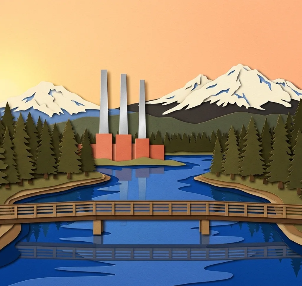
The tall smokestacks of a former sawmill’s powerhouse are a landmark of the district by the Deschutes. Use the riverfront as a foreground rather than photographing the stacks in isolation.
Search Google MapsBend Whitewater Park
At McKay Park, a pedestrian bridge looks over the engineered river channels. Photograph the lines of the water from the bridge and keep the protected habitat channel undisturbed.
Search Google MapsPilot Butte
Pilot Butte is a volcanic cinder cone within Bend. From its summit, compare a wide city view with a tighter frame of the Cascade mountains; vehicle access is seasonal.
Search Google MapsTumalo Falls
Tumalo Falls lies west of Bend in the Deschutes National Forest. Photograph from a designated viewpoint and check road conditions first: the final access road closes to vehicles in winter.
Search Google MapsBenham Falls
Benham Falls is a series of rapids along the Deschutes south of Bend. A longer frame can show both the current and the trees along the bank; stay on marked paths.
Search Google MapsLava Butte
Lava Butte and its lookout are part of Newberry National Volcanic Monument south of Bend. Use the volcanic terrain as a foreground and check seasonal visitor access before setting off.
Search Google MapsSmith Rock State Park
Smith Rock near Terrebonne is a separate trip from Bend, with cliffs above the Crooked River. Stay on established trails and check the park’s construction and closure notices before visiting.
Search Google MapsSources for these photo spots
- Visit Bend, parks in Bend
- Visit Bend, Old Mill District smokestacks
- Visit Bend, Deschutes and Whitewater Park
- Visit Bend, Tumalo Falls
- Visit Bend, waterfalls around Bend
- US Forest Service, Newberry National Volcanic Monument map
- Oregon State Parks, Smith Rock State Park
- Old Mill District, history of Bend’s sawmills