Bergen / 10 photo spots
10 Instagram spots around Bergen
Bergen combines harbour architecture with gardens, churches and viewpoints above the city. These ideas move between public streets, park paths and the waterfront.
Explore the map
Photo spots on the map
5 of 10 photo ideas have sourced location coordinates. The initial view is for orientation. An area marker does not indicate an exact photo position.
Select a highlighted number to show its sourced location on the map. Every name links to the photo spot.
If the map does not load, use the OpenStreetMap link or the photo spot list.
All photo spots
- NygårdsparkenApproximate area
- St Mary’s ChurchSourced place
- MarkenApproximate area
- Bergenhus FortressApproximate area
- Bergen CathedralSourced place
Map data: © OpenStreetMap contributors, ODbL.
Destination reference: GeoNames (CC BY 4.0). Spot coordinates: Wikidata, CC0. Selection, association and some calculations by You, Me, Away.
Bryggen wharf
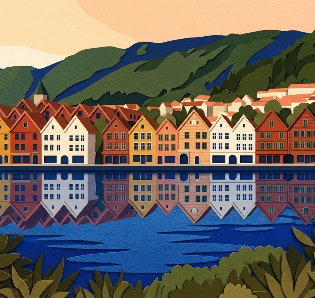
Bryggen’s wooden trading houses stand beside Bergen’s harbour. From the public quay, pick a few neighbouring gables and leave a little space between their rooflines and the sky.
Search Google MapsNygårdsparken
Nygårdsparken is a landscaped park with paths and a fountain pond. From a park path, use the curve of the water to lead the eye towards the surrounding trees.
Search Google MapsSt Mary’s Church
St Mary’s Church stands behind Bryggen and has two stone towers. Photograph the exterior from the surrounding street, keeping the towers together rather than including the full church.
Search Google MapsMarken
Marken is a pedestrian street near Bergen railway station with small shops. Look for repeating windows and signs along one side of the street, leaving the walkway clear.
Search Google MapsBergenhus Fortress
The outdoor grounds of Bergenhus hold stone buildings and fortifications near the harbour. Choose one wall or gateway as a foreground shape for the historic buildings beyond. Check the seasonal opening hours for the inner fortress and look for any event-related restrictions.
Search Google MapsMount Fløyen viewpoint
The viewpoint on Fløyen looks over Bergen and its surroundings. Try a horizontal frame with the city filling the lower part and the surrounding mountains forming the upper edge.
Search Google MapsThe Museum Garden
The University of Bergen’s Museum Garden contains trees, shrubs and a glasshouse. Use a path to lead towards a patch of foliage, and check the garden’s opening hours before you go.
Search Google MapsSkansedammen
Skansedammen is a shallow water feature in a small city space near the historic fire station. Look for a reflection of trees when the surface is calm, keeping the paved edge in the frame.
Search Google MapsBergen Cathedral
Bergen Cathedral faces Domkirkeplassen. From the square, frame a detail of the stone exterior and doorway without needing to enter the church.
Search Google MapsNordnesparken
Nordnesparken occupies the tip of the Nordnes peninsula and looks across the Byfjord. From a designated park viewpoint, use the shoreline to place the opposite shore in context.
Search Google MapsSources for these photo spots
- UNESCO World Heritage Centre: Bryggen
- Bergen Municipality: Nygårdsparken
- Visit Bergen: St Mary’s Church
- Visit Bergen: Marken pedestrian street
- Visit Bergen: Bergenhus Fortress
- Visit Bergen: Fløyen
- University of Bergen: Museum Garden
- Bergen Municipality: Skansedammen
- Visit Bergen: Bergen Cathedral
- Visit Norway: Walking in Bergen and Nordnesparken
- Visit Bergen: Districts and neighbourhoods in Bergen
- Forsvarsbygg: Bergenhus Fortress visitor information