Bordeaux / 10 photo spots
10 Instagram spots around Bordeaux
Bordeaux offers river views, stone gateways and gardens on both sides of the Garonne. These ideas focus on exterior details, public paths and the changing reflections by the river.
Explore the map
Photo spots on the map
1 of 10 photo ideas has sourced location coordinates. The initial view is for orientation. An area marker does not indicate an exact photo position.
Select a highlighted number to show its sourced location on the map. Every name links to the photo spot.
If the map does not load, use the OpenStreetMap link or the photo spot list.
Map data: © OpenStreetMap contributors, ODbL.
Destination reference: GeoNames (CC BY 4.0). Spot coordinates: Wikidata, CC0. Selection, association and some calculations by You, Me, Away.
Jardin Public
The Jardin Public combines a pond, mature trees and surrounding stone buildings. From a garden path, use a tree trunk at one side of the frame and the water beyond it to create layers.
Search Google MapsMiroir d’eau
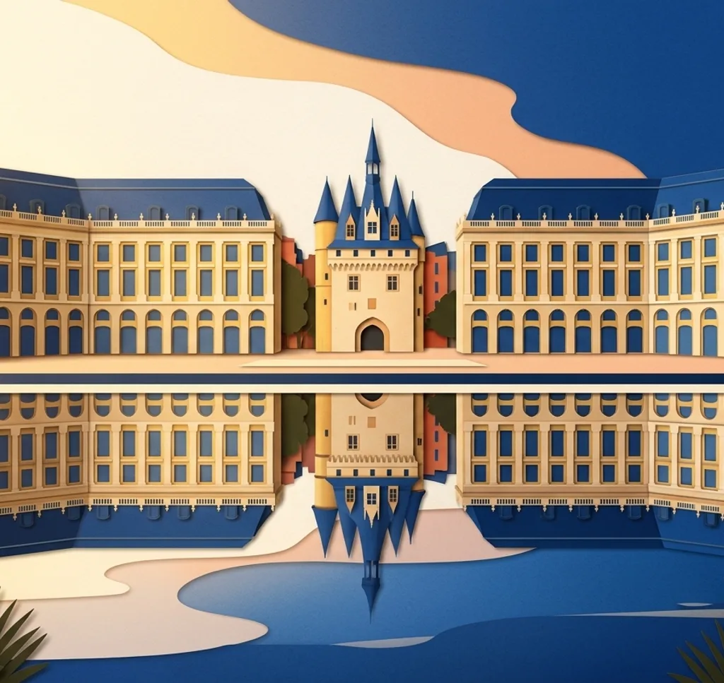
The Miroir d’eau sits on the Garonne side of Place de la Bourse. When the water is reflecting, include both the square’s façades and their reflection. The tourist office says the mirror is out of service for winter maintenance from November to April. Check the current dates before visiting.
Search Google MapsPorte Cailhau
The medieval Porte Cailhau stands by Place du Palais. From the square, compose the stone gateway with a little of the surrounding streetscape so its shape and setting remain clear.
Search Google MapsPont de Pierre
Pont de Pierre connects Bordeaux’s two banks across the Garonne. Photograph the repeating arches from a riverside path, using the river as the lower band and the bridge as the main line.
Search Google MapsGrosse Cloche
The Grosse Cloche is a historic gateway and belfry on Rue Saint-James. From the public street, frame the bell and clock within the stone façade. Allow other pedestrians room to pass.
Search Google MapsPlace du Parlement
A fountain stands in the middle of Place du Parlement among stone façades. Set the fountain slightly to one side of the photograph and use the surrounding square to show where it sits.
Search Google MapsSaint-André Cathedral
Saint-André Cathedral stands on Place Pey-Berland. Photograph a section of the exterior stonework from the square. Restoration work and construction fencing can affect views of the south-east side. The fencing is planned to remain until September 2027.
Search Google MapsCité du Vin exterior
The Cité du Vin has a curved exterior near the Garonne. From the riverside area, choose a close crop to show the building’s shape and surface.
Search Google MapsJardin Botanique de Bordeaux
The botanical garden in La Bastide includes a large pond for aquatic plants. Follow a garden path and frame the water with planting at the edge. Check garden opening times before your visit.
Search Google MapsPlace des Quinconces
The Place des Quinconces includes the Monument aux Girondins and a broad esplanade. Try a vertical frame that shows the column with some space around its base. Events can change the open view.
Search Google MapsSources for these photo spots
- Bordeaux Tourism, Public Garden
- Bordeaux Tourism, Water Mirror
- Bordeaux Tourism, Porte Cailhau
- Bordeaux Tourism, Pont de Pierre
- Bordeaux Tourism, Grosse Cloche
- Bordeaux Tourism, Port de la Lune heritage route
- Bordeaux Tourism, Saint-André Cathedral
- Bordeaux Tourism, Cité du Vin
- City of Bordeaux, Jardin botanique
- City of Bordeaux, Place des Quinconces
- Bordeaux Tourism, accessible quays route
- Bordeaux Tourism, Miroir d’eau and Place de la Bourse
- French Ministry of Culture: Saint-André Cathedral construction fencing