Bremen / 9 photo spots
9 Instagram spots around Bremen
Bremen’s old town sits close to the Weser, with brick lanes, riverside views and green spaces within reach of the centre.
Explore the map
Photo spots on the map
5 of 9 photo ideas have sourced location coordinates. The initial view is for orientation. An area marker does not indicate an exact photo position.
Select a highlighted number to show its sourced location on the map. Every name links to the photo spot.
If the map does not load, use the OpenStreetMap link or the photo spot list.
All photo spots
- DomshofApproximate area
- SchnoorApproximate area
- BöttcherstraßeApproximate area
- SchlachteApproximate area
- TeerhofApproximate area
Map data: © OpenStreetMap contributors, ODbL.
Destination reference: GeoNames (CC BY 4.0). Spot coordinates: Wikidata, CC0. Selection, association and some calculations by You, Me, Away.
Bremen Marktplatz
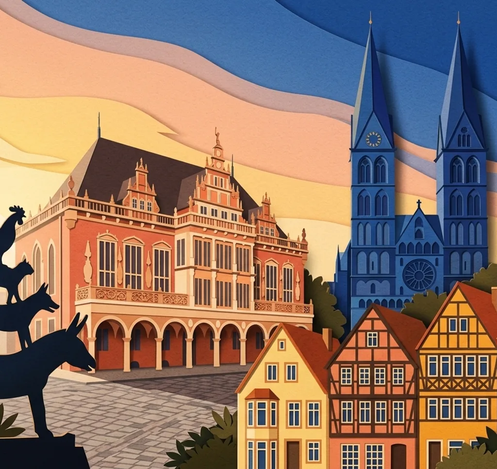
The Marktplatz brings Bremen Town Hall and the Roland statue together. From the square, place the statue against the decorated town hall facade.
Search Google MapsBremen Town Musicians
The bronze Town Musicians stand at the west side of the town hall. From the public pavement, photograph the four animals as a vertical stack.
Search Google MapsDomshof
The St. Petri Cathedral borders the south side of Domshof. From the square, include its exterior with some of the surrounding buildings to show the contrast in architecture.
Search Google MapsSchnoor
In the Schnoor quarter, narrow public lanes wind between small houses. Compose along a lane and leave space for residents and other visitors to pass.
Search Google MapsBöttcherstraße
Walk through Böttcherstraße between Marktplatz and Martinistraße to find its brick facades. Use the pedestrian passage to frame a section of the architecture.
Search Google MapsSchlachte
The Schlachte promenade runs beside the Weser and its moored vessels. From an open part of the riverside path, include the water and opposite bank. Check local warnings if water levels are high.
Search Google MapsTeerhof
From the publicly accessible Teerhof, look across the Weser towards the Schlachte. Use the opposite waterfront as a long horizontal band in your picture.
Search Google MapsMühle am Wall
The windmill stands in Bremen’s Wallanlagen. From a park path, include the mill and the planted beds in front when they are in bloom.
Search Google MapsMelchersbrücke
Melchersbrücke in Bürgerpark has views towards the Park Hotel and the Meierei. Choose one direction from the bridge for a view along the water. Professional photo or film work requires a paid permit from park management.
Search Google MapsSources for these photo spots
- Bremen Tourism: Marktplatz
- Bremen Tourism: self-guided old town walk
- Bremen heritage office: Domshof
- Bremen Tourism: sights
- Bremen Tourism: Böttcherstraße
- Bremen Tourism: Schlachte and Teerhof walk
- Bremen Tourism: Schlachte
- Bremen environment department: flood information
- Bremen Tourism: riverside walk
- Bremen Tourism: Mühle am Wall
- Bremen city portal: Wallanlagen
- Bremen Tourism: city views
- Bürgerpark management: park rules
- Bürgerpark management: photo and film rules
- Bremen Tourism: view from Teerhof