Bridgetown, Barbados / 9 photo spots
9 Instagram spots around Bridgetown, Barbados
Bridgetown’s waterfront, public squares and historic churches sit close to Carlisle Bay. The Garrison and Hastings boardwalk make separate stops outside the centre. Avoid isolated areas after dark.
Explore the map
Photo spots on the map
0 of 9 photo ideas have sourced location coordinates. The initial view is for orientation. An area marker does not indicate an exact photo position.
Select a highlighted number to show its sourced location on the map. Every name links to the photo spot.
If the map does not load, use the OpenStreetMap link or the photo spot list.
Map data: © OpenStreetMap contributors, ODbL.
Destination reference: GeoNames (CC BY 4.0). Spot coordinates: Wikidata, CC0. Selection, association and some calculations by You, Me, Away.
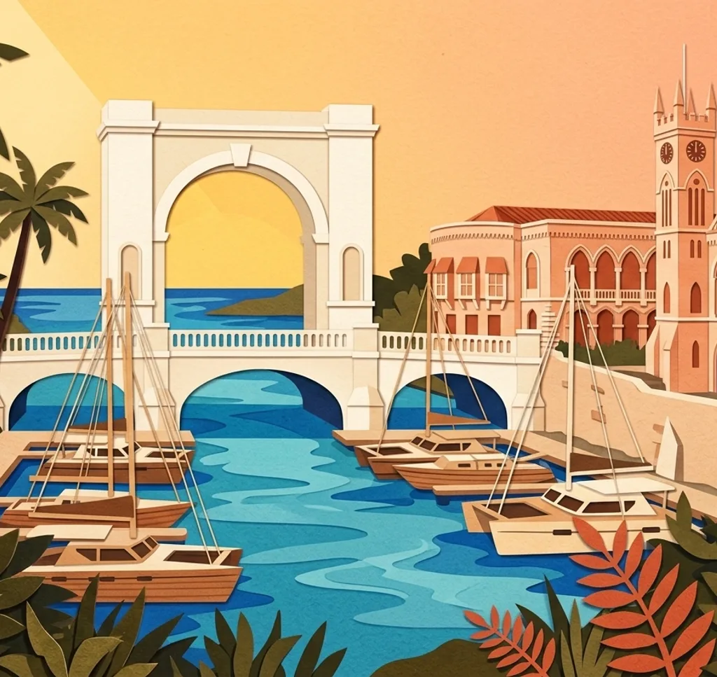
Chamberlain Bridge and Independence Arch
The pedestrian bridge crosses the Careenage beside Independence Arch. From an open approach, frame the arch with part of the bridge and leave room for people crossing.
Search Google MapsIndependence Square Bridgetown
From the waterside edge of Independence Square, frame the Careenage and boats across the harbour. The statue of Errol Barrow gives you a separate portrait subject within the square.
Search Google MapsNational Heroes Square Bridgetown
The Dolphin Fountain stands in National Heroes Square. From the public square, isolate the fountain’s sculptural details while leaving space around the nearby memorial.
Search Google MapsSt Michael’s Cathedral Bridgetown
Photograph the stone church exterior from the public approach on St Michael’s Row. Respect worshippers and ask before taking photos inside.
Search Google MapsQueen’s Park Baobab Bridgetown
Queen’s Park has a large baobab tree. Use an open park path to show the breadth of its trunk, without climbing on the tree.
Search Google MapsChurch Village Green Bridgetown
At Church Village Green, a small bridge crosses a pond near Queen’s Park. Frame the bridge from a public path and keep the crossing clear.
Search Google MapsBrownes Beach Barbados
Brownes Beach lies on Carlisle Bay, south of the centre. From the sand, include the curve of the shoreline and the water. Visit in daylight and leave other beachgoers out of close shots.
Search Google MapsGeorge Washington House Barbados
In the Garrison area, the historic house and garden are part of a museum visit. From the visitor grounds, frame the house with its garden. Admission is charged. Confirm opening times and photo conditions with the museum.
Search Google MapsRichard Haynes Boardwalk
The coastal boardwalk in Hastings is outside central Bridgetown. From an open section of the walkway, frame the shoreline and water. Follow any barriers and leave space for walkers.
Search Google MapsSources for these photo spots
- Barbados Tourism Marketing, Bridgetown landmarks and public spaces
- Barbados Tourism Marketing, National Heroes Square
- Barbados Tourism Marketing, religious heritage in Bridgetown
- Barbados Tourism Marketing, baobab trees
- Barbados Tourism Marketing, Brownes Beach
- George Washington House and Museum, visitor information
- George Washington House and Museum, visitor page
- Barbados Tourism Marketing, Richard Haynes Boardwalk
- Government of Barbados, boardwalk repairs July 2026
- UK FCDO, Barbados safety and security