Brisbane / 10 photo spots
10 Instagram spots around Brisbane
Brisbane's riverside paths, garden collections, city landmarks and bayside heritage offer a range of settings. These ideas focus on named public viewpoints and simple compositions you can adapt to the light.
Explore the map
Photo spots on the map
3 of 10 photo ideas have sourced location coordinates. The initial view is for orientation. An area marker does not indicate an exact photo position.
Select a highlighted number to show its sourced location on the map. Every name links to the photo spot.
If the map does not load, use the OpenStreetMap link or the photo spot list.
All photo spots
- City Botanic GardensApproximate area
- New Farm ParkApproximate area
- Roma Street ParklandApproximate area
Map data: © OpenStreetMap contributors, ODbL.
Destination reference: GeoNames (CC BY 4.0). Spot coordinates: Wikidata, CC0. Selection, association and some calculations by You, Me, Away.
Wilson Outlook Reserve
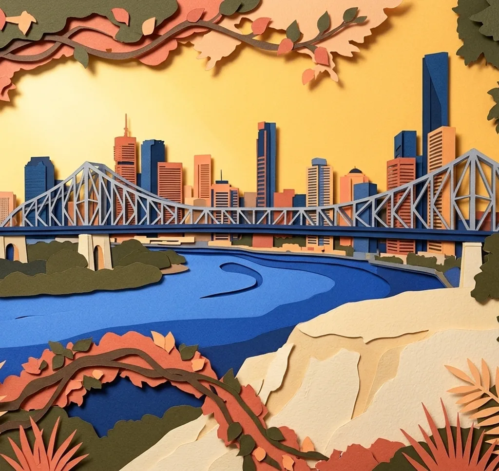
From the public viewing fence at Wilson Outlook Reserve, photograph the Story Bridge above the Brisbane River. Let the span run diagonally across the frame, with water below and the city skyline along the opposite bank.
Search Google MapsKangaroo Point Cliffs Park
From the upper-level public path, photograph across the Brisbane River towards the CBD. Keep the cliff face out of the foreground, using the water as a low band and the skyline beyond as the subject.
Search Google MapsSouth Bank Promenade
Follow the public promenade between the Cultural Forecourt and River Quay. Set the camera low enough to use its paving as a leading line, then leave space beyond it for the river and the opposite bank.
Search Google MapsBrisbane City Hall and King George Square
From King George Square, step back until City Hall's clock tower and sandstone façade fit together. Include part of the square in the lower frame so the civic building reads in its public setting.
Search Google MapsMt Coot-tha Lookout
From the designated lookout, build a wide frame from Brisbane's skyline towards the distant coast. Keep the camera level and use the horizon to separate the city from Moreton Bay beyond.
Search Google MapsJapanese Garden at Brisbane Botanic Gardens Mt Coot-tha
On the garden paths, compose a small scene that layers stone, water and vegetation. Let a path or arbour enter from one edge to show the Japanese Garden’s structure without crowding the frame or stepping into planted areas.
Search Google MapsCity Botanic Gardens
Choose a public path near one of the lily ponds and use the water as a quiet foreground for the garden’s established trees. A vertical frame can contrast the pond’s open surface with the canopy above.
Search Google MapsNew Farm Park
Use the Edwardian rotunda as a focal point, then step back to include a slice of the rose beds in front. Framing through the park’s open lawn gives the bandstand more context than a tight portrait.
Search Google MapsRoma Street Parkland
At the park’s lake, frame the water through the surrounding landscape beds rather than filling the shot with lawn. From a path, include one curve of the shoreline to give the composition depth.
Search Google MapsShorncliffe Pier
From the public foreshore path, align the timber pier so its supports lead out towards Bramble Bay. Keep the shot on the path and pier entrance, letting the open water create a simple horizon beyond.
Search Google MapsSources for these photo spots
- Wilson Outlook Reserve | Brisbane City Council
- Kangaroo Point parks | Brisbane City Council
- Where to go walking and hiking in Brisbane | Brisbane City Council
- Brisbane City Hall and King George Square | Brisbane City Council
- Mt Coot-tha precinct | Brisbane City Council
- Events and attractions | Brisbane Botanic Gardens Mt Coot-tha
- City Botanic Gardens | Brisbane City Council
- New Farm Park | Brisbane City Council
- Bramble Bay Foreshores heritage place | Brisbane City Council
- A day out with Brisbane Metro | Brisbane City Council