Bristol / 10 photo spots
10 Instagram spots around Bristol
Bristol combines its harbor with historic streets and hilltop views. These ideas use public paths and exterior viewpoints. Bristol Film Office requires a permit for commercial photography or filming for broadcast or public viewing on council-managed land, including parks, the harborside and public highways. For personal photos, follow any local site rules.
Explore the map
Photo spots on the map
5 of 10 photo ideas have sourced location coordinates. The initial view is for orientation. An area marker does not indicate an exact photo position.
Select a highlighted number to show its sourced location on the map. Every name links to the photo spot.
If the map does not load, use the OpenStreetMap link or the photo spot list.
All photo spots
- Clifton Suspension BridgeSourced place
- Brandon HillApproximate area
- Bristol CathedralSourced place
- Christmas StepsApproximate area
- Royal York CrescentApproximate area
Map data: © OpenStreetMap contributors, ODbL.
Destination reference: GeoNames (CC BY 4.0). Spot coordinates: Wikidata, CC0. Selection, association and some calculations by You, Me, Away.
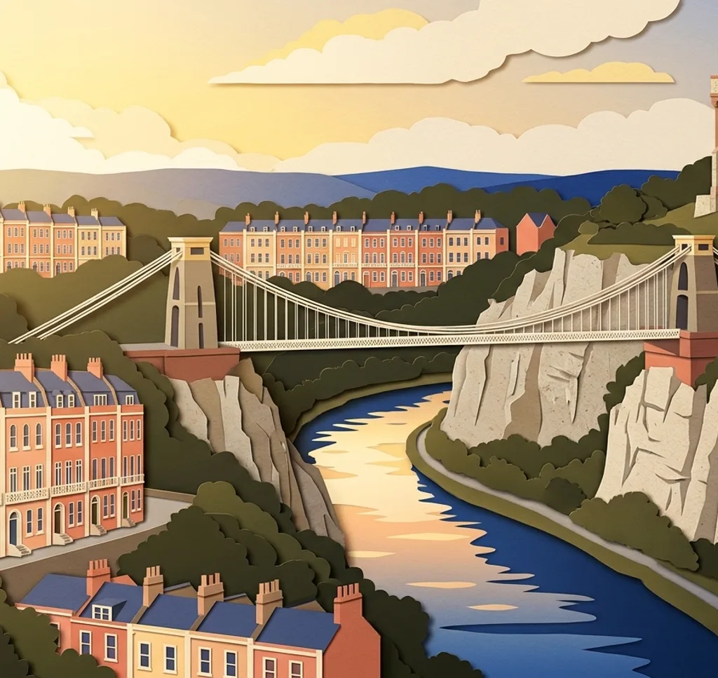
Clifton Suspension Bridge
From the public paths on Observatory Hill, frame the suspension bridge against the Avon Gorge. Stay on the paths and away from the cliff edge.
Search Google MapsBrandon Hill
From a path in Brandon Hill park, photograph Cabot Tower with trees in the foreground. The tower is temporarily closed, so check its status before planning a climb.
Search Google MapsBristol Cathedral
From College Green, use the open lawn to frame the cathedral exterior. Leave space around the building for a wider architectural view.
Search Google MapsCastle Park
In Castle Park, frame the roofless remains of St Peter’s Church from a public path. The church ruins themselves are closed to visitors.
Search Google MapsM Shed Cranes
On the harbourside path outside M Shed, use the old cargo cranes as tall shapes against the sky. Keep the waterfront path clear for others.
Search Google MapsThe Matthew
When The Matthew is at its usual berth by Princes Wharf, photograph the replica ship from the quayside. Include the masts and rigging. The ship may be away for sailing or winter maintenance, so check ahead.
Search Google MapsBaltic Wharf
From the harbourside path at Baltic Wharf, look across the water towards the colorful houses of Cliftonwood. Use the water as a calm foreground and respect the residents’ privacy.
Search Google MapsChristmas Steps
Photograph the historic shopping street along Christmas Steps from the steps themselves. Aim along the rising street and leave room for people passing.
Search Google MapsCorn Exchange
On Corn Street, photograph the facade of the Corn Exchange and the old trading tables outside. Choose a position on the pavement and keep market entrances clear.
Search Google MapsRoyal York Crescent
Walk along Royal York Crescent in Clifton and use the curve of the terrace to lead the eye through the frame. Photograph from the pavement and respect the homes.
Search Google MapsSources for these photo spots
- Visit Bristol: Visitor FAQs and Observatory Hill viewpoint
- Bristol City Council: Brandon Hill and Cabot Tower
- Bristol City Council: College Green
- Bristol City Council: City Hall and cathedral backdrop
- Visit Bristol: Castle Park and St Peter’s Church
- Visit Bristol: The story of M Shed
- Visit Bristol: Harbourside walking route
- Visit Bristol: The Matthew at Princes Wharf
- Visit Bristol: Cliftonwood from Baltic Wharf
- Visit Bristol: Christmas Steps
- Visit Bristol: Corn Street and the Exchange
- Visit Bristol: Clifton and Royal York Crescent
- The Matthew of Bristol: Visitor FAQs
- The Matthew of Bristol: Winter maintenance
- Bristol Film Office: Filming permission