Brussels / 10 photo spots
10 Instagram spots around Brussels
Brussels rewards a closer look at its squares, parks and architectural details. These ten ideas pair familiar landmarks with quieter outdoor views across different parts of the city.
Explore the map
Photo spots on the map
4 of 10 photo ideas have sourced location coordinates. The initial view is for orientation. An area marker does not indicate an exact photo position.
Select a highlighted number to show its sourced location on the map. Every name links to the photo spot.
If the map does not load, use the OpenStreetMap link or the photo spot list.
All photo spots
- Grand-PlaceApproximate area
- Cinquantenaire ParkApproximate area
- Royal Palace of BrusselsSourced place
- Brussels ParkApproximate area
Map data: © OpenStreetMap contributors, ODbL.
Destination reference: GeoNames (CC BY 4.0). Spot coordinates: Wikidata, CC0. Selection, association and some calculations by You, Me, Away.
Grand-Place
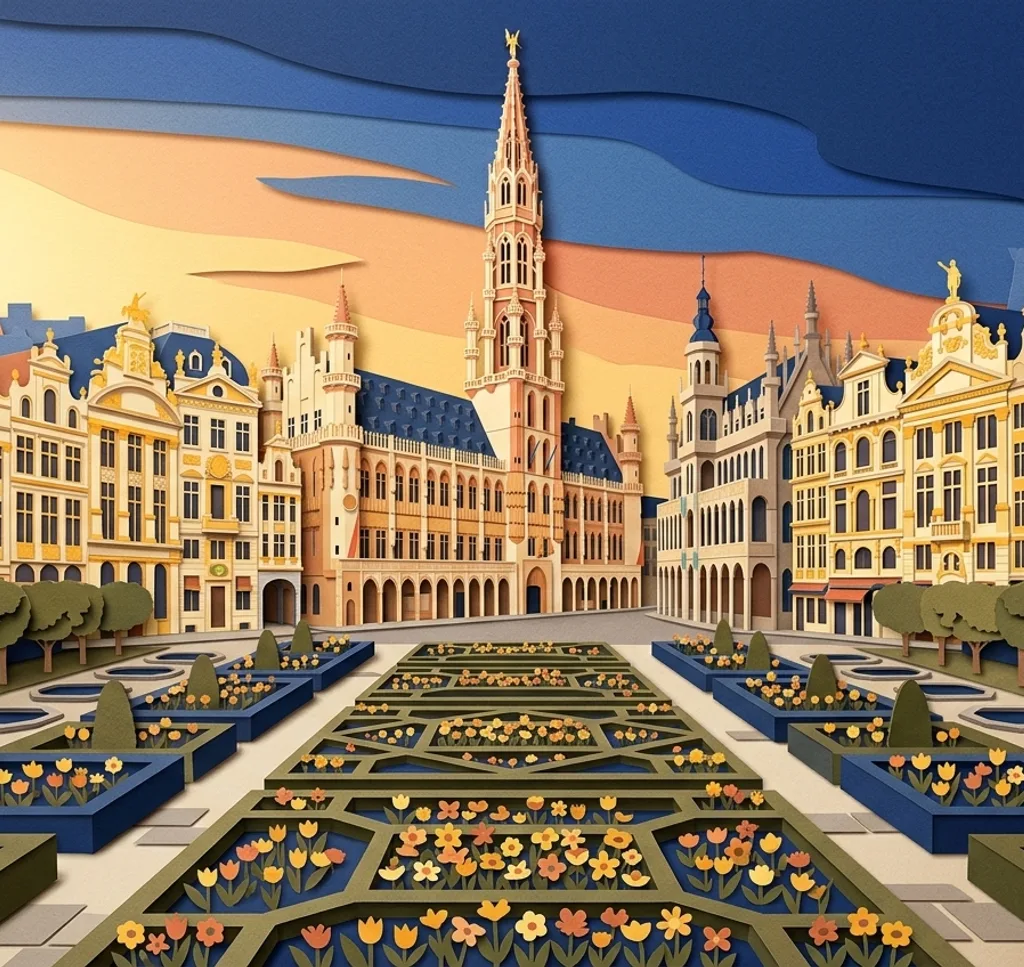
The Grand-Place is surrounded by the City Hall, the King’s House and guild houses. From the square, select a few adjoining facades and let the paving anchor the lower edge. The city museum plans work on the roof and upper facade of the King’s House from March 2027.
Search Google MapsMont des Arts Garden
The Mont des Arts garden links the upper and lower city. From a public path, place its planted shapes in the foreground and use the change in level to give the picture depth.
Search Google MapsCinquantenaire Park
Cinquantenaire Park has wide paths leading towards its three-arched monument. Compose from a park path so the arch sits between the surrounding greenery.
Search Google MapsBois de la Cambre
The Bois de la Cambre is a wooded park with a lake and an island. From the lakeside path, use trees at the edge of the frame to surround a view across the water.
Search Google MapsSt Michael and St Gudula Cathedral square
The square in front of the cathedral has trees and seating. Use a tree at the edge of your frame to soften a view of the church facade.
Search Google MapsNotre-Dame du Sablon
Notre-Dame du Sablon is a Gothic church in the Sablon district. From the street outside, look for the contrast between its tall stone windows and the surrounding buildings.
Search Google MapsOld England building at the Musical Instruments Museum
The former Old England department store now houses part of the Musical Instruments Museum. From the pavement on Montagne de la Cour, photograph the Art Nouveau entrance and ironwork as an architectural detail.
Search Google MapsRoyal Palace of Brussels
The Royal Palace faces Place des Palais, opposite Brussels Park. From the pavement at Place des Palais, use a wide frame to include the central facade and part of a side wing.
Search Google MapsBrussels Park
Brussels Park has broad avenues and a large pond between the Royal Palace and parliament. From a path, use the avenue to lead into the scene and keep the pond as a secondary detail.
Search Google MapsSt Catherine’s Church
St Catherine’s Church stands beside Place Sainte-Catherine. From the surrounding public space, isolate part of the church facade and leave the adjoining square visible for context.
Search Google MapsSources for these photo spots
- City of Brussels: Grand-Place
- Visit Brussels: Mont des Arts Garden
- Visit Brussels: Cinquantenaire Park
- Visit Brussels: Bois de la Cambre
- Visit Brussels: Cathedral square
- Visit Brussels: Notre-Dame du Sablon
- Visit Brussels: Musical Instruments Museum
- Visit Brussels: Royal Palace
- Visit Brussels: Brussels Park
- Visit Brussels: Église Sainte-Catherine
- Brussels City Museum: Maison du Roi restoration