Byron Bay / 8 photo spots
8 Instagram spots around Byron Bay
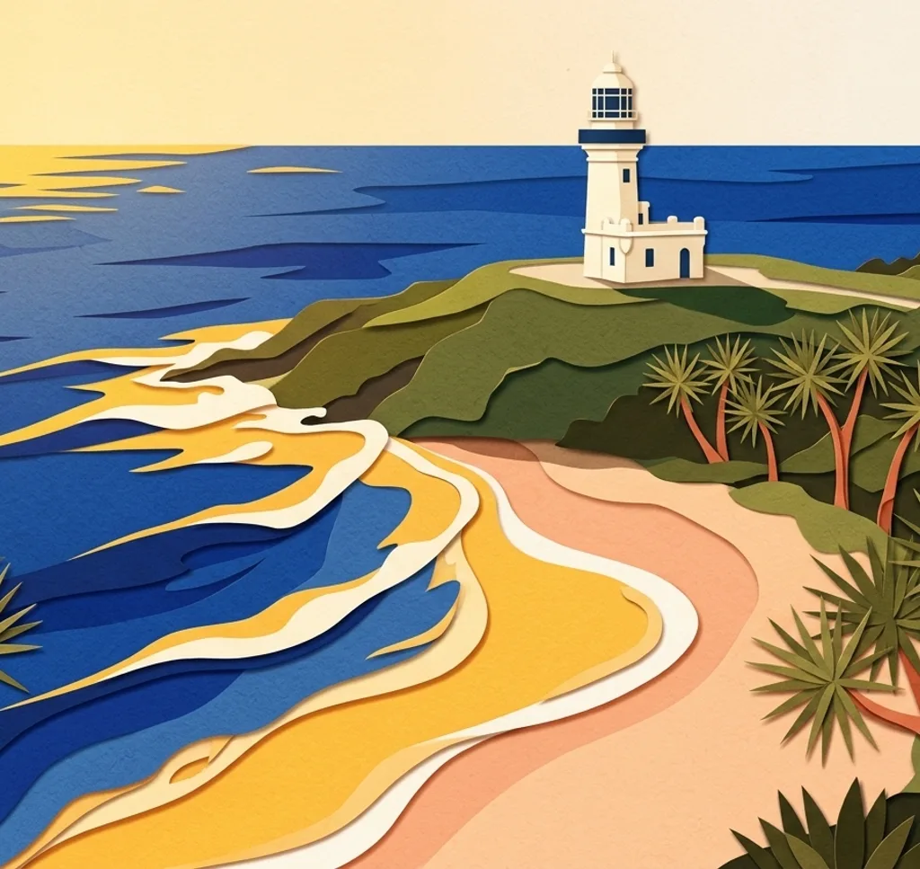
Byron Bay on the north coast of New South Wales combines long beaches with the headland and lighthouse at Cape Byron. These places offer different coastal perspectives around town.
Explore the map
Photo spots on the map
0 of 8 photo ideas have sourced location coordinates. The initial view is for orientation. An area marker does not indicate an exact photo position.
Select a highlighted number to show its sourced location on the map. Every name links to the photo spot.
If the map does not load, use the OpenStreetMap link or the photo spot list.
Map data: © OpenStreetMap contributors, ODbL.
Destination reference: GeoNames (CC BY 4.0). Spot coordinates: Wikidata, CC0. Selection, association and some calculations by You, Me, Away.
Cape Byron Lighthouse
The white lighthouse stands above the coastal headland. Include the surrounding path or the horizon to give the tower a sense of place.
Search Google MapsFishermans Lookout
At The Pass, Fishermans Lookout provides a raised view of the shore. Use the curve of the beach to lead the eye into the frame.
Search Google MapsWategos Beach
Wategos lies on the northern side of the Cape Byron headland. Frame the sheltered bay with the green slopes behind it.
Search Google MapsLittle Wategos Beach
Little Wategos is reached on foot from the path toward the lighthouse. A wider frame can show the small beach beneath the headland; check park access before setting out.
Search Google MapsClarkes Beach
Clarkes Beach stretches east from Byron Bay town toward The Pass. Look along the shoreline for a composition with the headland in the distance.
Search Google MapsMain Beach
Main Beach sits beside the town centre. Use the meeting of sand and water as a simple foreground for a wide bay view.
Search Google MapsBelongil Beach
Belongil Beach extends north from Main Beach toward the creek mouth. Walk a short distance along the sand to vary the balance between beach, sea and sky.
Search Google MapsTallow Beach
Tallow Beach runs south of the Cape Byron headland. Place the long sweep of sand in the foreground and leave space for the coastline beyond.
Search Google Maps