Cairns / 8 photo spots
8 Instagram spots around Cairns
Cairns in tropical North Queensland offers city gardens, coastal promenades and rainforest trips inland. In crocodile country stay out of natural water and more than five metres from its edge. Check weather and closures, and ask the relevant authority about commercial shoots.
Explore the map
Photo spots on the map
1 of 8 photo ideas has sourced location coordinates. The initial view is for orientation. An area marker does not indicate an exact photo position.
Select a highlighted number to show its sourced location on the map. Every name links to the photo spot.
If the map does not load, use the OpenStreetMap link or the photo spot list.
Map data: © OpenStreetMap contributors, ODbL.
Destination reference: GeoNames (CC BY 4.0). Spot coordinates: Wikidata, CC0. Selection, association and some calculations by You, Me, Away.
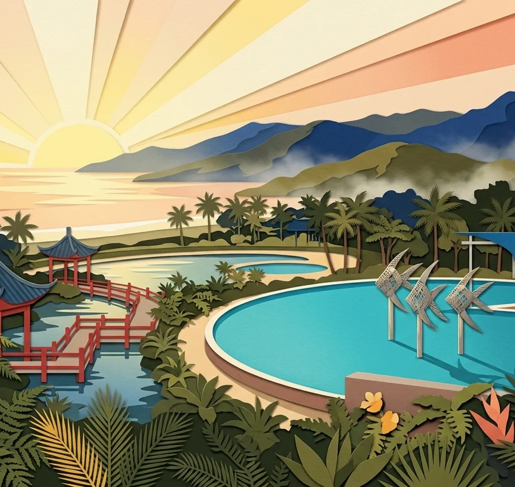
Cairns Esplanade Lagoon
From the promenade beside the lagoon, frame the Woven Fish sculptures against the sky. Keep the walkway clear and respect other visitors’ privacy.
Search Google MapsCairns Botanic Gardens
In Flecker Garden, follow the paths through tropical plant collections and use the foliage to frame a garden scene. Check the garden’s opening hours and weather conditions.
Search Google MapsZhanjiang Friendship Garden Cairns
At the Chinese friendship garden in the Centenary Lakes precinct, photograph the decorated entrance pillars from the garden path. Keep more than five metres from the lake edge.
Search Google MapsCattana Wetlands
At this conservation park north of Cairns, the boardwalk passes through feather palm forest. Photograph the palms only where the path is dry and more than five metres from water. Leave after flooding or if access is closed.
Search Google MapsDin Din Barron Falls Lookout
Near Kuranda, the elevated track leads through rainforest to a lookout over Barron Falls. The track and day-use area are scheduled to close from 23 November to 4 December 2026. Check the park alert before travelling.
Search Google MapsPalm Cove Esplanade
Palm Cove is a trip north of Cairns. From Williams Esplanade, frame the palms and shoreline, with the jetty in the distance. Stay on the promenade away from the water.
Search Google MapsMunro Martin Parklands
Walk beneath the vine-covered arbours in this city park and use the repeating supports to frame the greenery. Check access before visiting because ticketed events can close the park.
Search Google MapsCairns Art Gallery
From the public footpath at Shields and Abbott streets, photograph the heritage gallery building. Include architectural details of the facade in your composition.
Search Google MapsSources for these photo spots
- Cairns Regional Council, Esplanade public art
- Cairns Regional Council, Lagoon reopening
- Cairns Regional Council, Botanic Gardens opening
- Cairns Regional Council, garden collections
- Cairns Regional Council, Zhanjiang Friendship Garden
- Cairns Regional Council, Cattana Wetlands
- Queensland Parks, Din Din Barron Falls lookout track
- Queensland Parks, Din Din closure notice
- Queensland Parks, Barron Gorge safety
- Cairns Regional Council, Palm Cove foreshore
- Cairns Regional Council, northern beaches
- Cairns Regional Council, Munro Martin Parklands
- Cairns Regional Council, Cairns Art Gallery Precinct
- Queensland Government, Be Crocwise
- Cairns Regional Council, filming and photography
- Cairns Art Gallery, building history
- Cairns Regional Council, Woven Fish public artwork
- Friends of the Cairns Botanic Gardens, Flecker Garden
- Cairns Regional Council, Zhanjiang Friendship Garden
- Treadwell, Cattana Wetlands site study
- Surf Life Saving Queensland, Palm Cove
- Australian Institute of Landscape Architects, Munro Martin Parklands
- Queensland Parks, filming and photography permit finder