Calgary / 10 photo spots
10 Instagram spots around Calgary
River pathways, public art and skyline overlooks give Calgary a broad mix of urban photo settings. This guide focuses on spots within the city.
Explore the map
Photo spots on the map
4 of 10 photo ideas have sourced location coordinates. The initial view is for orientation. An area marker does not indicate an exact photo position.
Select a highlighted number to show its sourced location on the map. Every name links to the photo spot.
If the map does not load, use the OpenStreetMap link or the photo spot list.
All photo spots
- Peace BridgeSourced place
- Studio BellSourced place
- Scotsman’s HillApproximate area
- Sien Lok ParkApproximate area
Map data: © OpenStreetMap contributors, ODbL.
Destination reference: GeoNames (CC BY 4.0). Spot coordinates: Wikidata, CC0. Selection, association and some calculations by You, Me, Away.
Peace Bridge
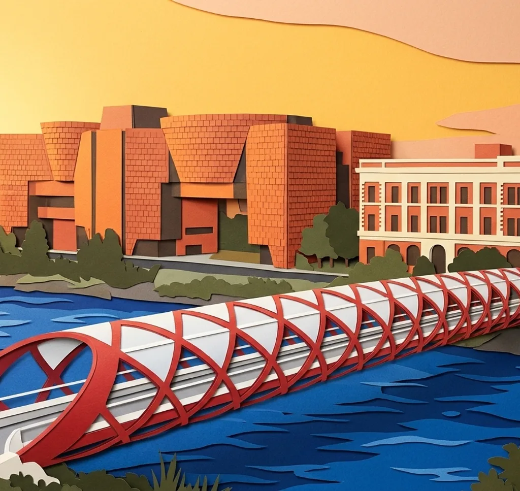
The Peace Bridge crosses the Bow River between downtown and Sunnyside. From either riverbank path, frame its red tubular arches against the water, then step back for a wider view with the Calgary skyline.
Search Google MapsSimmons Building
The restored 1912 bedding factory sits in East Village near the Bow River. From Confluence Way, photograph its brick facade and faded lettering to bring the building’s industrial past into the frame.
Search Google MapsStudio Bell
Studio Bell, home of the National Music Centre, forms a gateway into East Village with an arch over a neighbourhood entrance. From the public approach, photograph its layered exterior to show the instrument-inspired architecture.
Search Google MapsBloom Sculpture
Michel de Broin’s Bloom stands on St. Patrick’s Island and is a popular landmark for park visitors. From an island path, photograph the sculpture against the open sky in the softer evening light.
Search Google MapsWonderland Sculpture
The Wonderland sculpture stands at the base of The Bow tower in downtown Calgary. From the plaza, frame its oversized head shape against the glass tower to layer public art with the skyline.
Search Google MapsGalleria Trees on Stephen Avenue
Stephen Avenue’s pedestrian mall includes the Galleria Trees, ten metal sculptures between 2nd and 3rd Streets. Photograph along the avenue at street level, letting the repeated forms lead toward the downtown facades.
Search Google MapsScotsman’s Hill
Scotsman’s Hill in Ramsay is a recognized overlook for the Saddledome, Stampede grounds and central skyline. Follow the ridge and choose a wide composition that places the arena beneath Calgary’s downtown towers.
Search Google MapsCrescent Heights Lookout
Crescent Heights in northwest Calgary is one of the city’s established skyline viewpoints. From Crescent Road, photograph the downtown towers in a wide frame against the open prairie sky.
Search Google MapsSt. Patrick’s Island Rise
St. Patrick’s Island connects to the East Village RiverWalk by the George C. King Bridge. Its rise offers broad city views, so frame the Bow River and downtown buildings in layers from the park.
Search Google MapsSien Lok Park
Sien Lok Park sits beside Calgary’s Bow River pathway, with a Chinese gazebo, paired stone lions and the In Search of Gold Mountain sculpture. Photograph the artwork from the path with the river setting nearby.
Search Google Maps