Cambridge / 10 photo spots
10 Instagram spots around Cambridge
Cambridge in England has college architecture, riverside paths and green spaces within walking distance of the center. College grounds have their own visitor rules.
Explore the map
Photo spots on the map
5 of 10 photo ideas have sourced location coordinates. The initial view is for orientation. An area marker does not indicate an exact photo position.
Select a highlighted number to show its sourced location on the map. Every name links to the photo spot.
If the map does not load, use the OpenStreetMap link or the photo spot list.
All photo spots
- King’s College ChapelSourced place
- Mathematical BridgeSourced place
- Fitzwilliam MuseumSourced place
- Jesus GreenApproximate area
- Parker’s PieceApproximate area
Map data: © OpenStreetMap contributors, ODbL.
Destination reference: GeoNames (CC BY 4.0). Spot coordinates: Wikidata, CC0. Selection, association and some calculations by You, Me, Away.
King’s College Chapel
From the pavement on King’s Parade, photograph King’s College Chapel and its stonework. A slightly wider frame gives the tall building room without stepping into the road.
Search Google MapsMathematical Bridge
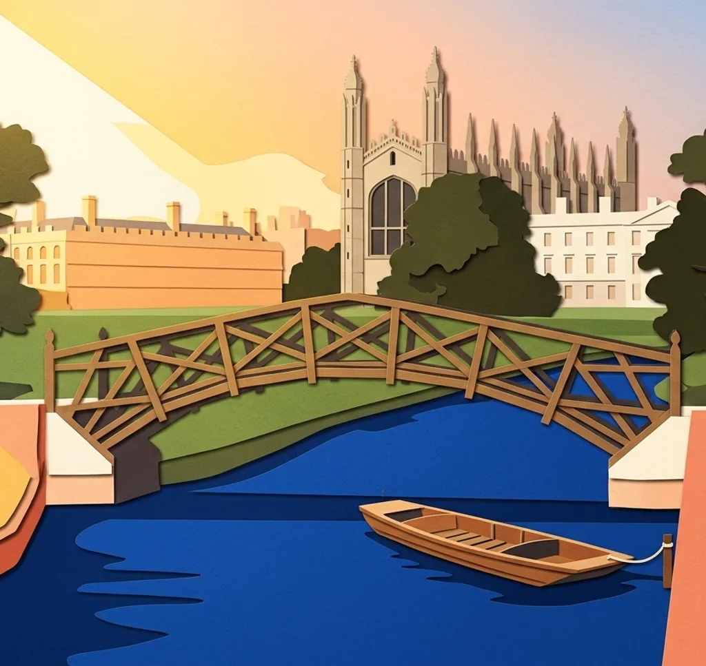
From the public Silver Street Bridge, look north towards the wooden Mathematical Bridge at Queens’ College. Include a strip of the River Cam beneath it.
Search Google MapsTrinity Great Gate
From Trinity Street, frame the Great Gate of Trinity College as an architectural detail. The public street view does not require entry to the college.
Search Google MapsKing’s College Backs
The visitor grounds at King’s College offer views towards the River Cam and the Backs. Frame the river from an open visitor path. Admission is usually ticketed and groups may not use tripods. Check opening times and ask the college about organized or commercial shoots.
Search Google MapsRound Church
On Bridge Street, photograph the curved exterior of the Round Church from the pavement. Include its round roofline to show the shape of the building.
Search Google MapsFitzwilliam Museum
From the pavement on Trumpington Street, frame the columns and steps at the Fitzwilliam Museum’s main entrance. A centered composition suits the symmetrical facade.
Search Google MapsCastle Hill
Castle Hill is an open viewpoint above Cambridge. From the top, look across the city and arrange the roofs and skyline in horizontal layers.
Search Google MapsCambridge Market Square
In Market Square, frame a section of the open air market with its stalls. Leave shoppers and traders room to move, and expect the layout to change as improvement plans progress.
Search Google MapsJesus Green
The River Cam borders Jesus Green. From the riverside path, use the trees and water to create a quiet horizontal frame.
Search Google MapsParker’s Piece
On Parker’s Piece, use the paths converging at the Reality Checkpoint lamp to create leading lines. Photograph from the path and leave room for others.
Search Google MapsSources for these photo spots
- King’s College Cambridge: Your visit
- King’s College Cambridge: Visiting King’s
- King’s College Cambridge: Opening times and tickets
- King’s College Cambridge: Group visitor guidance
- King’s College Cambridge: Filming and photography
- Queens’ College Cambridge: Bridges and riverside
- Trinity College Cambridge: Visiting and photography
- Round Church Cambridge: Visitor centre
- Fitzwilliam Museum: Plan your visit
- Fitzwilliam Museum: Founder’s Entrance
- Cambridge City Council: Recreation grounds and Castle Hill
- Visit Cambridge: Market Square
- Cambridge City Council: Market Square improvements
- Cambridge City Council: Jesus Green
- Cambridge City Council: Parker’s Piece