Cape May, New Jersey / 8 photo spots
8 Instagram spots around Cape May, New Jersey
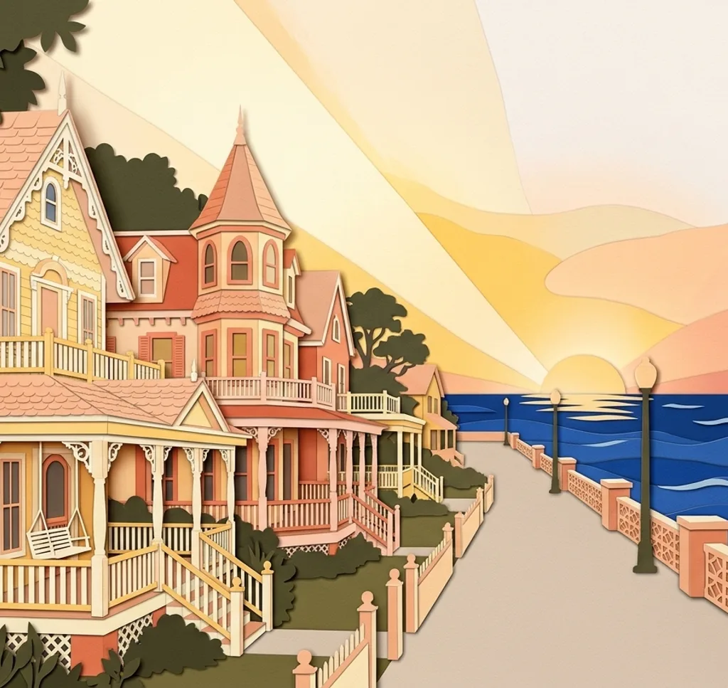
Cape May pairs Victorian streets with an Atlantic seafront. The lighthouse is in Cape May Point State Park in Lower Township. The Sunset Boulevard stops are also outside the city.
Explore the map
Photo spots on the map
0 of 8 photo ideas have sourced location coordinates. The initial view is for orientation. An area marker does not indicate an exact photo position.
Select a highlighted number to show its sourced location on the map. Every name links to the photo spot.
If the map does not load, use the OpenStreetMap link or the photo spot list.
Map data: © OpenStreetMap contributors, ODbL.
Destination reference: GeoNames (CC BY 4.0). Spot coordinates: Wikidata, CC0. Selection, association and some calculations by You, Me, Away.
Washington Street Mall
The pedestrian mall runs through Cape May’s shopping district. Use the line of shopfronts to give a street photograph depth, keeping entrances and pedestrian flow clear.
Search Google MapsBeach Avenue Promenade
Cape May’s beachfront promenade follows the ocean. Compose a wide frame with the walkway and beach, or turn inland towards the seaside buildings.
Search Google MapsCape May Historic District
The city’s historic district is known for Victorian architecture. From public pavements, compare a complete facade with details of the decorative woodwork.
Search Google MapsEmlen Physick Estate
The Emlen Physick Estate is a Victorian house museum with gardens. Include the grounds for an exterior view and check current access arrangements before a visit.
Search Google MapsCongress Hall exterior
Congress Hall is a historic hotel in Cape May. Make a street-side architectural image and respect the privacy of guests and any property rules.
Search Google MapsCape May Lighthouse
The lighthouse stands in Cape May Point State Park in Lower Township, outside the city of Cape May. Include the surrounding park in your frame and check the operator’s schedule if you want to climb.
Search Google MapsSunset Beach
Sunset Beach is a coastal stop near Cape May Point. Use the line between shore and water for a landscape photograph, and stay clear of the water’s edge in rough conditions.
Search Google MapsWorld War II Lookout Tower
The lookout tower is on Sunset Boulevard in Lower Township, beside Sunset Beach. A boardwalk crosses sensitive dunes to the tower, so remain on the designated route.
Search Google Maps