Cartago, Costa Rica / 9 photo spots
9 Instagram spots around Cartago, Costa Rica
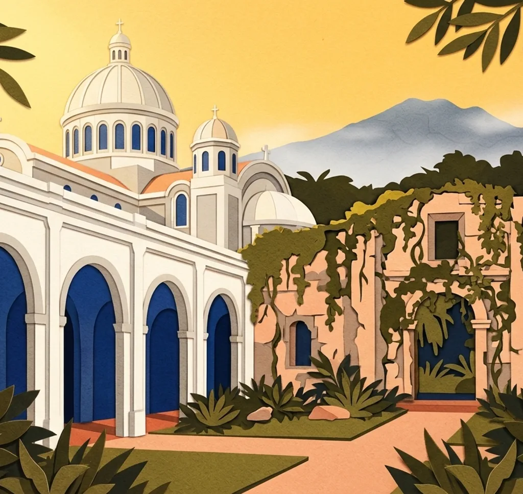
Cartago’s centre pairs a pilgrimage basilica with the remains of an unfinished church. Gardens, valley viewpoints and a volcanic crater are separate excursions outside the city.
Explore the map
Photo spots on the map
0 of 9 photo ideas have sourced location coordinates. The initial view is for orientation. An area marker does not indicate an exact photo position.
Select a highlighted number to show its sourced location on the map. Every name links to the photo spot.
If the map does not load, use the OpenStreetMap link or the photo spot list.
Map data: © OpenStreetMap contributors, ODbL.
Destination reference: GeoNames (CC BY 4.0). Spot coordinates: Wikidata, CC0. Selection, association and some calculations by You, Me, Away.
Basílica de Nuestra Señora de los Ángeles
From the public plaza in front of the basilica, frame its domes and entrance together. This is an active pilgrimage church, so leave worshippers room and respect services.
Search Google MapsRuinas de la Parroquia Santiago Apóstol
The unfinished stone church stands beside Plaza Mayor. From the public square, frame its arched walls without relying on entry to the garden inside.
Search Google MapsCentro Cultural de Cartago
The former bank building is a historic landmark in the centre. From the pavement, frame the details around its entrance and upper façade.
Search Google MapsIglesia María Auxiliadora Cartago
This red church has a pointed façade and tower. Photograph the exterior from a public pavement, keeping the entrance clear for visitors.
Search Google MapsJardín Botánico Lankester
The university garden in Paraíso, outside Cartago, has orchid collections and visitor paths. Photograph plants from the paths without touching them. Check admission fees and conditions for organised shoots before visiting.
Search Google MapsIrazú Volcano National Park, Cráteres sector
The crater area is a separate excursion north of Cartago. From the marked main viewpoint, frame the volcanic landscape and stay within the permitted visitor area. Tickets must be booked online. Check park access before leaving.
Search Google MapsMirador de Ujarrás
This visitor lookout near Paraíso overlooks the Ujarrás area. From the maintained viewing area, include the valley and its slopes in a wide frame. Check opening arrangements before the excursion.
Search Google MapsRuinas de Ujarrás
The old church ruins in Ujarrás stand in a garden east of Cartago. From the visitor grounds, frame the stone façade with its arches. Check access before the trip.
Search Google MapsMuseo Municipal de Cartago
The city museum occupies a historic building near the centre. From its visitor grounds or the public pavement, frame the long façade and its entrance. Check locally before photographing inside.
Search Google MapsSources for these photo spots
- Costa Rica Tourism Board, historical walks through Cartago
- Costa Rica Tourism Board, Parroquia de Santiago Apóstol ruins in Cartago
- University of Costa Rica, visiting Lankester Botanical Garden
- SINAC, Irazú Volcano National Park
- SINAC, visitor map and regulations for Irazú
- UK FCDO, Costa Rica safety and security
- Costa Rica Tourism Board, Mirador Ujarrás
- Costa Rica Tourism Board, Ujarrás ruins
- Sistema de Información Cultural de Costa Rica, Museo Municipal de Cartago