Cebu City / 10 photo spots
10 Instagram spots around Cebu City
Cebu City combines historic streets and places of worship with a hillside view of the wider city. These ideas use outdoor architecture, a market and public spaces. Venue access and photography rules can change.
Explore the map
Photo spots on the map
5 of 10 photo ideas have sourced location coordinates. The initial view is for orientation. An area marker does not indicate an exact photo position.
Select a highlighted number to show its sourced location on the map. Every name links to the photo spot.
If the map does not load, use the OpenStreetMap link or the photo spot list.
All photo spots
- Fort San PedroApproximate area
- Cebu Metropolitan CathedralSourced place
- Carbon MarketApproximate area
- Colon StreetApproximate area
- Rizal Memorial Library and MuseumSourced place
Map data: © OpenStreetMap contributors, ODbL.
Destination reference: GeoNames (CC BY 4.0). Spot coordinates: Wikidata, CC0. Selection, association and some calculations by You, Me, Away.
Fort San Pedro
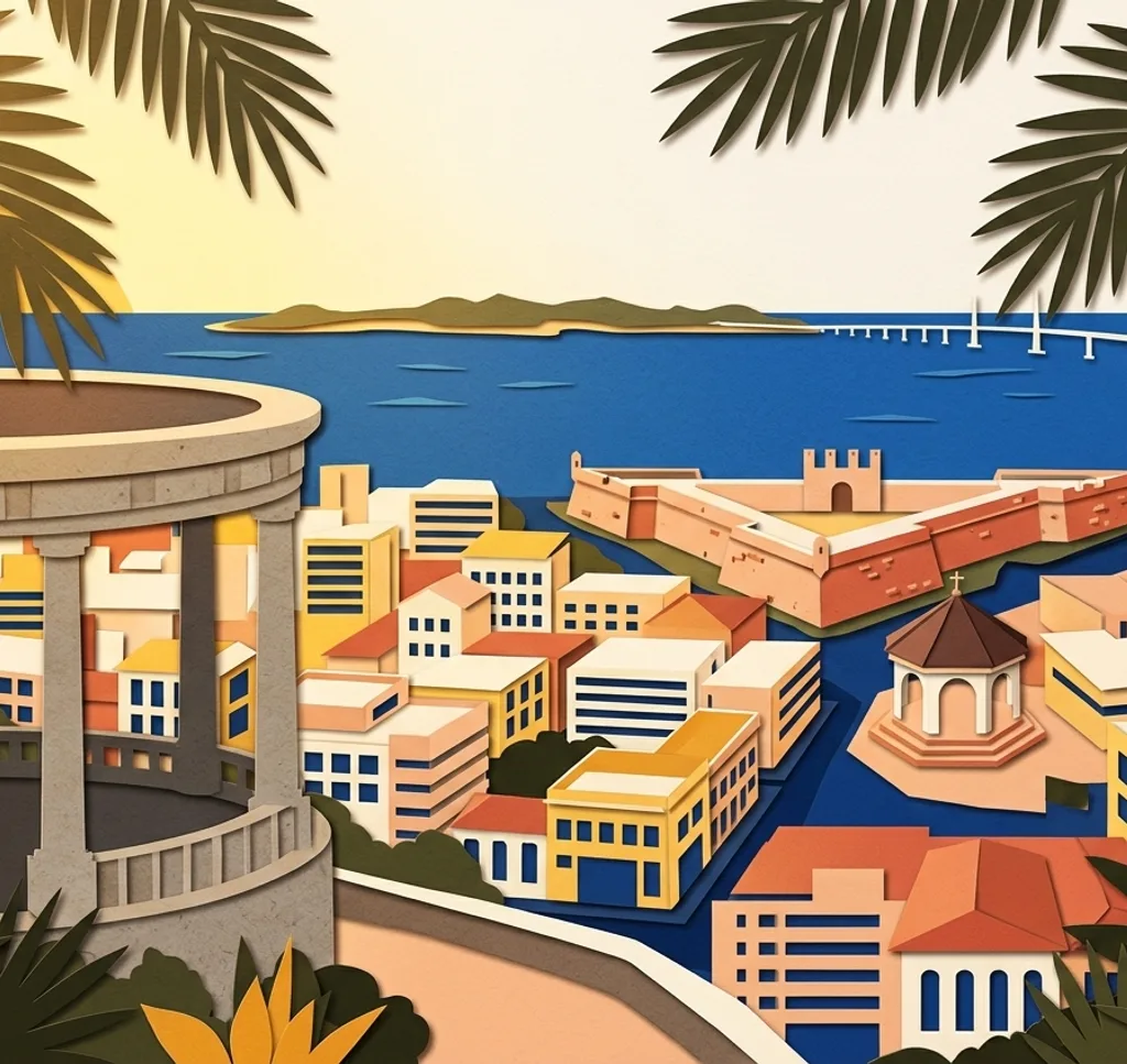
Fort San Pedro is a stone fortification near Plaza Independencia. Photograph the exterior wall and entrance from a public approach, leaving the entrance clear for visitors.
Search Google MapsThe Circle at Tops Cebu
The Circle is a hillside viewing area in Busay. Use the city as a broad background and include the edge of the viewing deck to show where the panorama was taken. The venue charges admission.
Search Google MapsCebu Metropolitan Cathedral
The cathedral on P. Burgos Street has a surviving historic façade and bell tower. From the public approach, frame the entrance with a section of the tower and keep the way clear for worshippers.
Search Google MapsCarbon Market
At Carbon Market, look for a composition of market signage and produce displays from the visitor walkways. Ask sellers before photographing them or a close view of their stall.
Search Google MapsCasa Gorordo Museum
Casa Gorordo is a historic house museum in the Parian area. From the public street, look for a detail of its upper storey and frame it against the lower part of the house.
Search Google MapsPlaza Independencia
A monument to Andrés Bonifacio stands at Plaza Independencia. From a public path, include some of the square around it and leave space for others.
Search Google MapsColon Street
Colon Street is a historic commercial street in central Cebu. Work from the pavement and choose one sign or storefront as a foreground detail while letting the street recede behind it.
Search Google MapsRizal Memorial Library and Museum
The Rizal Memorial Library and Museum is a historic Cebu building. From the pavement, centre a section of its exterior to emphasise the symmetry of the façade.
Search Google MapsYap-Sandiego Heritage House
The Yap-Sandiego house in Parian preserves a historic residential building. Look for an exterior detail from the street and leave gates and doorways clear.
Search Google MapsBasilica Minore del Santo Niño
The Basilica del Santo Niño is an active place of worship in central Cebu. Compose the exterior from a public approach and follow instructions from staff around services.
Search Google MapsSources for these photo spots
- Province of Cebu: History and landmarks
- National Historical Commission of the Philippines: Fort San Pedro
- National Historical Commission of the Philippines: Cebu Cathedral
- National Historical Commission of the Philippines: Colon Street
- Casa Gorordo Museum: About the museum
- Tops Cebu: The Circle
- Tops Cebu: Visitor information
- Yap-Sandiego Heritage House: About the house
- Province of Cebu: About and urban attractions
- National Historical Commission of the Philippines: Rizal Memorial Library and Museum
- National Historical Commission of the Philippines: Andres Bonifacio Monument