Charleston / 10 photo spots
10 Instagram spots around Charleston
Charleston combines harbour views, historic streets and gardens. These ideas include the peninsula and an outing to Johns Island. The city has a permit process for film and photography projects on public property or affecting public ways. Check its requirements before organising a shoot.
Explore the map
Photo spots on the map
4 of 10 photo ideas have sourced location coordinates. The initial view is for orientation. An area marker does not indicate an exact photo position.
Select a highlighted number to show its sourced location on the map. Every name links to the photo spot.
If the map does not load, use the OpenStreetMap link or the photo spot list.
All photo spots
- Dock Street TheatreSourced place
- Rainbow RowApproximate area
- Hampton ParkApproximate area
- Marion SquareApproximate area
Map data: © OpenStreetMap contributors, ODbL.
Destination reference: GeoNames (CC BY 4.0). Spot coordinates: Wikidata, CC0. Selection, association and some calculations by You, Me, Away.
Angel Oak Park
The Angel Oak spreads its low, heavy branches in a city park on Johns Island, a separate outing from the peninsula. Photograph from the visitor area. Tripods are prohibited around the tree and wedding or engagement shoots require a permit.
Search Google MapsJoe Riley Waterfront Park
Waterfront Park combines a harbourfront path, lawns and fountains. Pick one section of the fountain and place the harbour horizon above it for a layered picture.
Search Google MapsDock Street Theatre
The historic Dock Street Theatre is on Church Street. From the public street, make the building’s exterior the subject and leave room around its entrance.
Search Google MapsRainbow Row
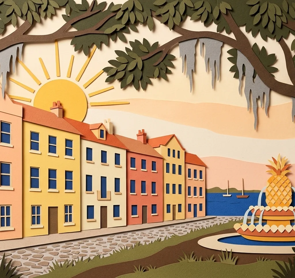
The coloured historic houses of Rainbow Row line East Bay Street. From a public sidewalk, frame just a few neighbouring façades and their different window shapes.
Search Google MapsHampton Park
Hampton Park is known for its flower beds, trees and walking routes. Choose a planted border close to the path as foreground and let the trees fill the background.
Search Google MapsOld Exchange
The Old Exchange stands on East Bay Street. From the sidewalk, include its full front and a little surrounding street to show the building in context.
Search Google MapsMarion Square
Marion Square is a green public space on the Charleston peninsula. Use a path across the square to create depth, allowing the open lawn and surrounding buildings to share the frame.
Search Google MapsWhite Point Garden
White Point Garden lies at the southern tip of the peninsula by the harbour. Use the park paths and trees to make a foreground for a view towards the water.
Search Google MapsThe Charleston Museum
The Charleston Museum is on Meeting Street. From the public sidewalk, photograph the entrance and a portion of the building as a simple street-level composition.
Search Google MapsCharleston City Market
The City Market’s historic sheds extend through downtown. From the pedestrian area, use the repeating rooflines as a frame and keep vendor access clear.
Search Google MapsSources for these photo spots
- City of Charleston: Angel Oak Park and rules
- Explore Charleston: Angel Oak
- City of Charleston: Film and photography permits
- City of Charleston: Waterfront Park
- Explore Charleston: Downtown parks
- City of Charleston: Dock Street Theatre
- Explore Charleston: Dock Street Theatre
- Explore Charleston: Rainbow Row
- City of Charleston: Hampton Park
- Old Exchange and Provost Dungeon: About
- City of Charleston: Marion Square
- Explore Charleston: Marion Square
- The Charleston Museum: Visitor information
- Explore Charleston: Charleston Museum
- Charleston City Market: About the market