Chefchaouen / 10 photo spots
10 Instagram spots around Chefchaouen
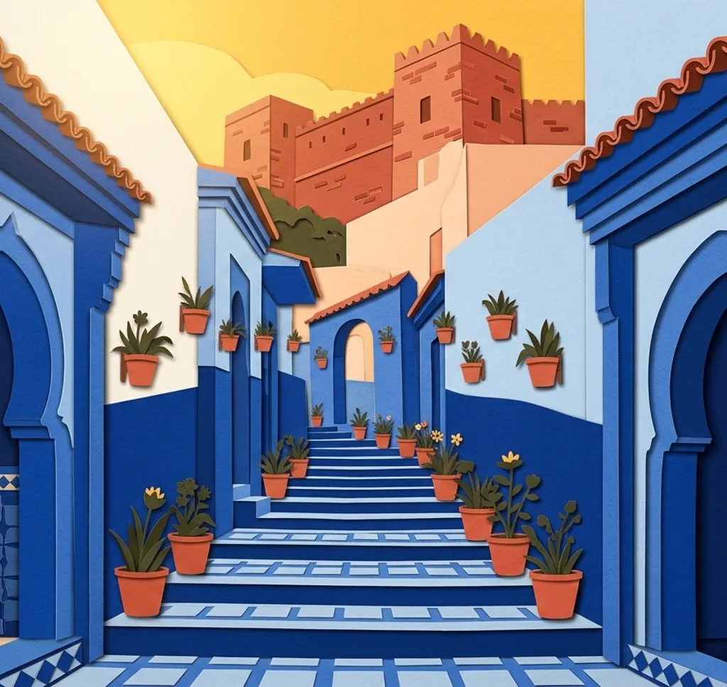
Blue streets and public squares make Chefchaouen distinctive. Nearby mountain trails, waterfalls and a Mediterranean beach add day trip ideas. Check trail conditions and respect local privacy.
Explore the map
Photo spots on the map
0 of 10 photo ideas have sourced location coordinates. The initial view is for orientation. An area marker does not indicate an exact photo position.
Select a highlighted number to show its sourced location on the map. Every name links to the photo spot.
If the map does not load, use the OpenStreetMap link or the photo spot list.
Map data: © OpenStreetMap contributors, ODbL.
Destination reference: GeoNames (CC BY 4.0). Spot coordinates: Wikidata, CC0. Selection, association and some calculations by You, Me, Away.
Chefchaouen Medina
Chefchaouen’s medina climbs the mountainside through narrow blue streets. Photograph along a public passage to bring out its curves and colour, while keeping doorways clear and respecting the people who live here.
Search Google MapsPlace Outa el Hammam
Outa el Hammam is the cobbled main square in Chefchaouen’s old town. Frame the paving and outdoor café seating from street level, leaving enough space for people to move through the square.
Search Google MapsPlace El Haouta
Place El Haouta is a smaller medina square known for its tiled fountain. Use the fountain as the centre of a close composition and leave the surrounding public space visible for context.
Search Google MapsBab El Ain
Bab El Ain is a gateway at the edge of Chefchaouen’s medina, on the route towards Outa el Hammam. From the public approach, use the gateway to frame the street beyond.
Search Google MapsRas El Maa
Ras El Maa is a waterfall at the edge of Chefchaouen. Photograph the moving water from an accessible path, leaving room for the surrounding landscape and avoiding photographs of people without consent.
Search Google MapsJbel El Kelaa
Jbel El Kelaa rises above Chefchaouen and offers a view back over the city. This is a demanding mountain hike. With a local guide, compose the town within the wider mountain landscape.
Search Google MapsAkchour Waterfalls
The Akchour waterfalls are a day trip from Chefchaouen in the Rif Mountains. Photograph the falling water from a safe viewpoint on the trail and check weather and local conditions before setting out.
Search Google MapsGod’s Bridge at Akchour
The Pont de Dieu near Akchour is a natural rock arch above the Oued Farda. With a local guide, photograph the arch from a safe accessible viewpoint, without approaching exposed edges.
Search Google MapsAzilane Forest
The forest around Azilane in the Chefchaouen region includes Moroccan fir, cedar and pine. Explore an appropriate route with a local guide and use the trunks to frame the forest scene.
Search Google MapsOued Laou Beach
Oued Laou is a Mediterranean coastal excursion from the Chefchaouen area. Photograph from the beach towards the open sea, keeping the meeting of shoreline and water visible in the foreground.
Search Google MapsSources for these photo spots
- Moroccan National Tourist Office: Medina in Chefchaouen
- Moroccan National Tourist Office: The Blues of Chefchaouen
- Chefchaouen Tours: Plan Your Visit
- Agence Urbaine de Tétouan: Medina rehabilitation, 2025
- Moroccan National Tourist Office: Nature in Chefchaouen
- Local guide Aymane: Jbel El Kelaa hike
- Moroccan National Tourist Office: Tetouan and the region
- ATED: Biodiversity in Talassemtane and Bouhachem
- Chefchaouen SPA: Guide de la Médina de Chefchaouen