Christchurch / 10 photo spots
10 Instagram spots around Christchurch
Christchurch combines riverside paths and heritage façades with gardens and coastal viewpoints. These photo ideas name the places and suggest compositions suited to their outdoor settings.
Explore the map
Photo spots on the map
5 of 10 photo ideas have sourced location coordinates. The initial view is for orientation. An area marker does not indicate an exact photo position.
Select a highlighted number to show its sourced location on the map. Every name links to the photo spot.
If the map does not load, use the OpenStreetMap link or the photo spot list.
All photo spots
- Peacock FountainSourced place
- New Regent StreetApproximate area
- New Brighton PierSourced place
- Bridge of RemembranceSourced place
- Cardboard CathedralSourced place
Map data: © OpenStreetMap contributors, ODbL.
Destination reference: GeoNames (CC BY 4.0). Spot coordinates: Wikidata, CC0. Selection, association and some calculations by You, Me, Away.
Peacock Fountain
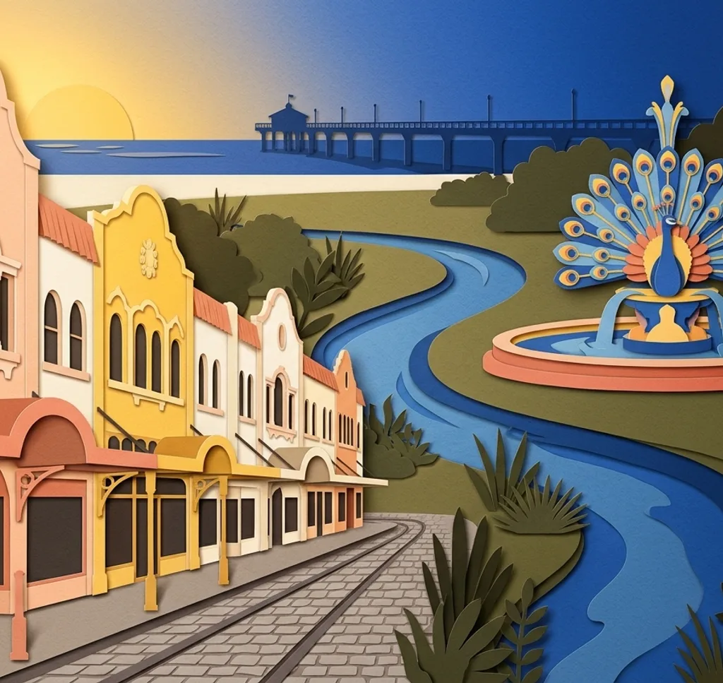
This ornate three-tier fountain stands on Armstrong Lawn in the Botanic Gardens. From a garden path, frame the fountain against the trees and leave room for its circular pool at the bottom of the image.
Search Google MapsNew Regent Street
Pastel façades line New Regent Street in the city centre. Photograph along the pedestrian street to show the repeating upper windows, while keeping the tram route clear.
Search Google MapsMona Vale Gardens
The Mona Vale gardens have riverbank plantings and heritage buildings. Follow a garden path beside the Avon and use the foliage to frame a quieter view across the water. Check the seasonal gate hours before visiting.
Search Google MapsNew Brighton Pier
New Brighton Pier extends from the shoreline into the Pacific. From the beach, place its line of supports diagonally across the frame and keep the horizon level. Stay clear of the water when waves reach the shore.
Search Google MapsRiccarton House and grounds
Riccarton House stands within parkland beside the Avon and native bush. From the grounds, use branches at the edge of the frame to surround a view of the historic house.
Search Google MapsBridge of Remembrance
The pedestrian Bridge of Remembrance crosses the Avon at Cashel Street. Photograph the memorial arch from the riverbank path, allowing space around the stonework and the water below.
Search Google MapsVictoria Park, Port Hills
Victoria Park has walking tracks with views over Christchurch and the surrounding hills. Where a marked path opens onto the view, use the nearby hillside as a foreground layer and keep to the track.
Search Google MapsThe Arts Centre Te Matatiki Toi Ora
The Arts Centre brings together restored Gothic Revival buildings. Look for a detail of the stonework from a public area. Personal photographs are permitted there, while commercial and editorial photography needs prior consent from the operator.
Search Google MapsSumner Beach
Sumner Beach lies in a seaside neighbourhood east of central Christchurch. From the sand, compose a broad coastal view with a narrow strip of beach below the sky and leave room around other beachgoers.
Search Google MapsCardboard Cathedral
The Cardboard Cathedral is a Christchurch landmark built with cardboard tubes, timber and steel. From the street outside, frame the triangular roof against the sky and focus on the building’s outline.
Search Google MapsSources for these photo spots
- Christchurch City Council: Peacock Fountain
- ChristchurchNZ: central city guide
- Christchurch City Council: Mona Vale
- Christchurch City Council: New Brighton Pier
- ChristchurchNZ: Riccarton House and Bush
- Heritage New Zealand: Bridge of Remembrance
- ChristchurchNZ: walking and hiking tracks
- The Arts Centre: restored heritage buildings
- The Arts Centre: filming and photography
- ChristchurchNZ: beaches around Christchurch
- ChristchurchNZ: Noteworthy Gardens
- ChristchurchNZ: Winter Walking Guide