Cincinnati / 9 photo spots
9 Instagram spots around Cincinnati
Cincinnati’s photo stops include riverfront paths, historic buildings and hilltop parks. City parks allow personal photos. Professional portrait photographers should call ahead, and commercial shoots need a permit.
Explore the map
Photo spots on the map
5 of 9 photo ideas have sourced location coordinates. The initial view is for orientation. An area marker does not indicate an exact photo position.
Select a highlighted number to show its sourced location on the map. Every name links to the photo spot.
If the map does not load, use the OpenStreetMap link or the photo spot list.
All photo spots
- Fountain SquareApproximate area
- Findlay MarketApproximate area
- Cincinnati Union TerminalSourced place
- Bellevue Hill ParkApproximate area
- Lytle ParkApproximate area
Map data: © OpenStreetMap contributors, ODbL.
Destination reference: GeoNames (CC BY 4.0). Spot coordinates: Wikidata, CC0. Selection, association and some calculations by You, Me, Away.
Smale Park and Roebling Bridge
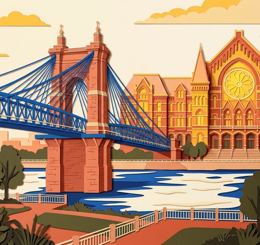
From a riverside path in Smale Riverfront Park, frame the Roebling Suspension Bridge over the Ohio River. Stay on open paths and follow closures during flooding.
Search Google MapsMusic Hall from Washington Park
Washington Park faces Cincinnati Music Hall. From the park plaza, frame the hall’s facade with the park in the foreground and leave the path open for others.
Search Google MapsEden Park Twin Lakes
The Twin Lakes in Eden Park have walking paths and a footbridge. From an open path, use the water and footbridge to frame a quiet landscape composition.
Search Google MapsAult Park Pavilion
The pavilion at Ault Park overlooks gardens and paved paths. Frame its arches from a public path and respect any private event taking place there. The cascades operate seasonally.
Search Google MapsFountain Square
The Tyler Davidson Fountain stands in the center of Fountain Square. Photograph the bronze figures from the plaza with nearby buildings behind them. The water is switched off in colder months.
Search Google MapsFindlay Market
Findlay Market in Over-the-Rhine has a historic market house and an outdoor market. Photograph the exterior from a public sidewalk, or visit on a market day for the stalls. The market is closed on Mondays.
Search Google MapsCincinnati Union Terminal
Union Terminal’s art deco facade makes a broad architectural subject. From the visitor plaza near the fountain, step back and include the full curve of the building if space allows. Ask the museum in advance about organized photo sessions.
Search Google MapsBellevue Hill Park
Bellevue Hill Park has a paved path and an overlook toward downtown Cincinnati and the Ohio River. From the overlook, place the skyline below the open sky.
Search Google MapsLytle Park
Lytle Park has flower beds, paved paths and an Abraham Lincoln statue. Photograph the statue from a path and use the seasonal planting as a foreground when it is in bloom.
Search Google MapsSources for these photo spots
- Cincinnati Parks: Smale Riverfront Park
- Cincinnati Parks: BLINK at Smale Riverfront
- City of Cincinnati: Riverfront Park Flood Closures
- Cincinnati Parks: Photography FAQ
- Cincinnati Parks: Washington Park
- Cincinnati Arts Association: Visit Music Hall
- Cincinnati Parks: Eden Park
- Cincinnati Parks: Ault Park
- Fountain Square: History
- Findlay Market: Market and Hours
- Findlay Market: Hours
- Cincinnati Museum Center: About Union Terminal
- Cincinnati Parks: Bellevue Hill Park
- Cincinnati Parks: Lytle Park