Cologne / 10 photo spots
10 Instagram spots around Cologne
Cologne offers riverside views, medieval gates and modern architecture along the Rhine. These ten ideas use public squares, paths and gardens to explore different parts of the city.
Explore the map
Photo spots on the map
6 of 10 photo ideas have sourced location coordinates. The initial view is for orientation. An area marker does not indicate an exact photo position.
Select a highlighted number to show its sourced location on the map. Every name links to the photo spot.
If the map does not load, use the OpenStreetMap link or the photo spot list.
All photo spots
- RheinboulevardApproximate area
- Cologne CathedralSourced place
- Hohenzollern BridgeSourced place
- EigelsteintorburgSourced place
- RheinparkApproximate area
- HahnentorburgSourced place
Map data: © OpenStreetMap contributors, ODbL.
Destination reference: GeoNames (CC BY 4.0). Spot coordinates: Wikidata, CC0. Selection, association and some calculations by You, Me, Away.
Rheinboulevard
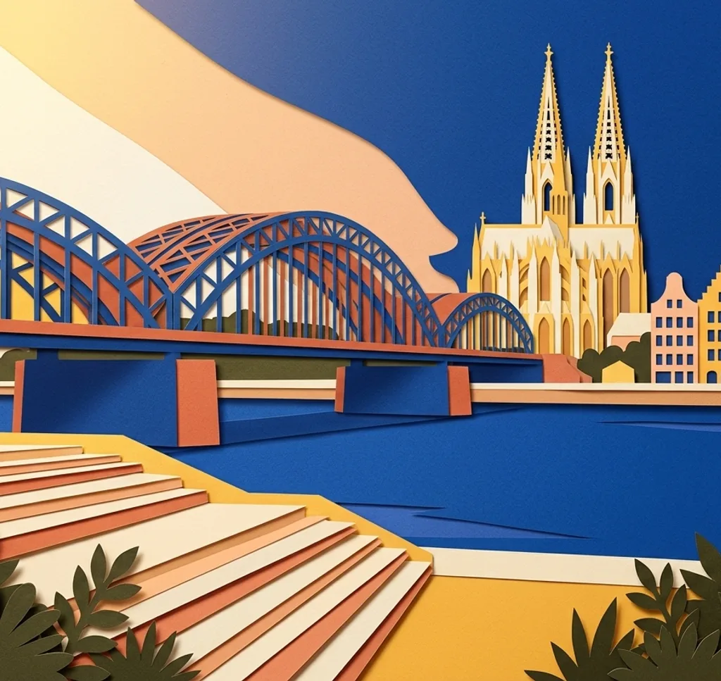
On the Deutz riverbank, the broad Rheinboulevard steps face Cologne's old town. Use a section of the steps as a foreground and leave room above the rooftops for the cathedral towers.
Search Google MapsCologne Cathedral
The cathedral's Gothic stonework fills the view from the surrounding Domplatte. From the square, isolate a doorway or part of the façade for a closer study. Part of the northern Domplatte is closed for construction. Follow the local diversions.
Search Google MapsFriedenspark
The Friedenspark sits by the Rhine and incorporates terraces of the former Fort I. From a park path, compose the old stonework with the surrounding greenery.
Search Google MapsFischmarkt and Fischweiberbrunnen
At Fischmarkt, the Fischweiberbrunnen stands in front of a row of colourful old-town houses. Place the fountain to one side and use the façades to give the photograph its setting.
Search Google MapsHohenzollern Bridge
The bridge carries a pedestrian route beside its railway tracks. From the walkway, use the steel arches or lock-covered railing for a close architectural study. Keep the path clear for other users.
Search Google MapsEigelsteintorburg
The Eigelsteintorburg is a medieval double-towered city gate. Photograph its arch and towers from the surrounding pavement, using a vertical frame to keep the entrance and roofline together.
Search Google MapsKranhäuser at Rheinauhafen
The three Kranhäuser project above the Rheinauhafen promenade. From the public route beside the harbour, use one building's horizontal overhang to make a strong line across the sky.
Search Google MapsStadtgarten
The Stadtgarten is a landscaped park near Venloer Straße. Follow one of its walking paths and frame the curve of the route beneath the tree canopy for a quieter city image.
Search Google MapsRheinpark
In Rheinpark, trees and open lawns sit beside the river. Pick a path near the water and use branches at the edge of the frame to lead the eye towards the opposite bank.
Search Google MapsHahnentorburg
The Hahnentorburg stands at Rudolfplatz among modern streets. Compose from the pavement with the old stone gate in the centre and a little of its present-day setting at the edges.
Search Google MapsSources for these photo spots
- KölnTourismus: Rheinboulevard
- KölnTourismus: Kölner Dom
- Stadt Köln: Innerer Grüngürtel
- KölnTourismus: Fischweiberbrunnen
- KölnTourismus: Hohenzollernbrücke
- KölnTourismus: Eigelsteintorburg
- KölnTourismus: Kranhäuser
- KölnTourismus: Stadtgarten
- KölnTourismus: Rheinpark
- KölnTourismus: Hahnentorburg
- Stadt Köln: Neugestaltung der nördlichen Domumgebung