Colonia del Sacramento / 9 photo spots
9 Instagram spots around Colonia del Sacramento
On the Río de la Plata, Colonia del Sacramento is known for its historic quarter and waterfront. The Plaza de Toros adds a stop in the Real de San Carlos district.
Explore the map
Photo spots on the map
0 of 9 photo ideas have sourced location coordinates. The initial view is for orientation. An area marker does not indicate an exact photo position.
Select a highlighted number to show its sourced location on the map. Every name links to the photo spot.
If the map does not load, use the OpenStreetMap link or the photo spot list.
All photo spots
Map data: © OpenStreetMap contributors, ODbL.
Destination reference: GeoNames (CC BY 4.0). Spot coordinates: Wikidata, CC0. Selection, association and some calculations by You, Me, Away.
Portón de Campo Colonia del Sacramento
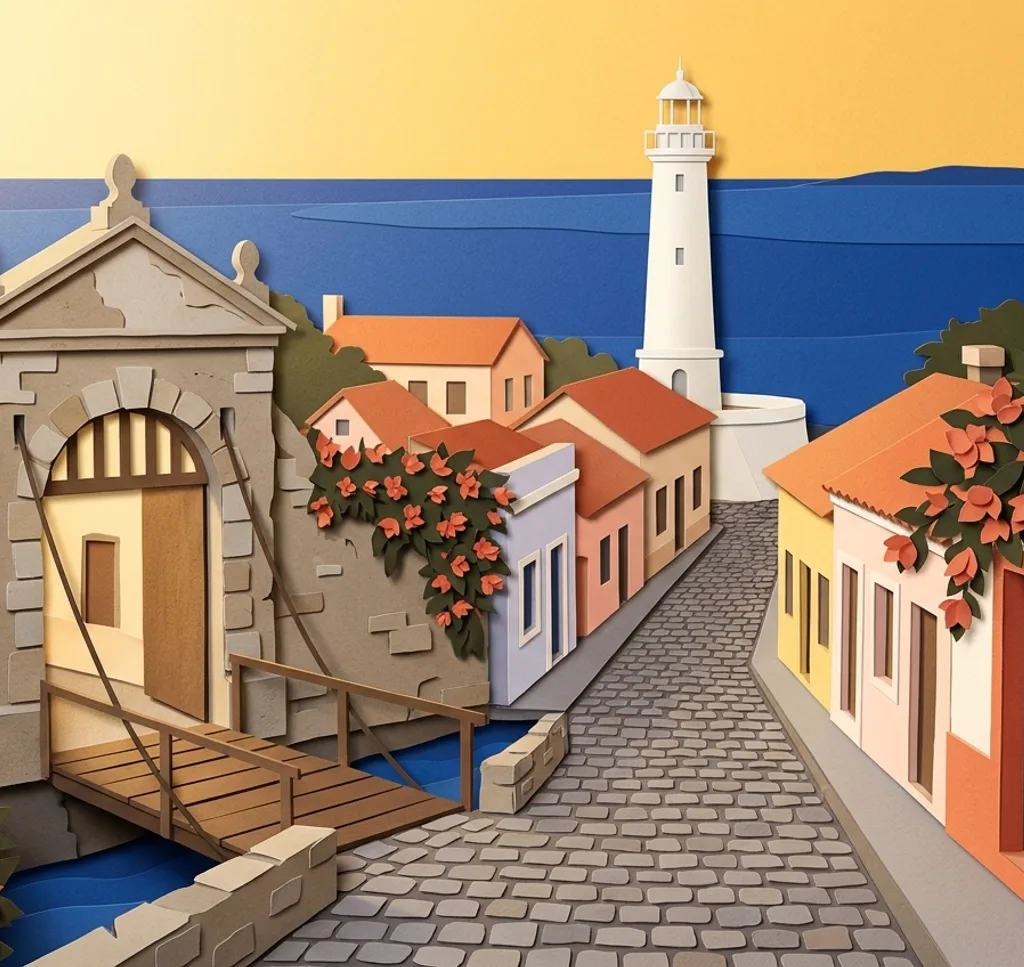
The old city gate marks an entrance to the historic quarter. From the public approach, frame the gateway together with the stone wall and bridge.
Search Google MapsCalle de los Suspiros
This stone-paved lane runs through the historic quarter. From the pedestrian street, use the houses on both sides to lead the eye along the lane. Respect residents’ privacy.
Search Google MapsPlaza Mayor Colonia del Sacramento
The Plaza Mayor sits in the historic quarter among old buildings. From a public path, frame a section of the square with trees and surrounding façades.
Search Google MapsMuseo Casa de Nacarello
This Portuguese-style house faces Plaza Mayor and is now a museum. From the public street, photograph the low building and its tiled roof.
Search Google MapsBasílica del Santísimo Sacramento Colonia
The basilica is a landmark near the historic quarter. From the public street, compose its façade and the space around the entrance without interrupting worshippers.
Search Google MapsFaro de Colonia del Sacramento
The lighthouse rises above the historic quarter near Calle de San Francisco. Photograph its exterior from the public pedestrian street, looking up to include the tower.
Search Google MapsPaseo de San Gabriel Colonia del Sacramento
This waterfront promenade faces the Río de la Plata. From the public walkway, include the shoreline in the foreground and the open water beyond.
Search Google MapsCentro Cultural Bastión del Carmen
Bastión del Carmen is a cultural centre near the waterfront. Photograph the exterior from the public street on Rivadavia and leave the entrance clear.
Search Google MapsPlaza de Toros Real de San Carlos
The restored former bullring in Real de San Carlos is now an events venue. From the public sidewalk outside, frame a section of its circular façade.
Search Google Maps