Concepción / 10 photo spots
10 Instagram spots around Concepción
Concepción combines university landmarks with parks, water and contemporary architecture. These ten ideas use public approaches and existing paths for a range of city and landscape compositions.
Explore the map
Photo spots on the map
2 of 10 photo ideas have sourced location coordinates. The initial view is for orientation. An area marker does not indicate an exact photo position.
Select a highlighted number to show its sourced location on the map. Every name links to the photo spot.
If the map does not load, use the OpenStreetMap link or the photo spot list.
Map data: © OpenStreetMap contributors, ODbL.
Destination reference: GeoNames (CC BY 4.0). Spot coordinates: Wikidata, CC0. Selection, association and some calculations by You, Me, Away.
Laguna Redonda Park
The urban park surrounds Laguna Redonda. From a park path, use the curved waterline to lead towards the trees on the far bank.
Search Google MapsUniversity of Concepción Campanile
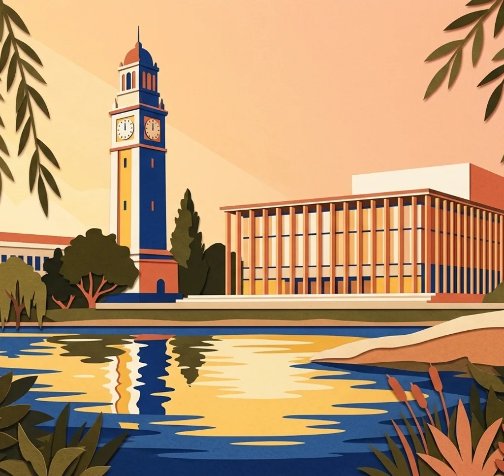
The university’s clock tower rises above the campus. From the grounds below, leave room around the tower and use the lawn to anchor the foreground.
Search Google MapsTeatro Biobío
The theatre is wrapped in a translucent outer membrane. From the public space outside, frame a corner to show how its patterned skin meets the surrounding city.
Search Google MapsParque Ecuador
Parque Ecuador stretches at the foot of Cerro Caracol. Follow a park path and use the trees to frame a view along the green space.
Search Google MapsPlaza de la Independencia
The fountain topped by a statue of Ceres stands in the centre of Plaza de la Independencia. From the square, frame the fountain as the main subject and use the trees around it for context.
Search Google MapsLaguna de los Patos
Laguna de los Patos is a small body of water in the university grounds. Work from the existing edge paths and use the campus greenery as a frame around the water.
Search Google MapsCerro Caracol
Cerro Caracol rises behind Parque Ecuador and has walking paths and viewpoints. From an open viewpoint, make the city part of a wider panorama.
Search Google MapsArco de Medicina
The university entrance arch marks one end of the campus axis. Photograph the opening from the surrounding public approach, keeping the arch as the clear subject.
Search Google MapsParque Bicentenario
Parque Bicentenario sits near the Biobío waterfront. Use the open park space to compose a wide urban scene, leaving room for the river setting beyond.
Search Google MapsCathedral of Concepción
The cathedral faces Plaza de la Independencia. From the square, frame its façade from street level.
Search Google MapsSources for these photo spots
- Chile es Tuyo: Concepción by train
- Catholic University of the Most Holy Conception: Plaza fountain
- University of Concepción: Campus trees and landmarks
- University of Concepción: Heritage routes
- Teatro Biobío: The theatre building
- Chile es Tuyo: Historic Concepción
- Chile es Tuyo: Biobío coastal itinerary
- Ministry of Environment: Laguna Redonda wetland