Córdoba, Argentina / 9 photo spots
9 Instagram spots around Córdoba, Argentina
Córdoba combines Jesuit architecture with cultural venues, streamside walks and public parks. These photo stops use public streets and established visitor paths.
Explore the map
Photo spots on the map
1 of 9 photo ideas has sourced location coordinates. The initial view is for orientation. An area marker does not indicate an exact photo position.
Select a highlighted number to show its sourced location on the map. Every name links to the photo spot.
If the map does not load, use the OpenStreetMap link or the photo spot list.
Map data: © OpenStreetMap contributors, ODbL.
Destination reference: GeoNames (CC BY 4.0). Spot coordinates: Wikidata, CC0. Selection, association and some calculations by You, Me, Away.
Iglesia de la Compañía de Jesús
This church is part of Córdoba’s Jesuit Block. From the public sidewalk, frame its stone façade and two bell towers without blocking the entrance.
Search Google MapsIglesia de los Capuchinos
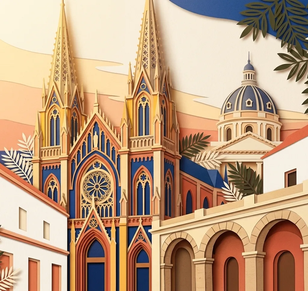
The Sagrado Corazón church in Nueva Córdoba combines Gothic Revival and Romanesque Revival influences. From the sidewalk, use a vertical frame for the façade and its two different towers.
Search Google MapsTeatro del Libertador
The Teatro del Libertador has an ornate historic façade on Avenida Vélez Sarsfield. From the sidewalk, look for a composition that includes its columns and upper reliefs.
Search Google MapsPalacio Ferreyra
The former residence now houses the Museo Evita and stands behind gardens in Nueva Córdoba. Photograph its exterior from the public sidewalk.
Search Google MapsLa Cañada
La Cañada is a stone-lined stream through the city. From an open public sidewalk near Paseo de las Artes, frame a stretch of stonework beneath the trees. Stay out of the channel and traffic. Works in the area were reported in October 2026, so check access and follow barriers.
Search Google MapsPaseo de las Artes
This cultural centre in Güemes occupies a former residential building. The city reported façade and plaza works in October 2026, with the first plaza phase expected to reopen for the December holidays. During the works, the craft fair was moved temporarily to Calle Belgrano. Check access and the market location, respect barriers, and ask before photographing people or their work.
Search Google MapsMirador del Dante
The lookout in Parque Sarmiento faces east across the city. From the established viewpoint, use the trees below as a foreground for a wide city view.
Search Google MapsParque Las Heras Elisa
Paths in this public park follow the Río Suquía. Photograph the park’s historic gazebo from a path and include some of the surrounding greenery.
Search Google MapsJardín Botánico de Córdoba
In the city’s botanical garden, paths lead through collections of local plants. Choose a leaf or branch from a visitor path and keep the background simple. Check current access before going.
Search Google MapsSources for these photo spots
- Córdoba city tourism, Iglesia de la Compañía de Jesús
- Córdoba city tourism, Iglesia de los Capuchinos
- Córdoba city tourism, Teatro del Libertador
- Córdoba city tourism, Palacio Ferreyra
- Córdoba city tourism, La Cañada
- Córdoba city tourism, Paseo de las Artes
- Córdoba city tourism, Parque Sarmiento viewpoints
- Córdoba city tourism, Parque Las Heras Elisa
- Córdoba city tourism, botanical garden
- Municipalidad de Córdoba, October 2026 Paseo de las Artes renovation
- Municipalidad de Córdoba, works and temporary craft fair location