Córdoba / 10 photo spots
10 Instagram spots around Córdoba
Córdoba’s river, historic lanes, arcades and small public squares offer distinct outdoor photo ideas across the old city.
Explore the map
Photo spots on the map
5 of 10 photo ideas have sourced location coordinates. The initial view is for orientation. An area marker does not indicate an exact photo position.
Select a highlighted number to show its sourced location on the map. Every name links to the photo spot.
If the map does not load, use the OpenStreetMap link or the photo spot list.
All photo spots
- Calleja de las FloresApproximate area
- Plaza de la CorrederaApproximate area
- Puerta de AlmodóvarSourced place
- Plaza del PotroApproximate area
- Paseo de la RiberaApproximate area
Map data: © OpenStreetMap contributors, ODbL.
Destination reference: GeoNames (CC BY 4.0). Spot coordinates: Wikidata, CC0. Selection, association and some calculations by You, Me, Away.
Roman Bridge
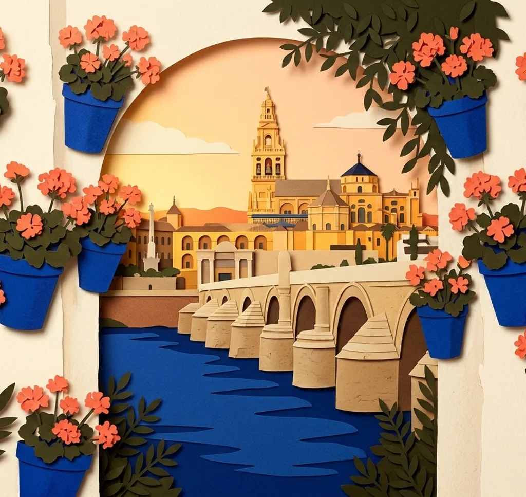
From the riverside approach, frame the Roman Bridge across the Guadalquivir and let the repeating arches form a horizontal rhythm. Keep water in the foreground to separate the bridge from the far bank.
Search Google MapsCalleja de las Flores
From the little square at the end, turn back to frame the lane as it slopes downhill. Flower-filled balconies and iron grilles line both sides, while the incline leads the eye toward the narrow opening.
Search Google MapsCalleja del Pañuelo
Follow the narrow lane from Plaza de la Concha to the tiny square at its end. From the square, frame the wall fountain with the orange trees and keep the passage clear.
Search Google MapsPlaza de la Corredera
From a corner of the rectangular square, shoot diagonally across the arcaded ground floor. Repeating arches and the upper rows of façades give the frame a strong pattern without relying on a single landmark.
Search Google MapsPuerta de Almodóvar
From Calle Cairuán, frame the surviving medieval gate together with its crenellations and adjoining wall. The Seneca statue stands just opposite and can balance the composition from the other side.
Search Google MapsPlaza de las Tendillas
Place the equestrian Gran Capitán above the square’s fountain, then include the circular and square basins at the bottom of the frame. Shoot from across the plaza so the landmark stays legible.
Search Google MapsPlaza del Potro
Photograph from the open square with the Renaissance fountain and its galloping colt in front of the old Posada façade. Keep the view at street level to show the scale of both.
Search Google MapsArco del Portillo
Stand on Calle San Fernando and centre the horseshoe arch between its stone edges. A straight-on view shows the narrow opening and the passage it once provided between the old Medina and Axerquía.
Search Google MapsAlbolafia Waterwheel
From the Guadalquivir’s northern bank, frame the restored Albolafia waterwheel beside the Roman Bridge. Keep the river visible around its curved wheel, making this historic water-lifting device the focal point.
Search Google MapsPaseo de la Ribera
Follow the promenade’s length and place the Guadalquivir along one side of the frame. A level, wide composition shows the riverside route, water and its quieter natural surroundings.
Search Google MapsSources for these photo spots
- Turismo de Córdoba: Roman Bridge
- Turismo de Córdoba: Calleja de las Flores (Alley of the Flowers)
- Turismo de Córdoba: Calleja del Pañuelo (Alley of the Handkerchief)
- Puerta de los Patios de Córdoba: Calleja del Pañuelo
- Turismo de Córdoba: Plaza de la Corredera
- Turismo de Córdoba: The Almodóvar Gate
- Turismo de Córdoba: Plaza de las Tendillas
- Turismo de Córdoba: Plaza del Potro
- Turismo de Córdoba: Arco del Portillo
- Turismo de Córdoba: Albolafia Water Mill
- Turismo de Córdoba: Paseo de la Ribera