Denver / 10 photo spots
10 Instagram spots around Denver
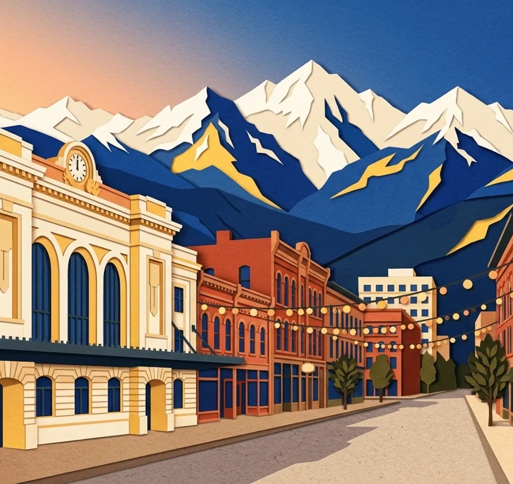
Denver pairs river confluences, mural-covered streets, angular architecture and lakefront paths, with the Rocky Mountain Front Range beyond the city.
Explore the map
Photo spots on the map
1 of 10 photo ideas has sourced location coordinates. The initial view is for orientation. An area marker does not indicate an exact photo position.
Select a highlighted number to show its sourced location on the map. Every name links to the photo spot.
If the map does not load, use the OpenStreetMap link or the photo spot list.
Map data: © OpenStreetMap contributors, ODbL.
Destination reference: GeoNames (CC BY 4.0). Spot coordinates: Wikidata, CC0. Selection, association and some calculations by You, Me, Away.
Denver Union Station
The granite façade of Denver Union Station dates to the 1914 Beaux-Arts rebuild. From the pavement on Wynkoop Street, frame the building front on, then move in for a tighter composition of the central entrance and station sign.
Search Google MapsLarimer Square
Victorian buildings line Larimer Square in Denver's urban shopping district. From the public sidewalk, photograph down the street so repeating upper facades create depth, while storefronts and street activity keep the frame grounded.
Search Google MapsConfluence Park
At Confluence Park, the South Platte River meets Cherry Creek and the two trails join. From the river path, layer the rapids in front of Denver's skyline for a frame that shows both water and city.
Search Google MapsI See What You Mean (Blue Bear)
The public sculpture I See What You Mean, known as the Blue Bear, peers into the Colorado Convention Center. From the 14th Street side, frame its silhouette against the glass so the gesture reads clearly.
Search Google MapsRiNo Street Art
RiNo is a focus for Denver's mural scene, and its painted walls can change often. Walk public streets and photograph a visible mural from the sidewalk, including some surrounding wall to preserve its scale and neighborhood context.
Search Google MapsCity Park and Ferril Lake
City Park's skyline panorama places downtown beneath the Rocky Mountain Front Range. At Ferril Lake, start from the lakeside loop and use the water as a quiet foreground, leaving a clear strip of sky above the ridge.
Search Google MapsSloan's Lake Park
Sloan's Lake Park combines a lake, downtown skyline and Rocky Mountain views along a 2.6-mile paved shoreline path. Photograph from the path with water in the foreground and mountains defining the horizon.
Search Google MapsHamilton Building, Denver Art Museum
The Hamilton Building’s angular titanium panels reflect light in shifting tones. From Martin Plaza, shoot upward at the prow or bring the Big Sweep sculpture into the foreground to set off the building’s sharp planes.
Search Google MapsMillennium Bridge
The Millennium Bridge's cables fan from one tilted mast above the rail tracks, giving its deck a ship-like outline. Photograph from the stair base for the structure, then from the deck toward LoDo and Commons Park.
Search Google MapsSculpture Park and Dancers
Sculpture Park is a public outdoor space at the edge of Denver's Arts Complex, with Jonathan Borofsky's 60-foot Dancers. Photograph the sculpture from the park edge and leave open sky around it to emphasize its height.
Search Google MapsSources for these photo spots
- Denver Union Station: The History & Legacy Of Union Station
- Visit Denver: Denver's Best Photo Opportunities
- Visit Denver: Denver Highland to Sloan's Lake Walking Tour
- Denver Public Art: I See What You Mean
- Denver Performing Arts Complex: Sculpture Park
- City and County of Denver: Trails
- City and County of Denver: Water Quality in Lakes and Streams
- Denver Art Museum: Sensing a Different Way
- Visit Denver: Denver's Most Striking Architecture
- Denver Art Museum: Outdoor Art