Dunedin / 10 photo spots
10 Instagram spots around Dunedin
Dunedin has distinctive historic buildings, green spaces and views across the harbour and coast. These ten ideas move between the city centre and nearby outdoor viewpoints.
Explore the map
Photo spots on the map
5 of 10 photo ideas have sourced location coordinates. The initial view is for orientation. An area marker does not indicate an exact photo position.
Select a highlighted number to show its sourced location on the map. Every name links to the photo spot.
If the map does not load, use the OpenStreetMap link or the photo spot list.
All photo spots
- Dunedin Botanic GardenApproximate area
- Baldwin StreetApproximate area
- First Church of OtagoSourced place
- The OctagonApproximate area
- Ross Creek ReservoirApproximate area
Map data: © OpenStreetMap contributors, ODbL.
Destination reference: GeoNames (CC BY 4.0). Spot coordinates: Wikidata, CC0. Selection, association and some calculations by You, Me, Away.
Dunedin Railway Station
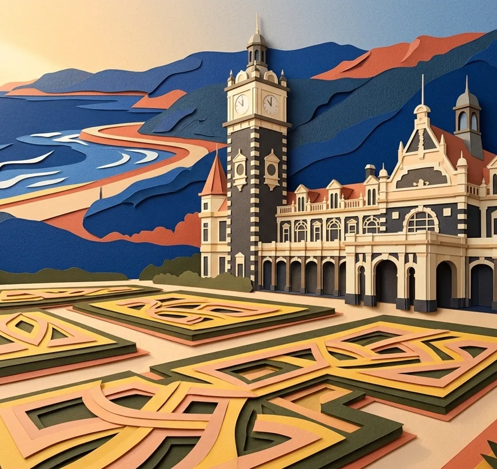
Dunedin Railway Station stands beside Anzac Square. From the public square, compose a vertical view of the station’s distinctive façade and leave room around its roofline.
Search Google MapsDunedin Botanic Garden
The Botanic Garden contains ponds and paths through its plant collections. From a garden path, use the edge of a pond as a foreground line and include the surrounding trees. The appearance of the planting changes with the season.
Search Google MapsBaldwin Street
Baldwin Street climbs steeply through a residential neighbourhood. From the footpath near the lower end, photograph uphill to emphasise the gradient and keep driveways and the roadway clear.
Search Google MapsSt Clair Esplanade
The St Clair Esplanade follows the shore beside the beach. From the promenade, include a stretch of sand below the ocean horizon and use the curve of the waterfront to lead the eye along the coast. The council began replacing the handrails in sections during 2026. It planned to keep the promenade open. Follow the signs near any works.
Search Google MapsHarbourside Path
The shared walking and cycling path follows the harbour from the mouth of the Water of Leith towards St Leonards. From a spot clear of other users, place the harbour in the foreground and the opposite shore beyond it.
Search Google MapsUniversity of Otago Clocktower
The Water of Leith runs through the university campus beside the Clocktower gardens. From the campus paths, photograph the tower across the stream and use the water as a foreground. Follow any site notices.
Search Google MapsFirst Church of Otago
The First Church of Otago stands on Moray Place with a prominent spire above its entrance. From the public pavement, make the tower the subject and include part of the stone façade for context.
Search Google MapsThe Octagon
Dunedin’s central Octagon is framed by civic buildings including St Paul’s Cathedral. Choose a viewpoint within the plaza and use the open space to give the cathedral façade room in the composition.
Search Google MapsGreenacres Street track
The Greenacres Street walking track at Macandrew Bay opens onto views of Otago Harbour. From the established path, frame the harbour between the nearby slopes and make space for cyclists sharing the route.
Search Google MapsRoss Creek Reservoir
Walking tracks run through the vegetated reserve surrounding Ross Creek Reservoir. Look for a view of the water through the trees from the public track and use the foliage as a natural frame.
Search Google MapsSources for these photo spots
- Tohu Whenua: Dunedin Railway Station
- Department of Conservation: Dunedin walks
- Guinness World Records: Baldwin Street
- Heritage New Zealand: University of Otago Clock Tower Building
- Heritage New Zealand: First Church of Otago
- Heritage New Zealand: St Paul’s Cathedral and Belfry
- Dunedin City Council: St Clair seawall handrail replacement
- Dunedin City Council: FYI May 2026