Durban / 10 photo spots
10 Instagram spots around Durban
Durban and its surroundings combine a long beachfront with city architecture, coastal forest and river gorges. These photo ideas include both the centre and the wider eThekwini area.
Explore the map
Photo spots on the map
5 of 10 photo ideas have sourced location coordinates. The initial view is for orientation. An area marker does not indicate an exact photo position.
Select a highlighted number to show its sourced location on the map. Every name links to the photo spot.
If the map does not load, use the OpenStreetMap link or the photo spot list.
All photo spots
- Durban Botanic GardensApproximate area
- Moses Mabhida StadiumSourced place
- Durban City HallSourced place
- Victoria Street MarketApproximate area
- Krantzkloof Nature ReserveApproximate area
Map data: © OpenStreetMap contributors, ODbL.
Destination reference: GeoNames (CC BY 4.0). Spot coordinates: Wikidata, CC0. Selection, association and some calculations by You, Me, Away.
Golden Mile
Durban’s Golden Mile has a long paved promenade beside its beaches. From the promenade, angle along the shoreline so the curve of the beach leads the eye toward the city buildings.
Search Google MapsuMhlanga Pier
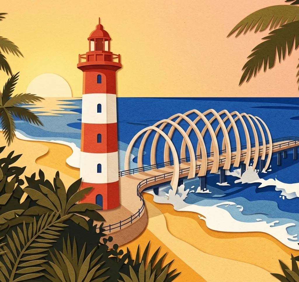
The uMhlanga Pier reaches out from the coastline beside the promenade. Start at the shore and compose along the pier toward the sea, letting the walkway draw the eye into the frame.
Search Google MapsuMhlanga Lighthouse
The red and white uMhlanga Lighthouse stands beside the coastal promenade north of central Durban. Photograph it from the promenade with a strip of ocean in the frame to show its maritime setting.
Search Google MapsuMhlanga Lagoon Nature Reserve
uMhlanga Lagoon Nature Reserve combines coastal forest with a wooden boardwalk near the lagoon. If the path is open, use the walkway as a leading line into the trees. Check current access before visiting.
Search Google MapsDurban Botanic Gardens
The entrance to Durban Botanic Gardens is framed by greenery and leads into a historic garden founded in 1849. From the street, photograph the gateway and its planted surroundings together.
Search Google MapsMoses Mabhida Stadium
Moses Mabhida Stadium is distinguished by the large arch above its roof. From the public approach outside, leave room around the structure so the arch and stadium read as one architectural form.
Search Google MapsPoint Waterfront Canal
The Point Waterfront has a canal lined with places to walk. Photograph along its edge, keeping the water in the foreground and the surrounding buildings in view to distinguish it from the beachfront.
Search Google MapsDurban City Hall
Durban City Hall combines an Edwardian exterior with a coppered dome and sculptural details. From the pavement on Pixley Ka Seme Street, include the dome above the façade in a vertical composition.
Search Google MapsVictoria Street Market
Victoria Street Market brings together Indian and African goods in central Durban. From the public street outside, photograph the market building within its neighbourhood, leaving space for the surrounding streetscape.
Search Google MapsKrantzkloof Nature Reserve
Krantzkloof Nature Reserve protects a forested gorge and has marked walking trails. Choose an open viewpoint along an authorised route and frame the wooded slopes together. Check current access before setting out.
Search Google MapsSources for these photo spots
- South African Tourism: Durban’s endless summer
- Durban Tourism: uMhlanga Pier
- Durban Tourism: Durban visitor guide
- Durban Tourism: Nature Trails uMhlanga
- Durban Central Tourism: Visitor’s Guide 2025
- Durban Tourism: Moses Mabhida Stadium
- World Bank: Durban Point Waterfront Development Project
- South African Tourism: eThekwini/Durban City Hall
- Durban Tourism: Ricksha Bus City Tour
- Durban Tourism: Krantzkloof Nature Reserve
- 1000 Hills Tourism: Visitor Guide 2025
- uMhlanga UIP: Reopening of the walkway and estuary trail bridge