Düsseldorf / 9 photo spots
9 Instagram spots around Düsseldorf
Düsseldorf offers river panoramas, old town details and contemporary architecture around the MedienHafen. Public gardens add quieter green settings.
Explore the map
Photo spots on the map
4 of 9 photo ideas have sourced location coordinates. The initial view is for orientation. An area marker does not indicate an exact photo position.
Select a highlighted number to show its sourced location on the map. Every name links to the photo spot.
If the map does not load, use the OpenStreetMap link or the photo spot list.
All photo spots
- BurgplatzApproximate area
- RheinuferpromenadeApproximate area
- Neuer ZollhofApproximate area
- KönigsalleeApproximate area
Map data: © OpenStreetMap contributors, ODbL.
Destination reference: GeoNames (CC BY 4.0). Spot coordinates: Wikidata, CC0. Selection, association and some calculations by You, Me, Away.
Burgplatz
The Schlossturm stands on Burgplatz between the old town and the Rhine. From the square, frame the tower with some of the cobbled foreground.
Search Google MapsSt. Lambertus at Stiftsplatz
St. Lambertus rises beside Stiftsplatz in the old town. Photograph its distinctive twisted spire from the square and include part of the brick church below.
Search Google MapsRheinuferpromenade
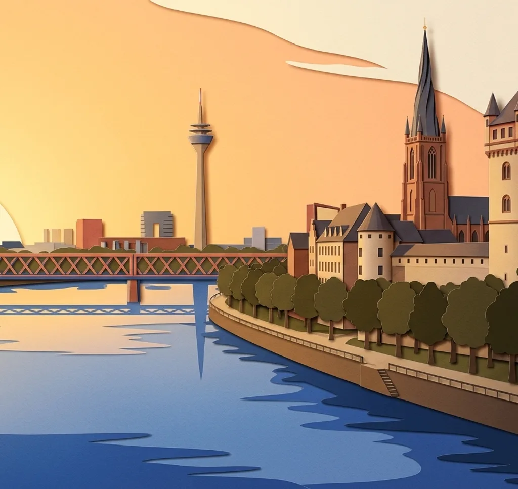
On the Rhine promenade, look towards the Rheinturm from the upper path near the steps down to the lower riverside promenade. Use the river as a foreground. Lower paths may close during high water.
Search Google MapsOberkasseler Rheinwiesen
From the public paths on the Oberkassel bank, look across the Rhine to the old town skyline and Rheinturm. Follow closures during high water. Check city permit rules for organized shoots that go beyond ordinary park use.
Search Google MapsNeuer Zollhof
The three buildings of Neuer Zollhof stand in the MedienHafen. From the public route along Zollhof, compare the curved facades in one architectural composition.
Search Google MapsJulo-Levin-Ufer
At Julo-Levin-Ufer, the colorful Colorium stands near the Living Bridge. From the public waterfront route, use its facade as the focus of a close architectural crop.
Search Google MapsKönigsallee
The Kö-Graben runs through Königsallee between rows of trees. From the northern end near the Tritonenbrunnen, look along the water for a symmetrical view.
Search Google MapsGoldene Brücke, Hofgarten
The Goldene Brücke crosses the water at the Landskrone in Hofgarten. From a park path, frame the small bridge with its setting by the water. Check city permit rules for organized shoots that go beyond ordinary park use.
Search Google MapsJapanese Garden, Nordpark
The Japanese Garden in Nordpark combines water, stones and shaped pines along a circular path. Photograph a small arrangement from the path. Check city permit rules for organized shoots that go beyond ordinary park use.
Search Google MapsSources for these photo spots
- Düsseldorf Tourism: Burgplatz
- Düsseldorf Tourism: St. Lambertus
- Düsseldorf Tourism: old town walking route
- Düsseldorf Tourism: children’s city walk
- City of Düsseldorf: flood response
- Düsseldorf Tourism: Rhine meadows
- Düsseldorf Tourism: city guide Oberkassel
- Düsseldorf Tourism: MedienHafen
- Düsseldorf Tourism: harbour walking route
- Düsseldorf Tourism: Königsallee
- Düsseldorf Tourism: city walk
- Düsseldorf Tourism: Hofgarten
- City of Düsseldorf: Goldene Brücke
- City of Düsseldorf: Nordpark
- City of Düsseldorf: Japanese Garden maintenance
- City of Düsseldorf: special use of green spaces