Edinburgh / 10 photo spots
10 Instagram spots around Edinburgh
Edinburgh combines volcanic hills, historic streets and gardens with striking views across the city. These photo ideas connect recognisable landmarks with smaller corners of the Scottish capital.
Explore the map
Photo spots on the map
8 of 10 photo ideas have sourced location coordinates. The initial view is for orientation. An area marker does not indicate an exact photo position.
Select a highlighted number to show its sourced location on the map. Every name links to the photo spot.
If the map does not load, use the OpenStreetMap link or the photo spot list.
All photo spots
- Edinburgh CastleApproximate area
- Royal MileApproximate area
- Arthur’s SeatApproximate area
- Calton HillApproximate area
- Dean VillageApproximate area
- Victoria StreetApproximate area
- Princes Street GardensApproximate area
- Royal Botanic Garden EdinburghApproximate area
Map data: © OpenStreetMap contributors, ODbL.
Destination reference: GeoNames (CC BY 4.0). Spot coordinates: Wikidata, CC0. Selection, association and some calculations by You, Me, Away.
Edinburgh Castle
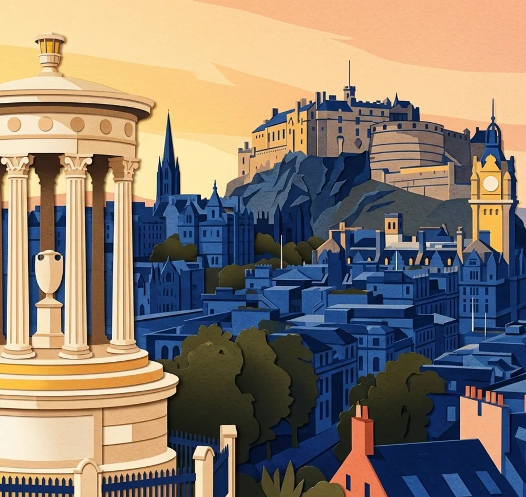
The castle stands on volcanic rock above the Old Town, with defensive walls defining its silhouette. Make the rock part of your composition and leave room around the fortress to show its elevated position.
Search Google MapsRoyal Mile
The Royal Mile links Edinburgh Castle with the Palace of Holyroodhouse through the Old Town. Photograph along the street and use its changing slope and stone façades to give a wide frame depth.
Search Google MapsArthur’s Seat
Arthur’s Seat rises in Holyrood Park above the city. A wide view can place the grassy volcanic slopes in the foreground and the city or coast behind them, making the landscape as important as the skyline.
Search Google MapsCalton Hill
Calton Hill combines monuments with elevated views over Edinburgh. Position one of the stone structures at the edge of your frame and leave the city skyline visible beyond it for a sense of place.
Search Google MapsDean Village
Dean Village sits beside the Water of Leith, where stone buildings meet the river. Compose along the water and include the façades on its banks to show the former village within the city.
Search Google MapsVictoria Street
Victoria Street is known for its curve and colourful shopfronts near Grassmarket. Follow the bend with your camera and allow the buildings to recede through the frame instead of isolating a single doorway.
Search Google MapsThe Vennel
The Vennel is a stepped passage near Grassmarket with a view towards Edinburgh Castle. Use its stone walls and stairs as a natural frame, keeping the castle visible at the far end.
Search Google MapsPrinces Street Gardens
Princes Street Gardens stretch below the castle alongside the New Town. Photograph from within the gardens, using a path or trees in the foreground to relate the green space to the castle above.
Search Google MapsPalace of Holyroodhouse
The Palace of Holyroodhouse marks the lower end of the Royal Mile. A frontal architectural view gives the façade space, while a wider frame can show how the palace meets the surrounding landscape.
Search Google MapsRoyal Botanic Garden Edinburgh
The Royal Botanic Garden Edinburgh includes the Rock Garden and a diverse collection of plants. Compose closely around leaf shapes and textures, or follow a garden path through the frame for a wider view.
Search Google MapsSources for these photo spots
- VisitScotland: Edinburgh
- Forever Edinburgh: Edinburgh Castle
- Forever Edinburgh: Edinburgh viewpoints
- Forever Edinburgh: Heritage city guide
- Forever Edinburgh: Classic city itinerary
- Forever Edinburgh: New Town attractions
- Forever Edinburgh: Stockbridge
- Forever Edinburgh: Victoria Street
- Royal Botanic Garden Edinburgh: Living Collection