Edmonton / 10 photo spots
10 Instagram spots around Edmonton
Edmonton’s river valley, gardens and historic districts offer a mix of skyline views and close-up details. These ideas use public viewpoints and visitor paths, with a seasonal trip beyond the city.
Explore the map
Photo spots on the map
5 of 10 photo ideas have sourced location coordinates. The initial view is for orientation. An area marker does not indicate an exact photo position.
Select a highlighted number to show its sourced location on the map. Every name links to the photo spot.
If the map does not load, use the OpenStreetMap link or the photo spot list.
All photo spots
- Muttart ConservatoryApproximate area
- Tawatinâ BridgeSourced place
- Art Gallery of AlbertaSourced place
- Old StrathconaApproximate area
- Fort Edmonton ParkApproximate area
Map data: © OpenStreetMap contributors, ODbL.
Destination reference: GeoNames (CC BY 4.0). Spot coordinates: Wikidata, CC0. Selection, association and some calculations by You, Me, Away.
Queen Elizabeth Park
From an open hilltop lookout, frame the Walterdale Bridge against the downtown skyline. The city lists trail and road work on the east side of Queen Elizabeth Park Road, so check access and follow any detours.
Search Google MapsMuttart Conservatory
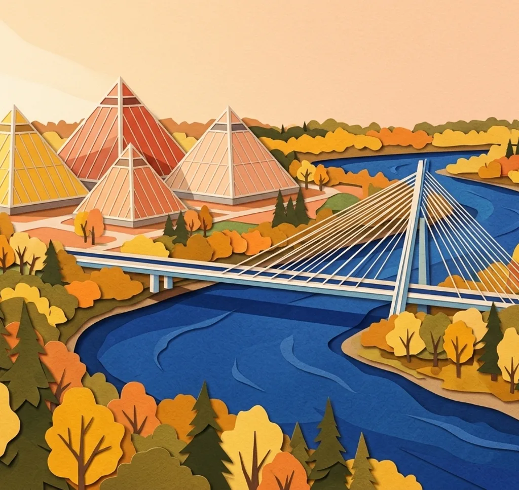
Inside the glass pyramids, use the path to frame tropical leaves beneath the sloping roof. Admission applies. Casual handheld photos are welcome, while group photo sessions are not allowed during regular daytime opening hours.
Search Google MapsTawatinâ Bridge
Look up from the lower shared path to photograph David Garneau’s painted ceiling panels. Keep to the pedestrian deck and leave room for people walking and cycling.
Search Google MapsLouise McKinney Park
In the Chinese Garden, use an open path to include the Ting pavilion and its garden setting. The city notes limited accessibility in this part of the park.
Search Google MapsAlberta Legislature
From the public grounds, compose the Legislature’s dome with trees or the seasonal fountains in the foreground. Follow signs around events and stay within open areas.
Search Google MapsArt Gallery of Alberta
From Churchill Square, angle your shot to show the gallery’s curved steel ribbon against its angular windows. Step back along the square for a wider view of the facade.
Search Google MapsEzio Faraone Park
From the upper park, include the High Level Bridge and river valley in a wide frame. Stay on the park paths and check current notices if your walk also uses the bridge sidewalks.
Search Google MapsOld Strathcona
Walk along the sidewalk on Whyte Avenue and pick a row of historic shopfronts for a street scene. A slightly upward angle brings the older upper storeys into the picture.
Search Google MapsAlberta Botanic Garden
Southwest of Edmonton, the Kurimoto Japanese Garden has a pond and bridge to frame from the paths. Admission applies and hours change with the seasons. All wedding and engagement photos must be booked in advance. Commercial photography and filming must also be booked in advance. In winter, stay on the paths.
Search Google MapsFort Edmonton Park
During the general admission season, photograph the historic streetscapes from the visitor paths. Admission applies. The regular park season is currently closed, and fall and winter access is limited to the Indigenous Peoples Experience.
Search Google MapsSources for these photo spots
- City of Edmonton: Queen Elizabeth Park
- City of Edmonton: Muttart pyramids
- City of Edmonton: Muttart photography guidelines
- City of Edmonton: Tawatinâ Bridge
- City of Edmonton: Louise McKinney Riverfront Park
- Legislative Assembly of Alberta: Plan your visit
- Art Gallery of Alberta: The building
- City of Edmonton: Downtown Public Places Plan
- City of Edmonton: High Level Bridge rehabilitation
- Alberta Register of Historic Places: Old Strathcona
- University of Alberta Botanic Garden: About
- University of Alberta Botanic Garden: Kurimoto Japanese Garden
- University of Alberta Botanic Garden: Hours and access
- University of Alberta Botanic Garden: Photography
- University of Alberta Botanic Garden: Garden rules
- Fort Edmonton Park: Attractions
- Fort Edmonton Park: General admission season
- Fort Edmonton Park: Fall and winter admission