Florianópolis / 9 photo spots
9 Instagram spots around Florianópolis
Florianópolis combines a historic centre with beaches, lagoons and viewpoints across the island. These photo stops use public squares, visitor areas and the shore.
Explore the map
Photo spots on the map
1 of 9 photo ideas has sourced location coordinates. The initial view is for orientation. An area marker does not indicate an exact photo position.
Select a highlighted number to show its sourced location on the map. Every name links to the photo spot.
If the map does not load, use the OpenStreetMap link or the photo spot list.
Map data: © OpenStreetMap contributors, ODbL.
Destination reference: GeoNames (CC BY 4.0). Spot coordinates: Wikidata, CC0. Selection, association and some calculations by You, Me, Away.
Parque da Luz
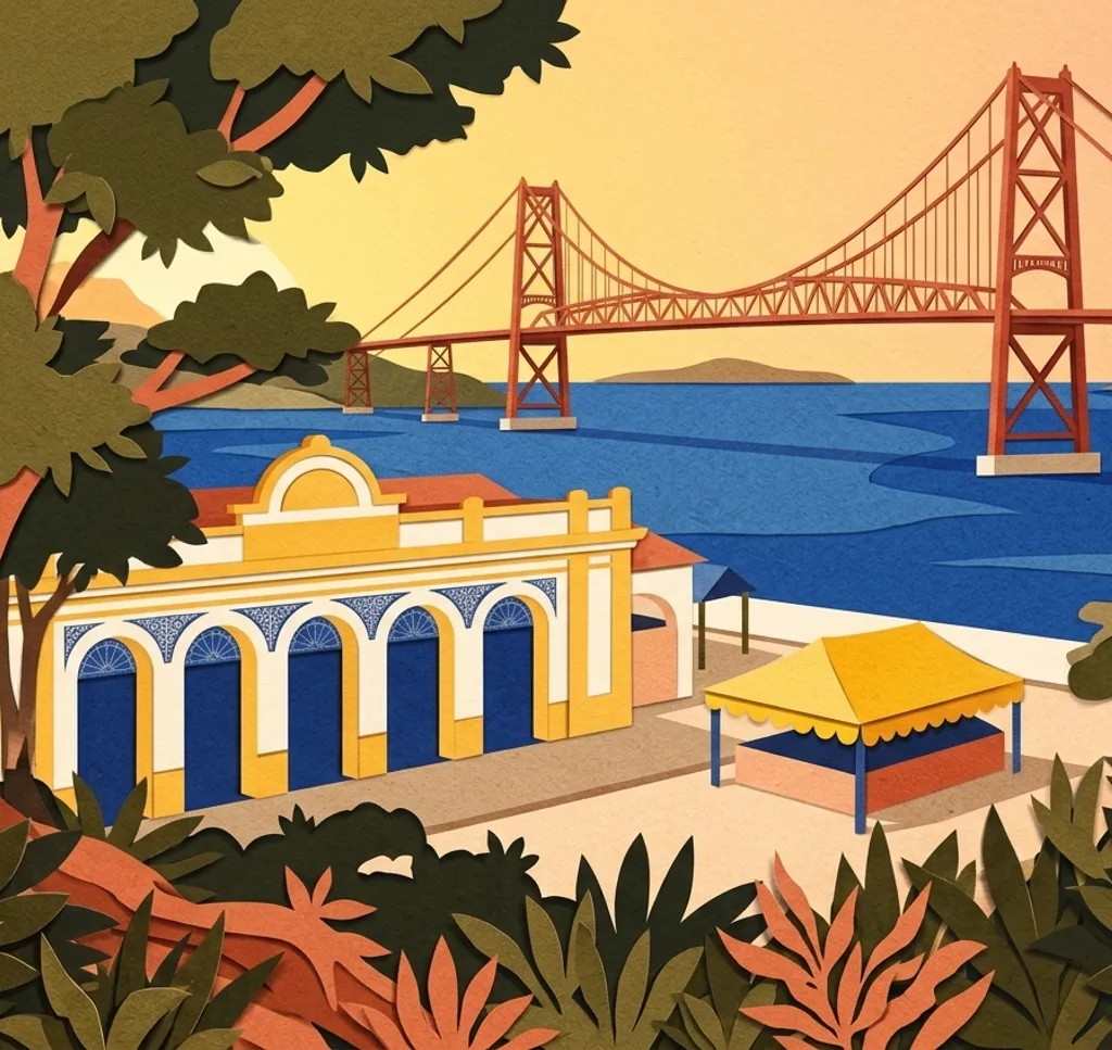
From the public park at the island end of Ponte Hercílio Luz, frame the bridge above the trees. Use open paths and follow any barriers during park improvements.
Search Google MapsLargo da Alfândega
This public square sits beside the old customs house and Mercado Público. From the square, use the paving to lead the eye towards the historic buildings.
Search Google MapsPraça XV fig tree
The fig tree stands in Praça XV de Novembro in the city centre. From an open part of the square, look up into the branching canopy. Respect any tree-care barriers.
Search Google MapsMirante do Morro da Cruz
The park has viewpoints looking over the city. From an open viewpoint, layer the city buildings across the frame. Check access to the park before setting out. Check FLORAM’s rules for commercial photography in the protected area.
Search Google MapsLagoa do Peri
At the visitor area of Lagoa do Peri, photograph the lagoon from the shore and use the wooded hills as a backdrop. Check visitor access and stay on open paths. Check FLORAM’s rules for commercial photography in the protected area.
Search Google MapsPraia da Joaquina
Photograph the surf from a safe spot on the sand at Joaquina. Leave room above the waves and keep clear of dunes, vegetation and breaking water. Check local flags and sea conditions. Check FLORAM’s rules for commercial photography in the protected area.
Search Google MapsPraia do Campeche
From Praia do Campeche on Santa Catarina Island, place the sea and Ilha do Campeche in a wide frame. Stay back from the waves and use established beach access. The island itself has separate access rules. Check FLORAM’s rules for commercial photography in the protected area.
Search Google MapsPraia Mole
Praia Mole is part of the Galheta protected area. From the sand, keep the beach and green slopes in the frame. Watch the waves and stay out of marked or closed areas. Check FLORAM’s rules for commercial photography in the protected area.
Search Google MapsIgreja da Lapa, Ribeirão da Ilha
In Ribeirão da Ilha, the Igreja de Nossa Senhora da Lapa stands by the central square. Photograph the exterior from the public square and use the doorway as your focal point. Ask locally about any indoor photo rules.
Search Google MapsSources for these photo spots
- Prefeitura de Florianópolis: Parque da Luz
- Secretaria de Turismo de Santa Catarina: Ponte Hercílio Luz
- Prefeitura de Florianópolis: Largo da Alfândega
- Sapiens Parque: Florianópolis e o Centro Histórico
- Prefeitura de Florianópolis: Parque Natural Morro da Cruz
- Prefeitura de Florianópolis: Lagoa do Peri
- Prefeitura de Florianópolis: Parque Natural da Lagoa da Conceição
- Prefeitura de Florianópolis: Monumento Natural da Galheta
- Visit Brasil: Florianópolis
- Corpo de Bombeiros Militar de Santa Catarina: Praia
- Arquivo Público de Santa Catarina: Igreja de Nossa Senhora da Lapa
- Prefeitura de Florianópolis: planos e gestão das unidades de conservação
- Prefeitura de Florianópolis: diagnóstico do Distrito Campeche
- Ministério do Turismo: Praia da Lagoa do Peri