Fortaleza / 10 photo spots
10 Instagram spots around Fortaleza
Fortaleza offers coastal promenades, urban parks and historic buildings. These ten viewpoints use public outdoor spaces for different compositions.
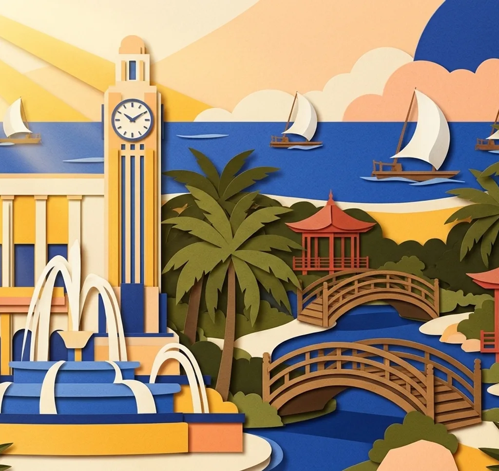
Explore the map
Photo spots on the map
4 of 10 photo ideas have sourced location coordinates. The initial view is for orientation. An area marker does not indicate an exact photo position.
Select a highlighted number to show its sourced location on the map. Every name links to the photo spot.
If the map does not load, use the OpenStreetMap link or the photo spot list.
All photo spots
- Praça do FerreiraApproximate area
- Praia do FuturoApproximate area
- Ponte dos InglesesSourced place
- Praia do MucuripeApproximate area
Map data: © OpenStreetMap contributors, ODbL.
Destination reference: GeoNames (CC BY 4.0). Spot coordinates: Wikidata, CC0. Selection, association and some calculations by You, Me, Away.
Jardim Japonês Jusaku Fujita
The Japanese Garden on Avenida Beira-Mar has a red bridge and planted surroundings. Stay on the garden paths and compose around the bridge as a bright point among the greenery.
Search Google MapsPraça do Ferreira
The Coluna da Hora and Cineteatro São Luiz are landmarks around Praça do Ferreira. From the square, choose either the clock column or the cinema frontage as the centre of the image.
Search Google MapsParque do Cocó
Parque do Cocó protects a landscape of mangroves and riverside vegetation. On an open marked trail, look for a layered composition of tree trunks and foliage without leaving the path.
Search Google MapsPraia do Futuro
Praia do Futuro has a long sandy shoreline. From the dry sand, use the meeting line between beach and water to divide a wide frame into two simple bands.
Search Google MapsEstoril
Estoril is a historic building near Praia de Iracema. From its outside area, frame a section of the building and its grounds rather than relying on interior access.
Search Google MapsEstação das Artes
The Estação das Artes occupies a former railway station. From the street, use the historic building’s façade and openings to create a rhythm across the photograph.
Search Google MapsPasseio Público
Fortaleza’s Passeio Público has tree-lined paths, fountains and historic details. Pick one fountain or section of ironwork and let the trees provide the background.
Search Google MapsPonte dos Ingleses
The Ponte dos Ingleses extends from Praia de Iracema towards the Atlantic. From the promenade, show the pier against the water and leave some sky around its silhouette.
Search Google MapsPraia do Mucuripe
At Praia do Mucuripe, traditional jangada boats are part of the coastal scene. From the promenade, include the shoreline and any boats visible at the time without approaching working vessels.
Search Google MapsCentro Dragão do Mar
The Dragão do Mar cultural centre brings museums and public spaces together near Praia de Iracema. Photograph an exterior architectural detail from the surrounding street.
Search Google MapsSources for these photo spots
- Prefeitura de Fortaleza, Jardim Japonês
- Visit Fortaleza, centro histórico
- Visit Fortaleza, Parque do Cocó
- Visit Fortaleza, Praia do Futuro
- Visit Fortaleza, Estoril
- Visit Fortaleza, Complexo Estação das Artes
- Visit Fortaleza, Passeio Público
- Visit Fortaleza, Ponte dos Ingleses
- Visit Fortaleza, Praia do Mucuripe
- Visit Fortaleza, cultura e arte