Fukuoka / 10 photo spots
10 Instagram spots around Fukuoka
Fukuoka pairs waterfront views with gardens, distinctive architecture and lively evening streets. These ideas range from the city centre to its islands and coastal parks.
Explore the map
Photo spots on the map
4 of 10 photo ideas have sourced location coordinates. The initial view is for orientation. An area marker does not indicate an exact photo position.
Select a highlighted number to show its sourced location on the map. Every name links to the photo spot.
If the map does not load, use the OpenStreetMap link or the photo spot list.
All photo spots
- ACROS FukuokaSourced place
- Fukuoka TowerSourced place
- Nokonoshima Island ParkApproximate area
- Uminonakamichi Seaside ParkApproximate area
Map data: © OpenStreetMap contributors, ODbL.
Destination reference: GeoNames (CC BY 4.0). Spot coordinates: Wikidata, CC0. Selection, association and some calculations by You, Me, Away.
Ohori Park
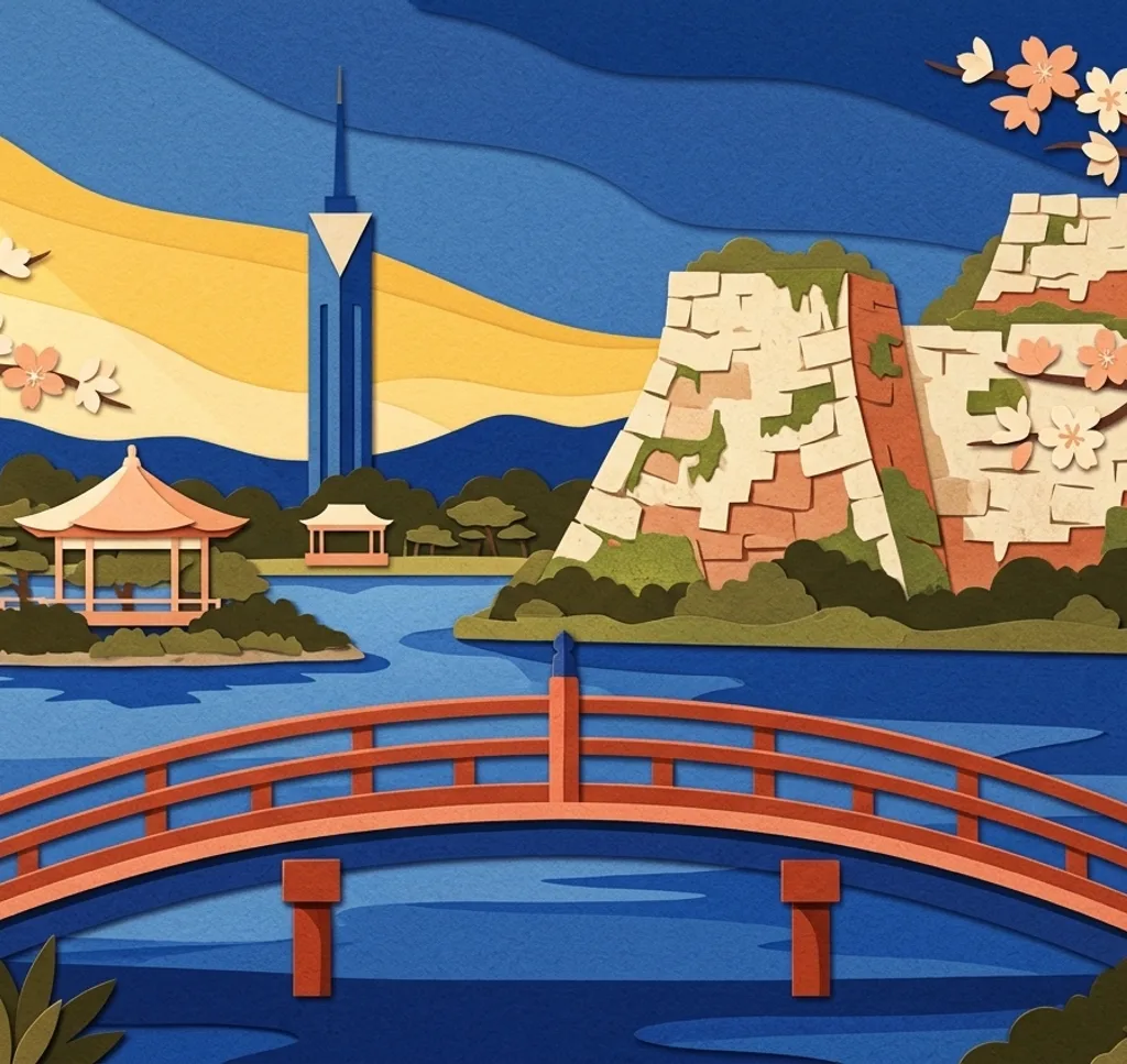
Ohori Park’s lake is crossed by islands joined by bridges, with the Ukimido pavilion on the water. From the lakeside path, frame a bridge leading towards the pavilion and leave the water visible around it.
Search Google MapsFukuoka Castle Ruins
The former castle in Maizuru Park retains stone walls and the Tamon-yagura turret. From below the wall, frame the turret above the masonry to show how the two surviving structures fit together.
Search Google MapsACROS Fukuoka
ACROS Fukuoka faces Tenjin Central Park with a stepped, planted façade. From the park, give the terraces space above the trees so the building’s layered green shape remains legible against the sky.
Search Google MapsFukuoka Tower
Fukuoka Tower has a triangular form clad in mirrored panels. From its outdoor plaza, step back to include the full height and use a vertical frame to emphasize the pointed silhouette against the sky.
Search Google MapsMomochi Seaside Park
Momochi Seaside Park has an artificial beach north of Fukuoka Tower. From the sand, turn along the shoreline and include both beach and open water for a wider view of the city’s coastal setting.
Search Google MapsNishi Park
Nishi Park’s observatory looks over Hakata Bay and towards Nokonoshima. Place the water in the foreground and the distant island higher in the frame. Clear weather will make the island easier to see.
Search Google MapsNakasu Riverside Yatai
Nakasu’s riverside yatai food stalls bring light to the Naka River after dark. From the riverside path, include the stalls and their reflections when they appear. Avoid blocking customers and ask before photographing people.
Search Google MapsNokonoshima Island Park
Nokonoshima Island Park overlooks Hakata Bay and grows seasonal flowers. From a path beside the beds, include both blooms and the bay. Commercial photography requires permission, and flowers and beds must be left undisturbed.
Search Google MapsUminonakamichi Seaside Park
Uminonakamichi Seaside Park changes with its seasonal flower displays. From the path at Flower Hill, frame a sweep of the current planting. Stay outside flowerbeds and check the park’s permit rules for commercial photography.
Search Google MapsRakusuien Garden
Rakusuien is a small strolling garden in Hakata with a pond and a waterfall edged with natural stones. From a garden path, compose the water and stones together. Contact the garden about professional photography.
Search Google MapsSources for these photo spots
- Fukuoka City: Ohori Park
- Fukuoka City: Fukuoka Castle photo spots
- Fukuoka City: ACROS Fukuoka
- Fukuoka City: A walk through architecture
- Fukuoka City: Fukuoka Tower
- Fukuoka Tower: English visitor guide
- Fukuoka City: Momochi Seaside Park
- Fukuoka City: Nishi Park
- Fukuoka City: Nakasu after dark
- Fukuoka City: Yatai
- Fukuoka City: Nokonoshima Island Park
- Nokonoshima Island Park: photography regulations
- Fukuoka City: Uminonakamichi Seaside Park
- Uminonakamichi Seaside Park: English visitor map
- Uminonakamichi Seaside Park: photography applications
- Fukuoka City: Japanese gardens
- Rakusuien: visitor information