Galle / 10 photo spots
10 Instagram spots around Galle
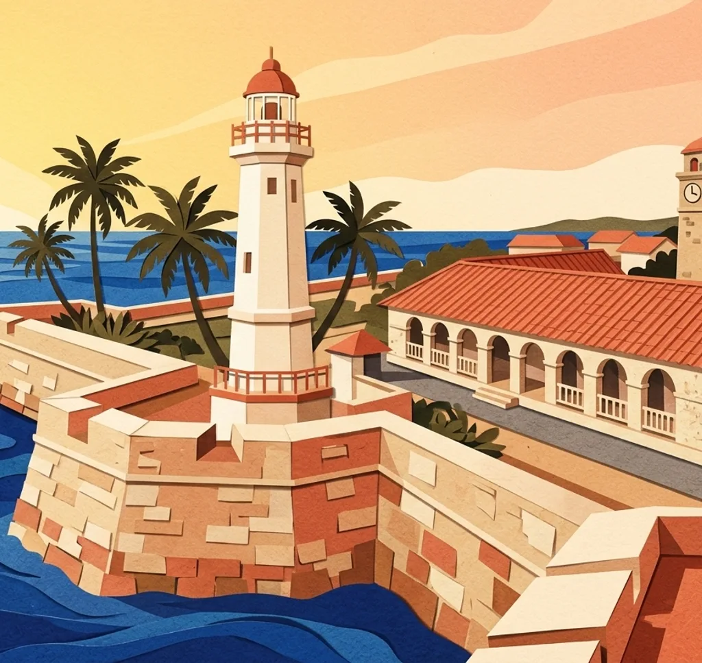
Galle’s historic fort combines stone ramparts with streets and courtyards. The Galle Heritage Foundation sets conditions for photography and filming, so check its current guidance. The selection also includes separate beach outings along the southern coast.
Explore the map
Photo spots on the map
3 of 10 photo ideas have sourced location coordinates. The initial view is for orientation. An area marker does not indicate an exact photo position.
Select a highlighted number to show its sourced location on the map. Every name links to the photo spot.
If the map does not load, use the OpenStreetMap link or the photo spot list.
All photo spots
- Galle LighthouseSourced place
- Unawatuna BeachApproximate area
- Hikkaduwa BeachApproximate area
Map data: © OpenStreetMap contributors, ODbL.
Destination reference: GeoNames (CC BY 4.0). Spot coordinates: Wikidata, CC0. Selection, association and some calculations by You, Me, Away.
Galle Fort Ramparts
The old fort walls are a promenade overlooking the sea. From a permitted section of the walkway, use the wall as a foreground line and keep a comfortable distance from unguarded edges.
Search Google MapsGalle Fort Clock Tower
The clock tower is a landmark in the historic fort. From a permitted pedestrian space, frame the tower with some of the surrounding fort wall to show its setting.
Search Google MapsGalle Dutch Hospital
The former Dutch hospital has been adapted as a shopping and dining precinct. Look for an architectural detail from a visitor area and check the property rules before arranging a shoot.
Search Google MapsOld Gate of Galle Fort
The Old Gate is an entrance in the historic fort wall. Use a safe pedestrian position to frame the arch and a small part of the surrounding masonry.
Search Google MapsGalle Lighthouse
Galle Lighthouse stands beside the fort’s southern waterfront. From a public path, frame the lighthouse against the sky and keep a safe distance from the edge of the ramparts.
Search Google MapsLeyn Baan Street
Leyn Baan is one of the historic streets inside the fort. From a public part of the street, pick out a doorway or shutter detail and keep the passage and private entrances clear.
Search Google MapsFlag Rock and the southern rampart
Flag Rock is part of the fort’s southern seaward edge. Use an open section of the established rampart walkway to photograph the sea, staying back from the edge.
Search Google MapsUnawatuna Beach
Unawatuna is a coastal town a short trip southeast of Galle. From a dry place on the beach, compose a curved shoreline against the water and leave the sea horizon level.
Search Google MapsKoggala Beach
Koggala is a beach east of Galle and a separate coastal outing. Use a broad view from dry sand to show the meeting of shoreline, water and open sky.
Search Google MapsHikkaduwa Beach
Hikkaduwa is a separate coastal town northwest of Galle. Frame a wide strip of beach and sea from a dry place on shore. The light and waves will change the result.
Search Google MapsSources for these photo spots
- Sri Lanka Tourism: Galle
- UNESCO World Heritage Centre: Old Town of Galle and its Fortifications
- Galle Heritage Foundation: Filming and Photography within Galle Fort
- Sri Lanka Tourism: Photography, Restrictions and Permits
- Sri Lanka Tourism: Galle Fort
- Urban Development Authority: Dutch Hospital, Galle
- Sri Lanka Tourism: Explore Sri Lanka Southern Itinerary
- Sri Lanka Tourism: Galle Cruise Port
- Sri Lanka Tourism: Unawatuna
- Sri Lanka Tourism: Koggala Beach
- Sri Lanka Tourism: Hikkaduwa Beach