George, South Africa / 7 photo spots
7 Instagram spots around George, South Africa
George sits between the Outeniqua Mountains and the Garden Route coast. Its gardens and historic centre pair well with nearby beaches and the viewpoints around Wilderness.
Explore the map
Photo spots on the map
1 of 7 photo ideas has sourced location coordinates. The initial view is for orientation. An area marker does not indicate an exact photo position.
Select a highlighted number to show its sourced location on the map. Every name links to the photo spot.
If the map does not load, use the OpenStreetMap link or the photo spot list.
Map data: © OpenStreetMap contributors, ODbL.
Destination reference: GeoNames (CC BY 4.0). Spot coordinates: Wikidata, CC0. Selection, association and some calculations by You, Me, Away.
Garden Route Botanical Garden
In the city’s botanical garden, paths lead past indigenous plant displays. Frame the foliage with the Outeniqua Mountains behind it. Admission is charged, and organised group events are not permitted.
Search Google MapsGeorge Museum
George Museum occupies a historic building in the city centre. From the public sidewalk, photograph the façade and its windows.
Search Google MapsRedberry Farm
At Redberry Farm outside George, photograph the giant strawberry structure from the visitor area. The lookout inside is a paid attraction, so check opening and ticket details before visiting.
Search Google MapsVictoria Bay Moon Gate
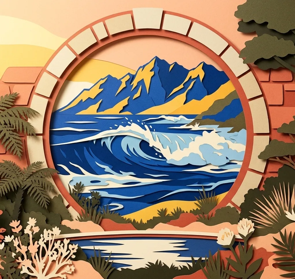
At Victoria Bay between George and Wilderness, the paved promenade leads to a circular stone Moon Gate. Frame the sea through the opening and stay on the path, away from spray and rocks.
Search Google MapsHerolds Bay Beach
Herolds Bay is a short drive from George. From the dry beach, frame the curve of the bay and its headlands. Watch the tide and stay clear of wet rocks and surf.
Search Google MapsMap of Africa Viewpoint
At Wilderness Heights east of George, the Map of Africa lookout overlooks a river bend in the forest. Frame the bend from the viewing area near the sign and leave the nearby paragliding launch clear.
Search Google MapsWilderness Beach
Wilderness Beach lies east of George. From an open beach access, photograph the long sweep of sand and sea. Stay on dry sand and keep clear of dunes, waves and any closed access points.
Search Google MapsSources for these photo spots
- Visit George, Garden Route Botanical Garden
- Garden Route Botanical Garden, visitor information and rules
- George Municipality, heritage precinct survey
- Visit George, Redberry Farm
- Visit George, Redberry Farm visitor attractions
- Visit George, Victoria Bay beach and Moon Gate
- Visit George, Herolds Bay Beach
- Visit George, Map of Africa viewpoint
- Visit George, Wilderness visitor map