Ghent / 10 photo spots
10 Instagram spots around Ghent
Ghent combines waterways, old squares and modern architecture within walking distance of its historic centre. These photo ideas include both waterside views and details worth a closer look.
Explore the map
Photo spots on the map
3 of 10 photo ideas have sourced location coordinates. The initial view is for orientation. An area marker does not indicate an exact photo position.
Select a highlighted number to show its sourced location on the map. Every name links to the photo spot.
If the map does not load, use the OpenStreetMap link or the photo spot list.
All photo spots
- PatersholApproximate area
- VrijdagmarktApproximate area
- RabotSourced place
Map data: © OpenStreetMap contributors, ODbL.
Destination reference: GeoNames (CC BY 4.0). Spot coordinates: Wikidata, CC0. Selection, association and some calculations by You, Me, Away.
Graslei and Korenlei
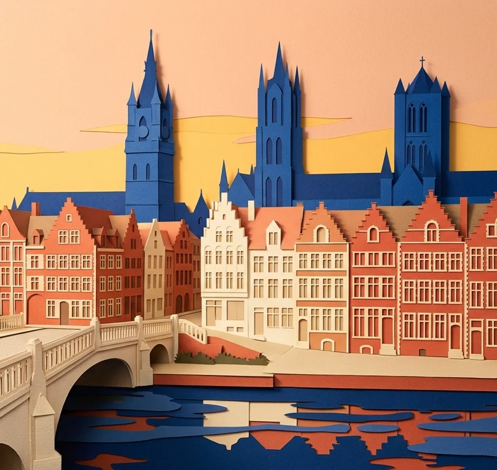
From the quay, photograph a section of the historic facades across the river Lys. Include a strip of water below the roofs to give the row of gabled houses some room.
Search Google MapsDe Krook and Nelson Mandela Promenade
De Krook stands at a bend in the Scheldt beside a waterside promenade. From the public walkway, use the curve of the bank to lead the eye towards the library building.
Search Google MapsSt Michael’s Bridge
On St Michael’s Bridge, look for the bronze figure on the central lantern. Photograph that detail with a small part of the bridge behind it, keeping the pedestrian route clear.
Search Google MapsPatershol
Patershol has narrow cobbled streets near the Castle of the Counts. Choose a street corner and frame two contrasting facades while leaving doorways and the route through the neighbourhood clear.
Search Google MapsVrijdagmarkt
The Vrijdagmarkt surrounds the statue of Jacob van Artevelde with a mix of facades. From the square, place the figure to one side and let the buildings form a backdrop.
Search Google MapsCastle of the Counts
The Castle of the Counts has towers and a moat. From the public area near Sint-Veerleplein, concentrate on a section of the stone outer wall and its towers.
Search Google MapsOld Fish Market gateway
Opposite the castle, the Old Fish Market has a monumental gateway with Neptune above it. From Sint-Veerleplein, compose a close view of the arch and its sculpted top.
Search Google MapsCity Pavilion
The open City Pavilion combines a striking roof with wood, glass and concrete. From the public space alongside it, frame part of the roof structure against the older buildings nearby.
Search Google MapsRabot
The Rabot has two towers flanking its central building. Photograph the restored structure from the public street and keep a little space around both towers to show their symmetry.
Search Google MapsGhent Belfry and Cloth Hall
At Sint-Baafsplein, the Belfry rises beside the ornate Cloth Hall. Try a vertical composition that includes part of the hall below the tower.
Search Google Maps