Gqeberha / 8 photo spots
8 Instagram spots around Gqeberha
Gqeberha combines beachfront views and public art with an excursion to Addo Elephant National Park. Ask the Donkin visitor centre about a guided visit to the central heritage sites.
Explore the map
Photo spots on the map
1 of 8 photo ideas has sourced location coordinates. The initial view is for orientation. An area marker does not indicate an exact photo position.
Select a highlighted number to show its sourced location on the map. Every name links to the photo spot.
If the map does not load, use the OpenStreetMap link or the photo spot list.
Map data: © OpenStreetMap contributors, ODbL.
Destination reference: GeoNames (CC BY 4.0). Spot coordinates: Wikidata, CC0. Selection, association and some calculations by You, Me, Away.
Donkin Reserve
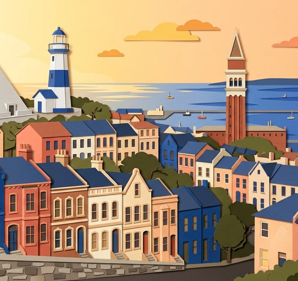
The stone pyramid and former lighthouse stand together in Donkin Reserve. From a park path, compose both monuments against the sky.
Search Google MapsVoting Line
The Voting Line at Donkin Reserve recalls South Africa’s first democratic elections. Photograph the steel figures from the path and let the line lead across your frame.
Search Google MapsDonkin Street houses
A row of historic terraced houses faces Donkin Reserve. From the reserve, use the descending roofline to give your composition rhythm. Respect the homes and entrances.
Search Google MapsCampanile Memorial
The Campanile marks the start of Route 67. Frame the tower vertically from the public sidewalk, keeping clear of the railway and harbour entrances.
Search Google MapsSt George’s Park
St George’s Park has paths through mature trees. Use one of the paths as a leading line and leave space for other park visitors.
Search Google MapsShark Rock Pier
At Hobie Beach, Shark Rock Pier extends into Algoa Bay. Photograph its shape from the beach, keeping well back from the surf.
Search Google MapsKing’s Beach
King’s Beach stretches between the harbour area and Humewood. From the sand, use the curve of the shoreline to lead the eye across the bay. Watch the waves and tide.
Search Google MapsAddo Main Camp waterhole
On a trip outside the city, photograph the waterhole from the visitor lookout at Addo Main Camp. Wildlife sightings vary. Park entry is paid, international visitors need a passport, and commercial photography needs a SANParks permit.
Search Google MapsSources for these photo spots
- Nelson Mandela Bay Tourism, Donkin Reserve
- Nelson Mandela Bay Tourism, Route 67
- Nelson Mandela Bay Tourism, heritage places
- Nelson Mandela Bay Tourism, visitor guide
- Nelson Mandela Bay Tourism, St George’s Park
- Nelson Mandela Bay Tourism, Hobie Beach and Shark Rock Pier
- SANParks, Addo Rest Camp
- SANParks, Addo visitor information
- SANParks, conservation fees 2026 to 2027
- SANParks, filming and photography applications
- University of Pretoria, Donkin Reserve and street houses